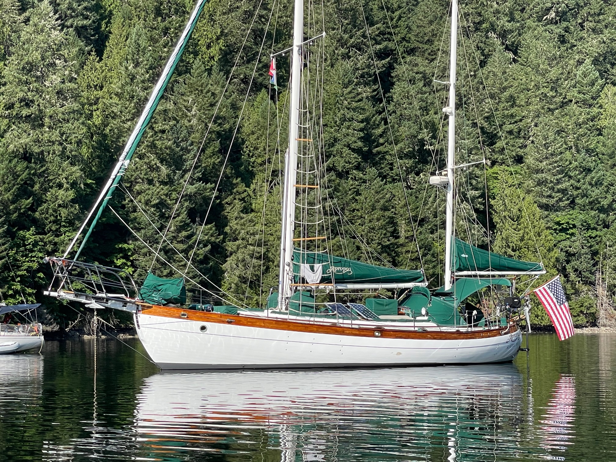
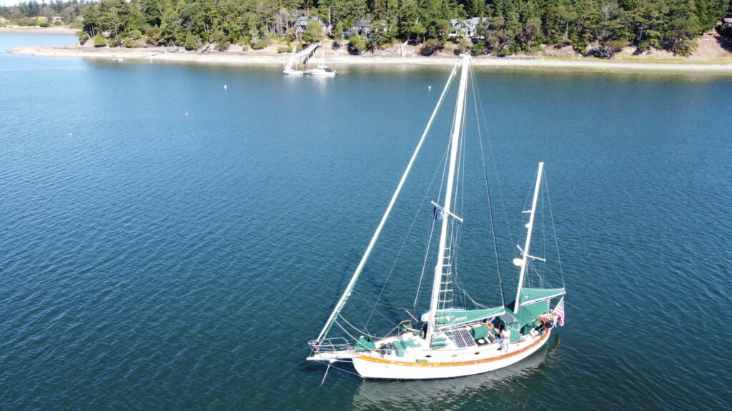
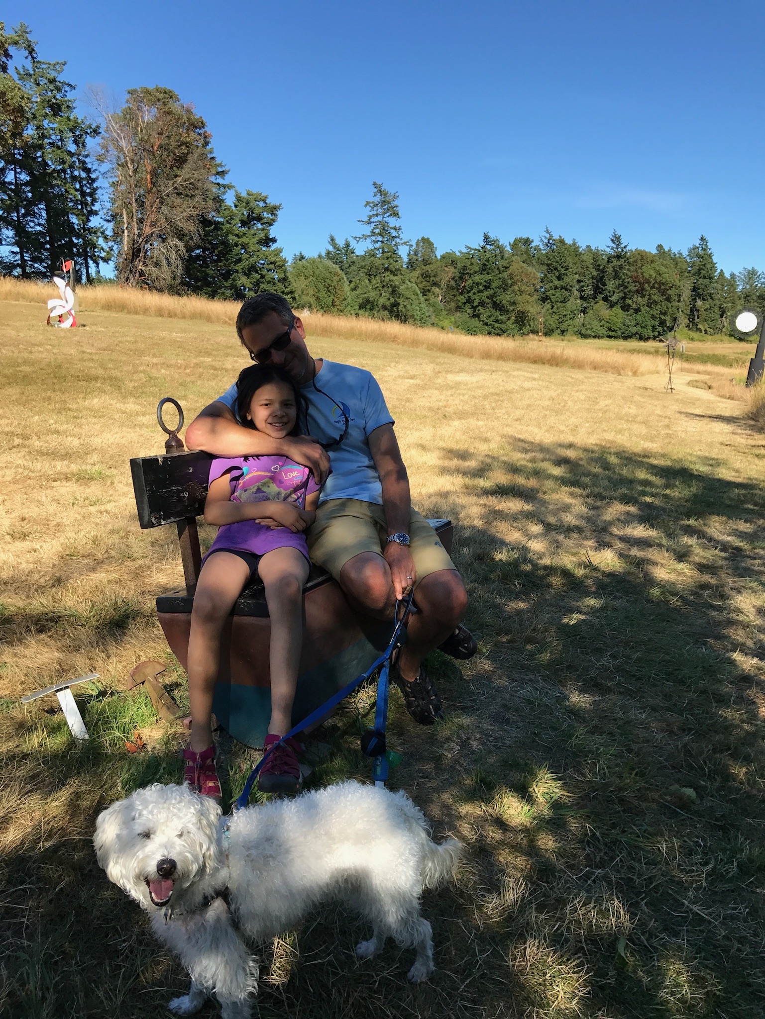
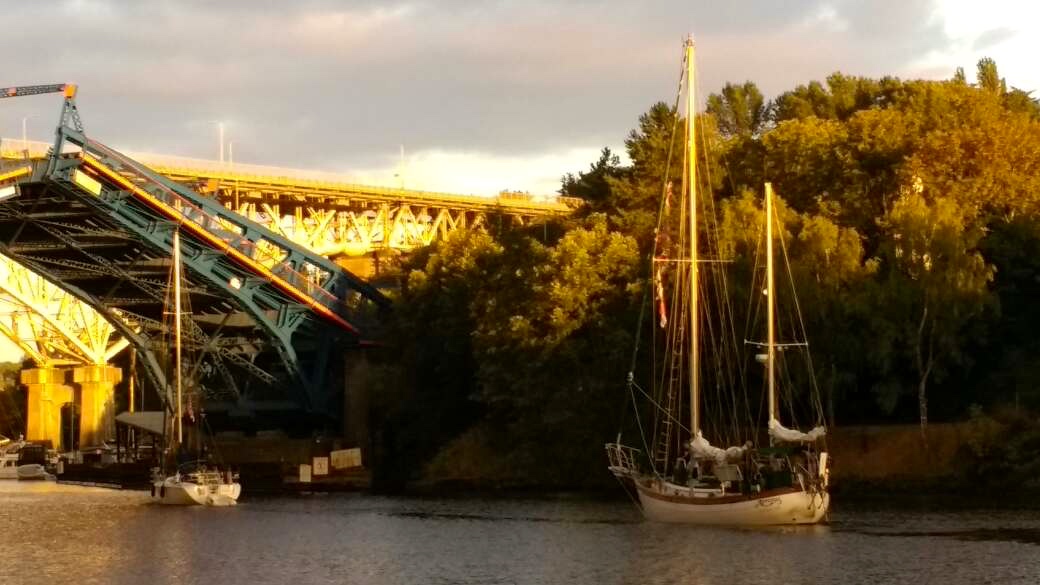
It’s been 10 years since I embarked on an offshore sailing trip with my wife and daughter. From August 2014 through July 2016 we sailed Apropos nearly 20,000 nm on a Pacific Ocean loop. Since then, it’s been fun sailing the waters of the Salish Sea–typically 1-2 week long trips in the summertime up north to the San Juan and Gulf Islands. But I miss the adventure of sailing offshore and traveling to exotic locations.
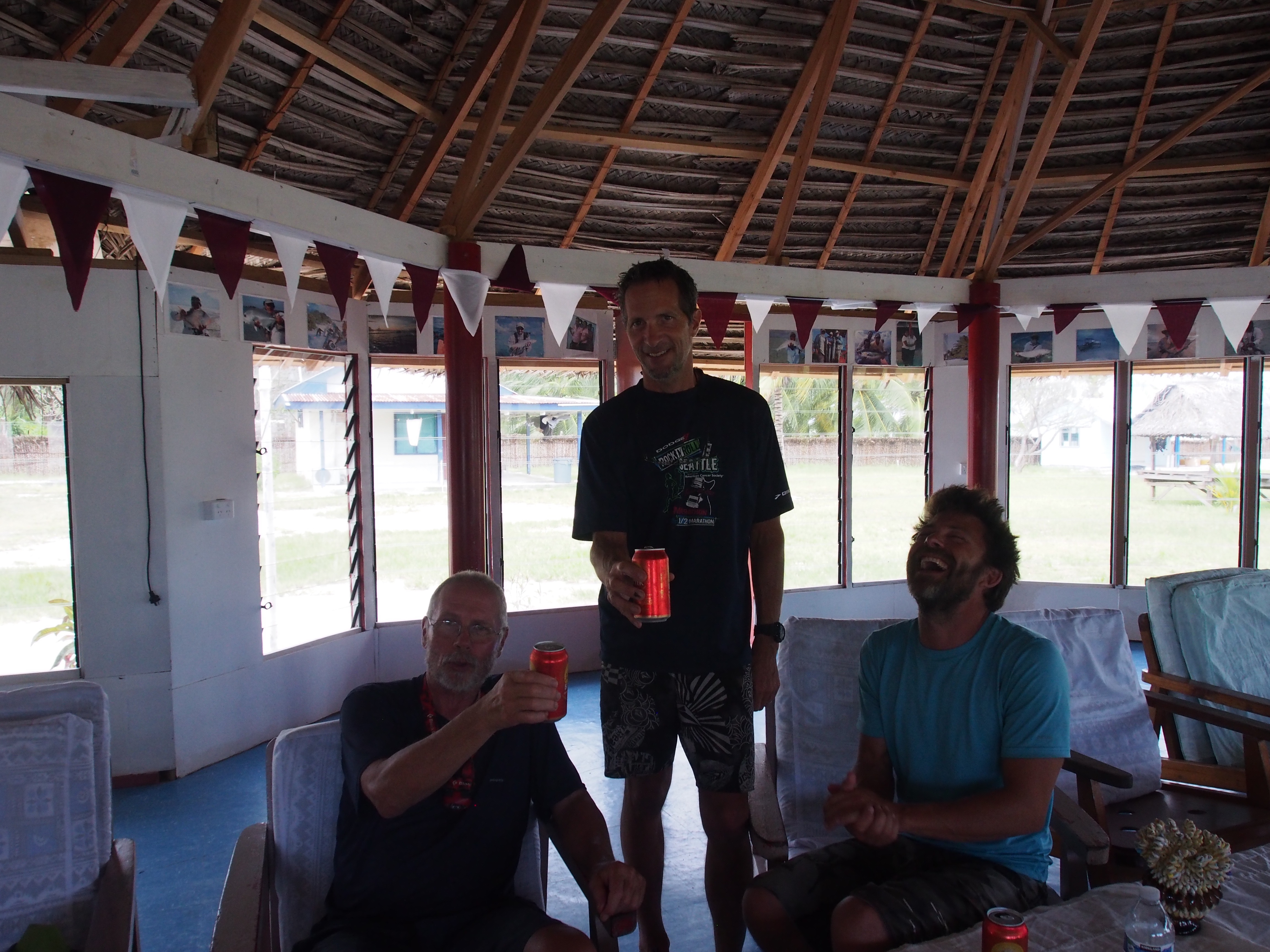
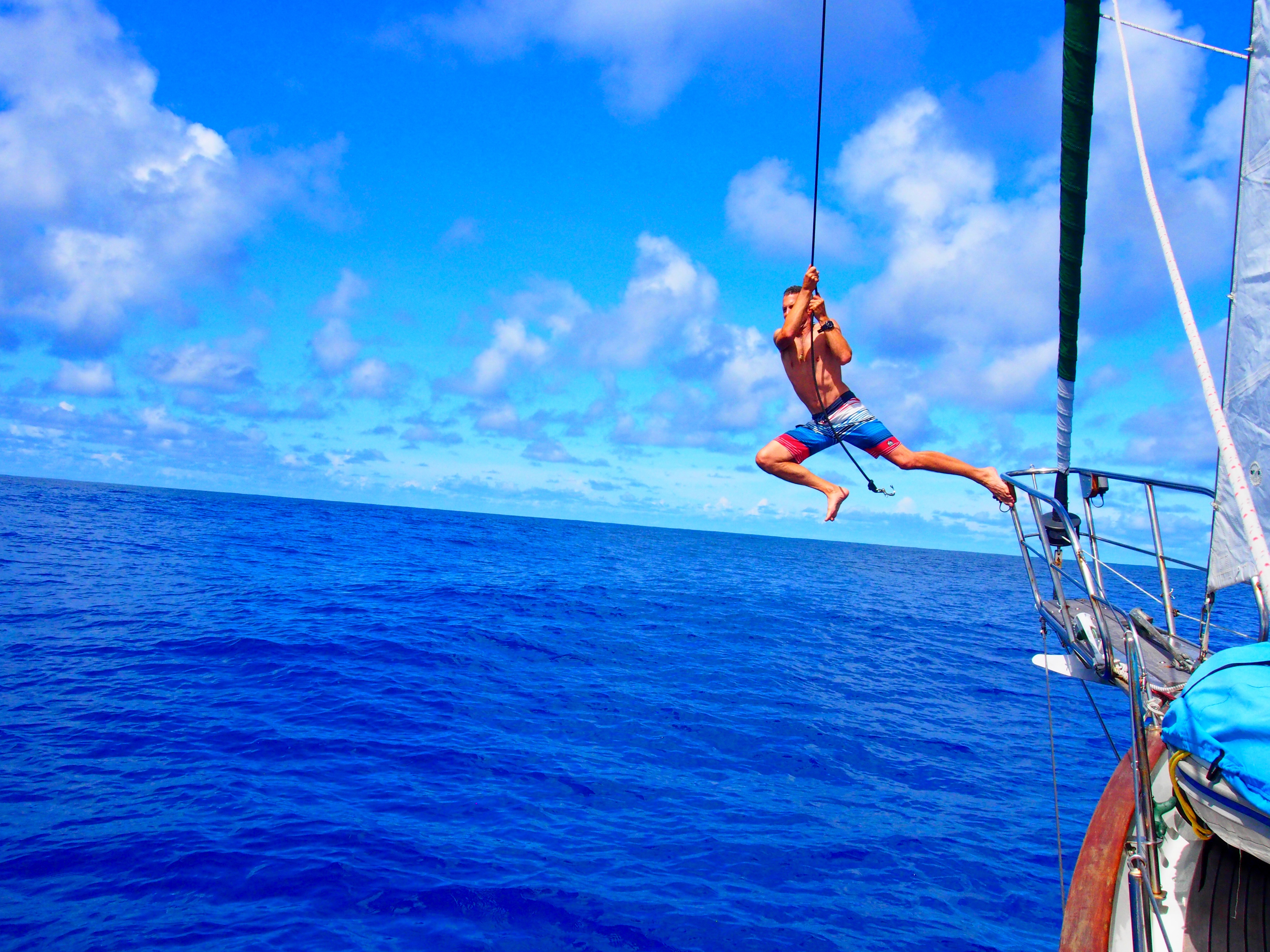
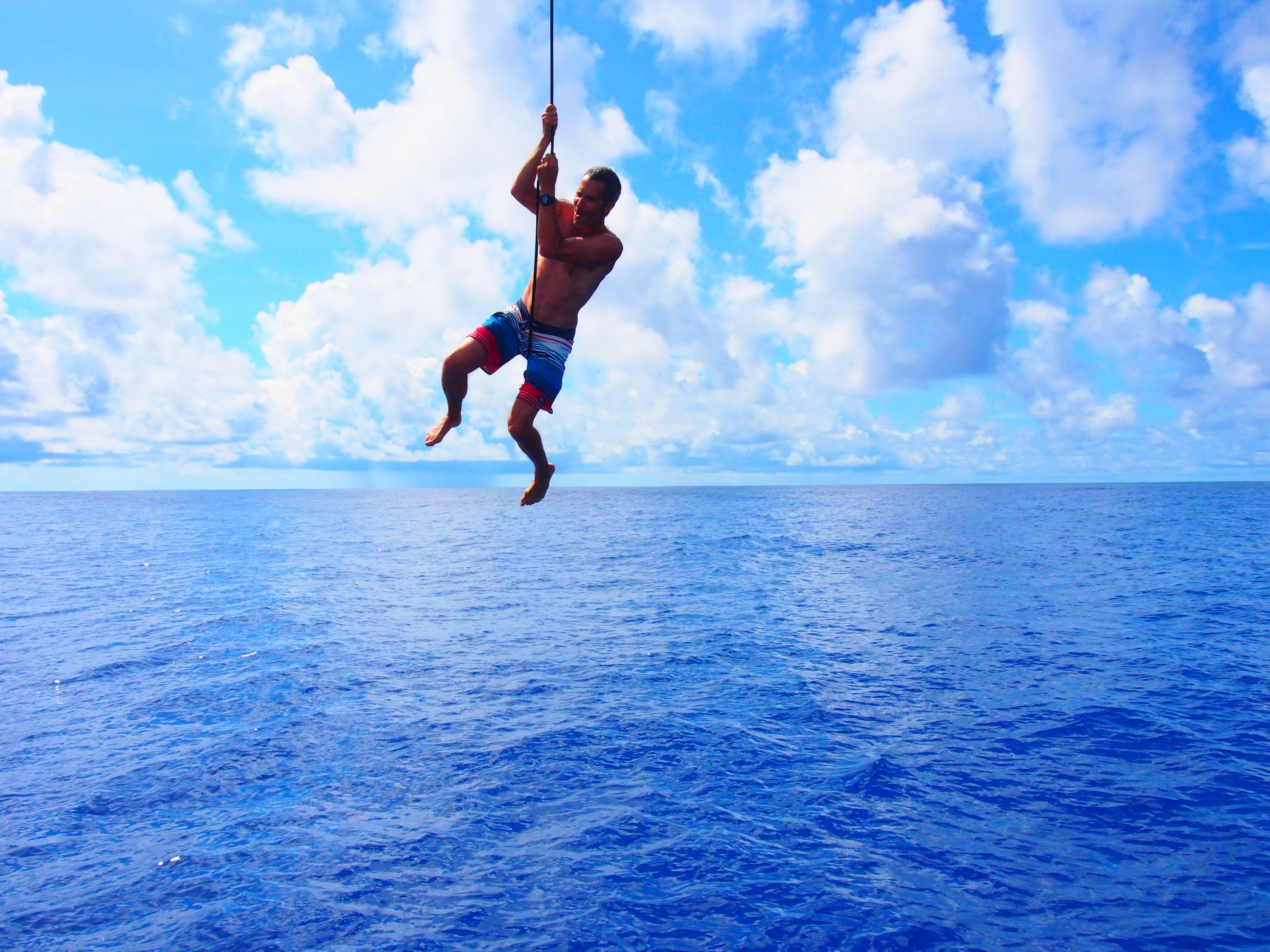
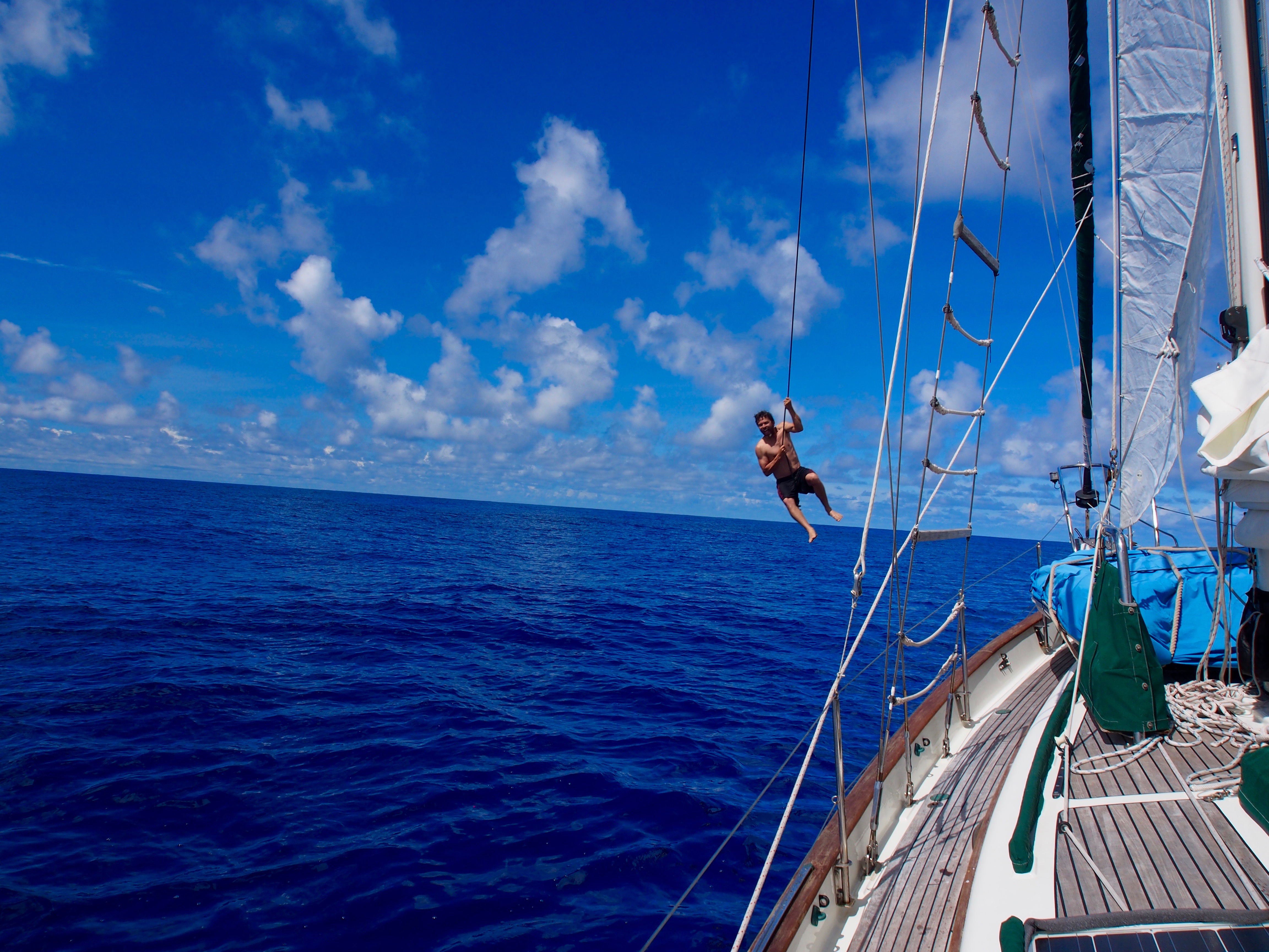
So when a friend offered me a crew position aboard his new Catamaran, I jumped at the opportunity.
That friend, Mike, did pretty much the same exact thing 3 years ago–he crewed on a boat from Panama to the Marquesan Islands aboard a new Outremer performance catamaran. Then he decided to order one for himself. Getting a new Outremer is no fast & easy task. The French-built vessels are in high demand and there is a waiting list just to get started. Fast forward to today, and Mike has taken delivery of his Outremer 45 in La Grande-Motte, France, sailed her for a few months in the Med, crossed the Atlantic, sailed through the Caribbean, and (as I write this) is currently on a passage between Bonaire and Colon, Panama. In 5 days, I fly to Panama to join him.
Our plan is to transit the canal, then sail to the Marquesas with a stop along the way in the Galapagos Islands.
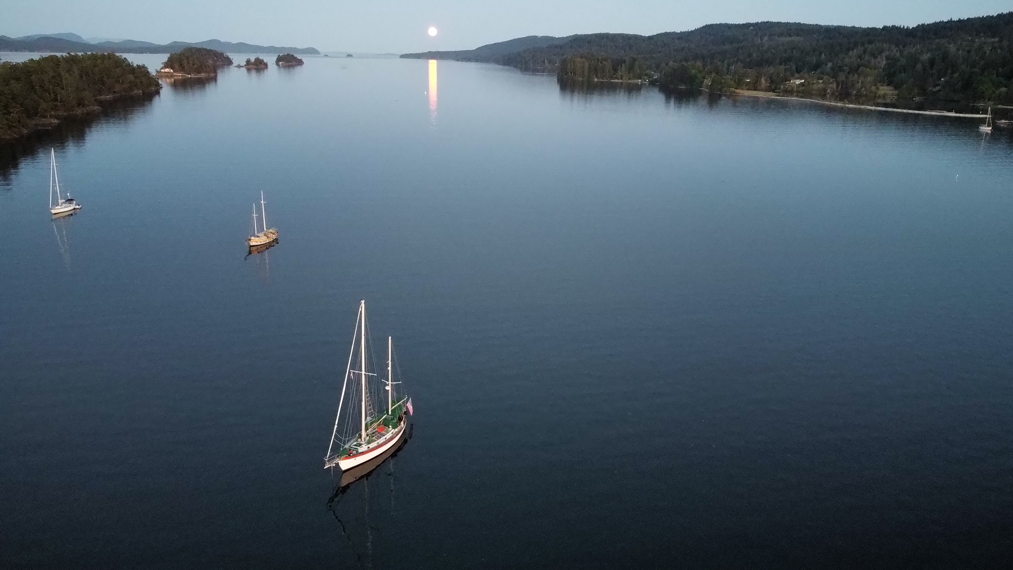
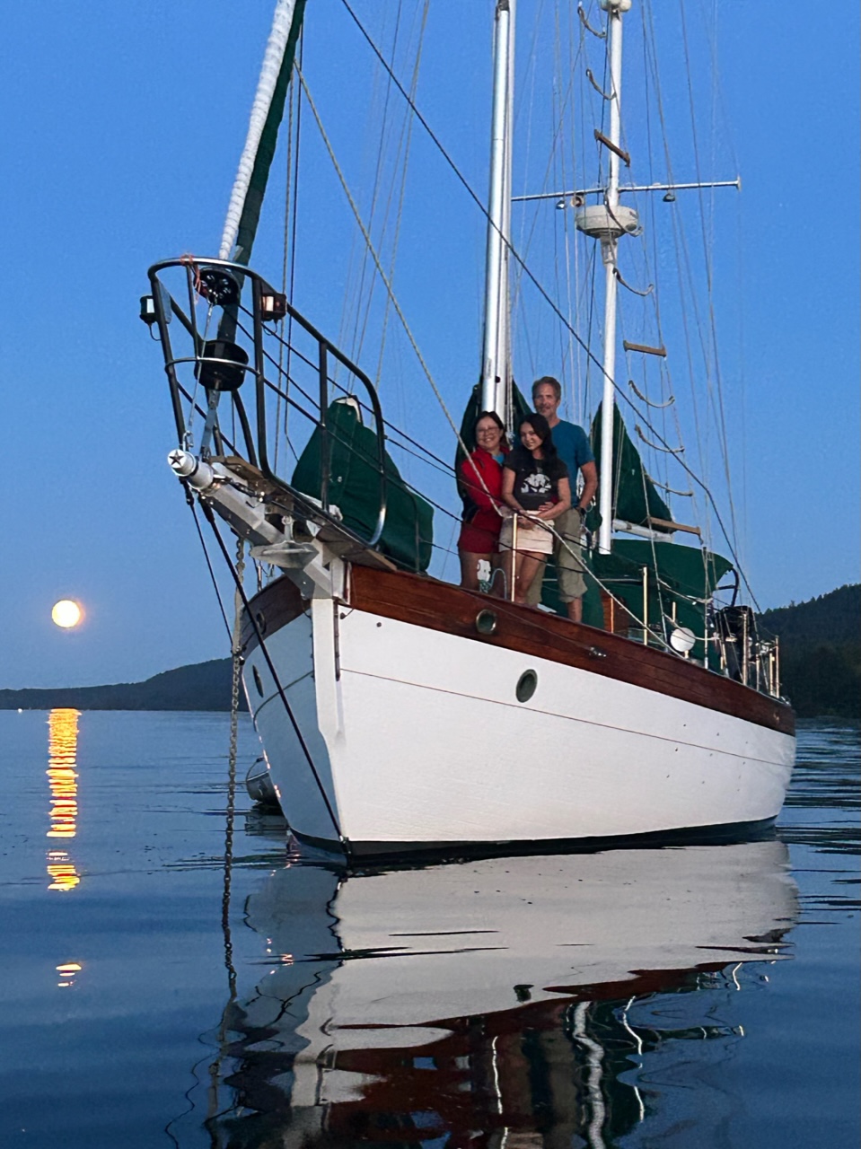
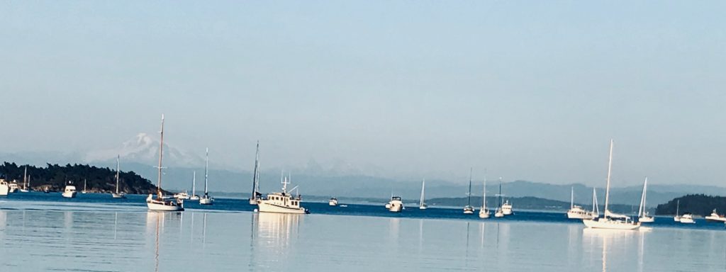
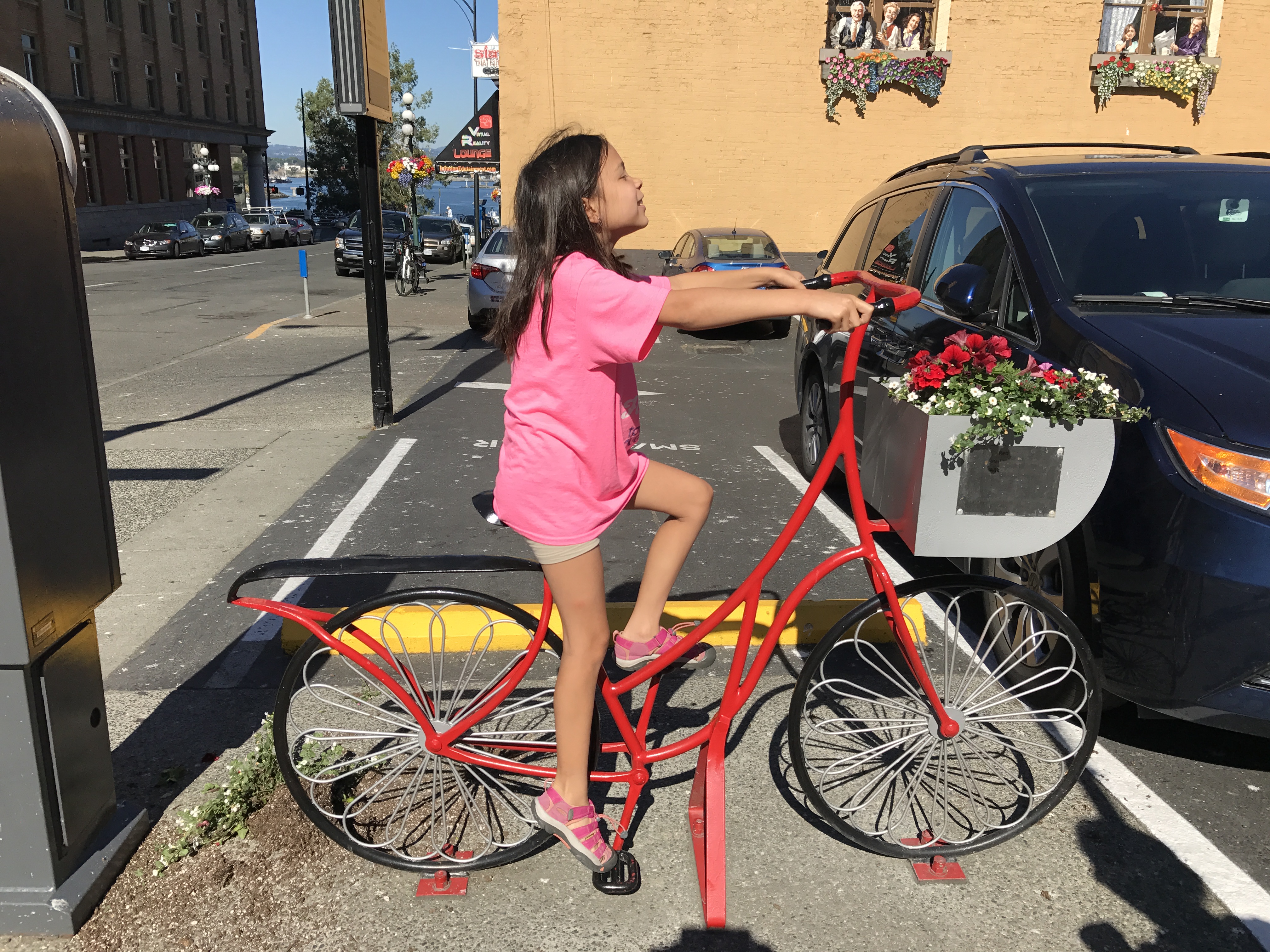
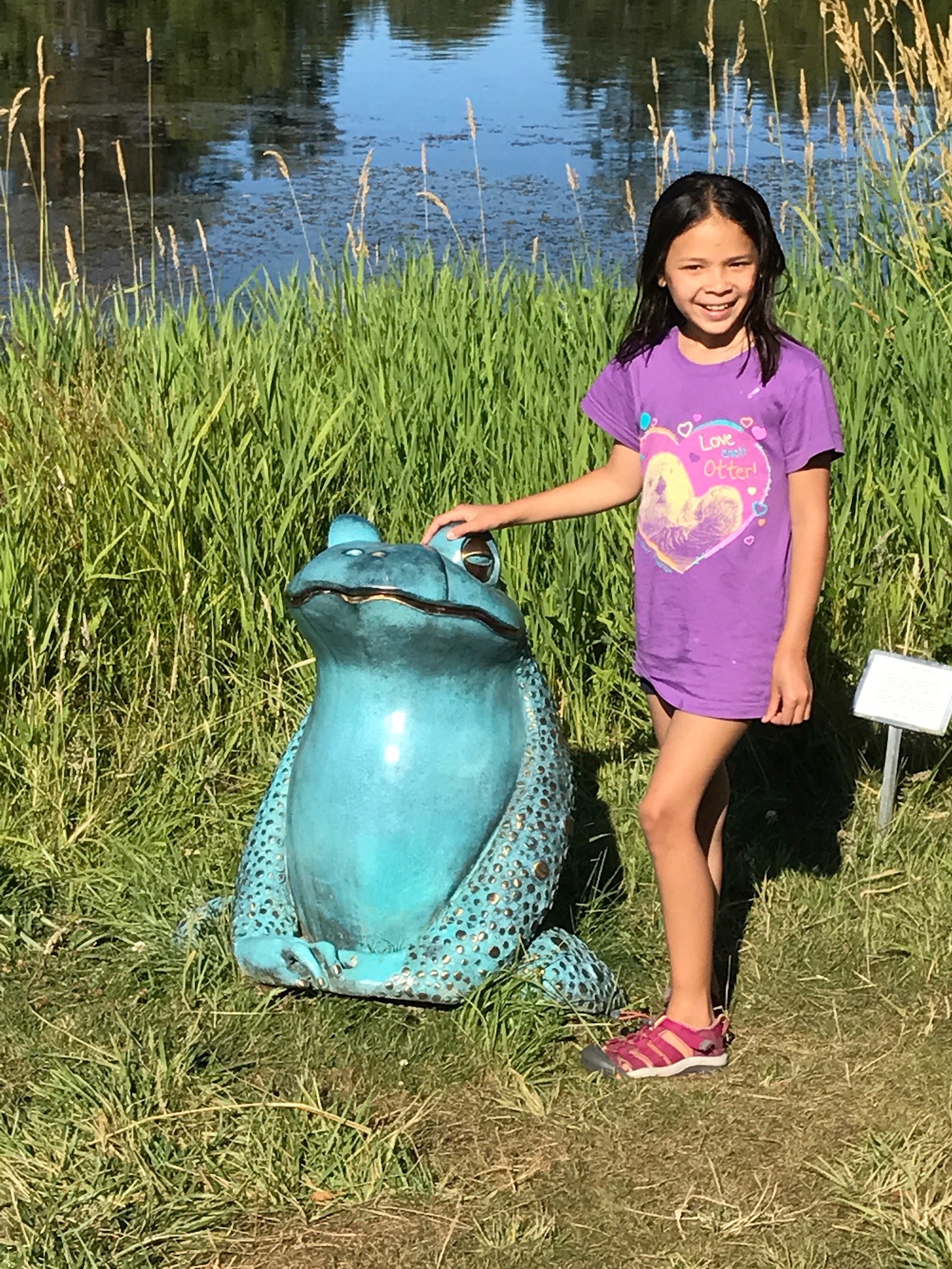
Pictures from our 20-day trip to the San Juan and Gulf Islands.
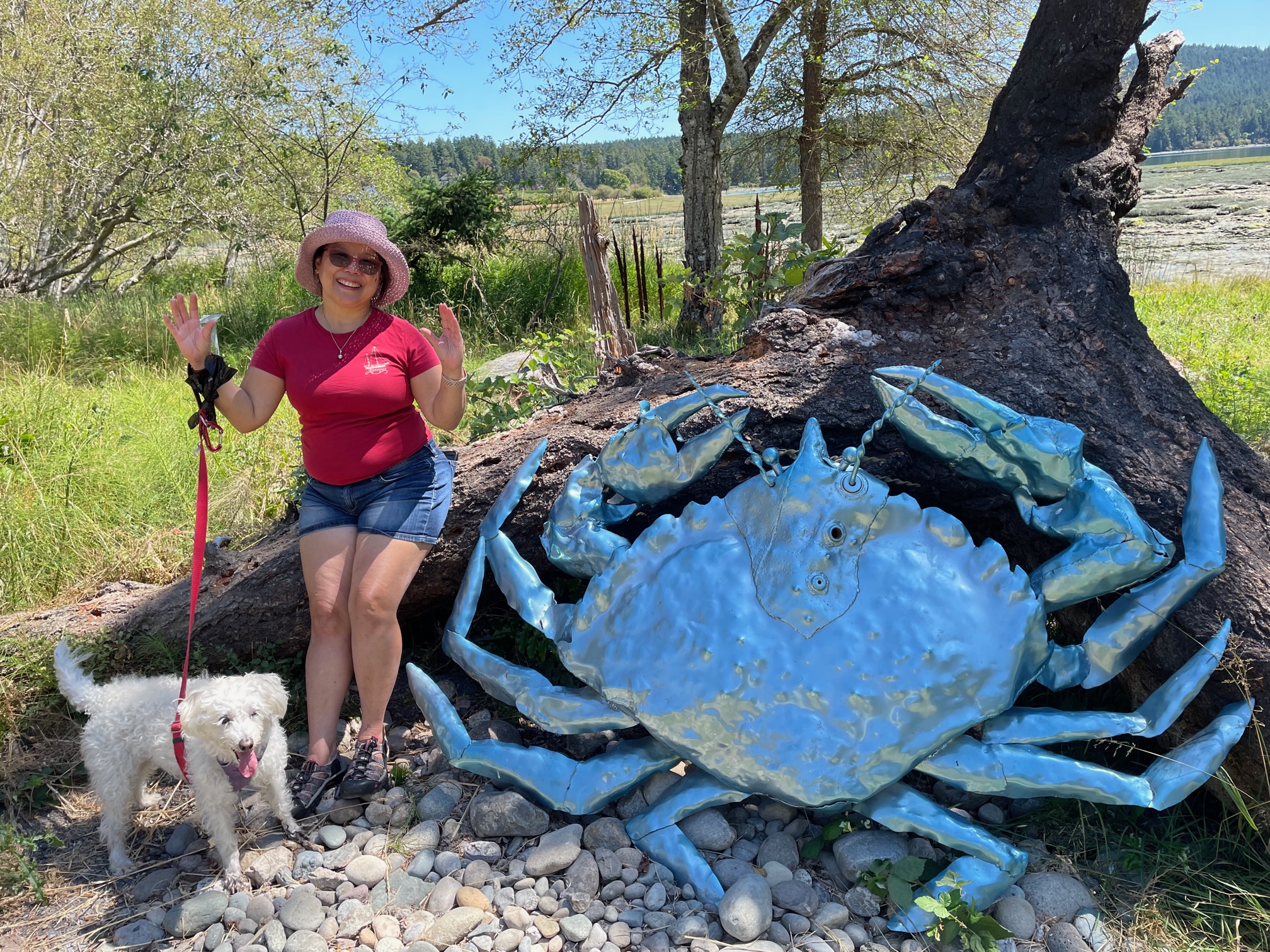
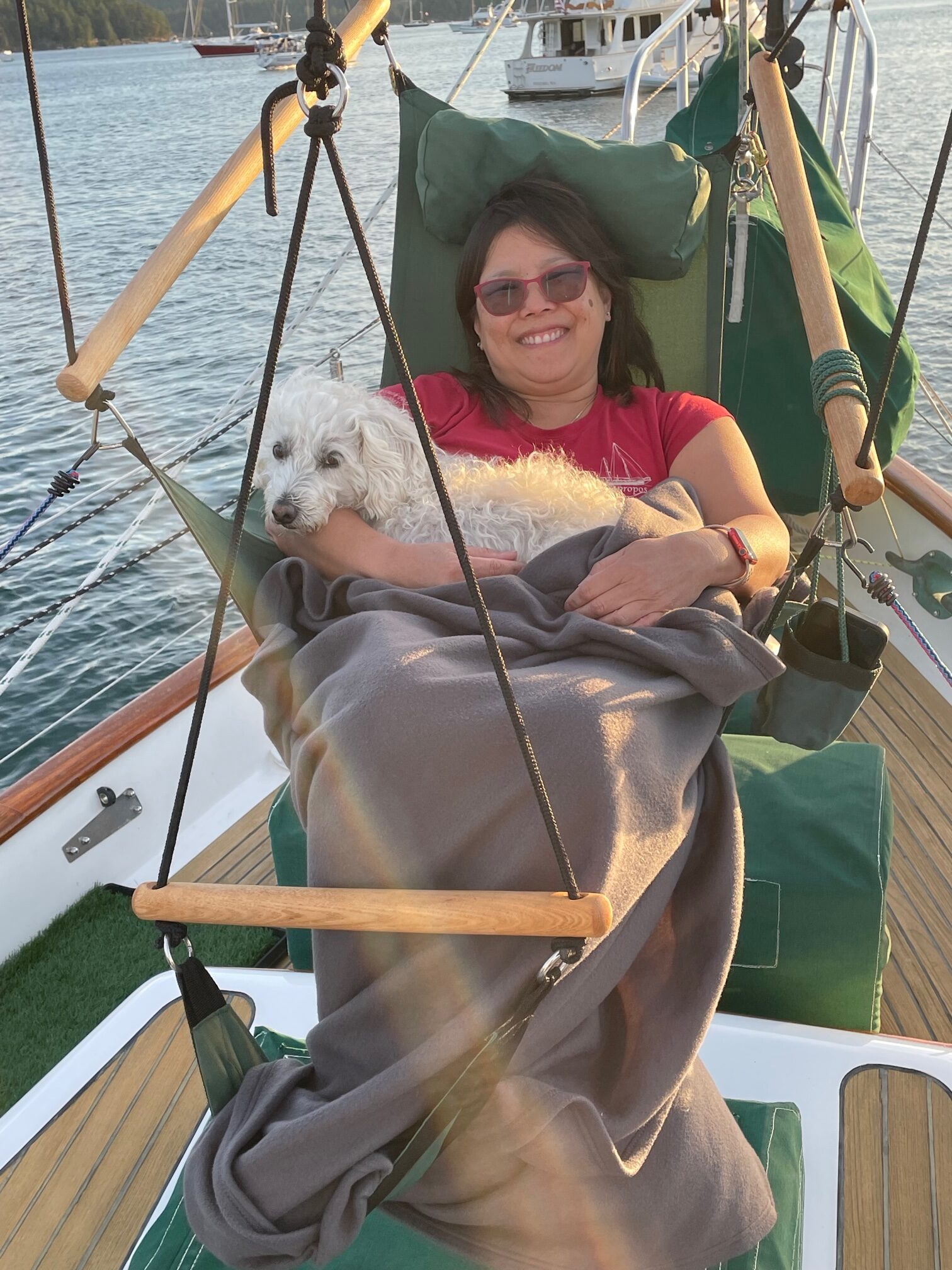
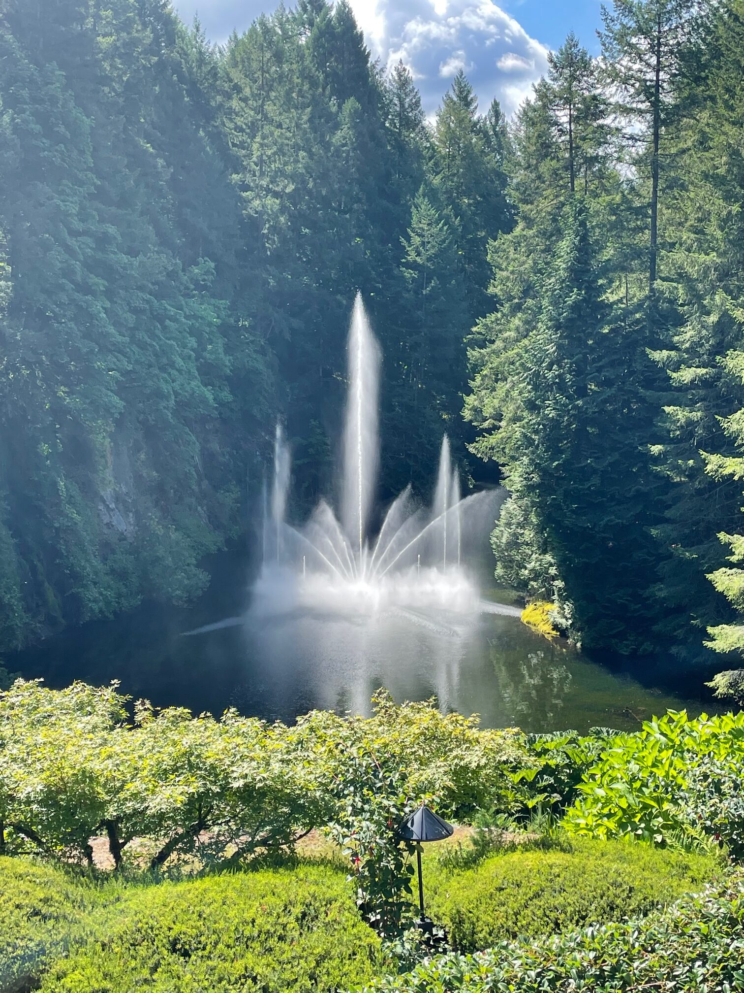
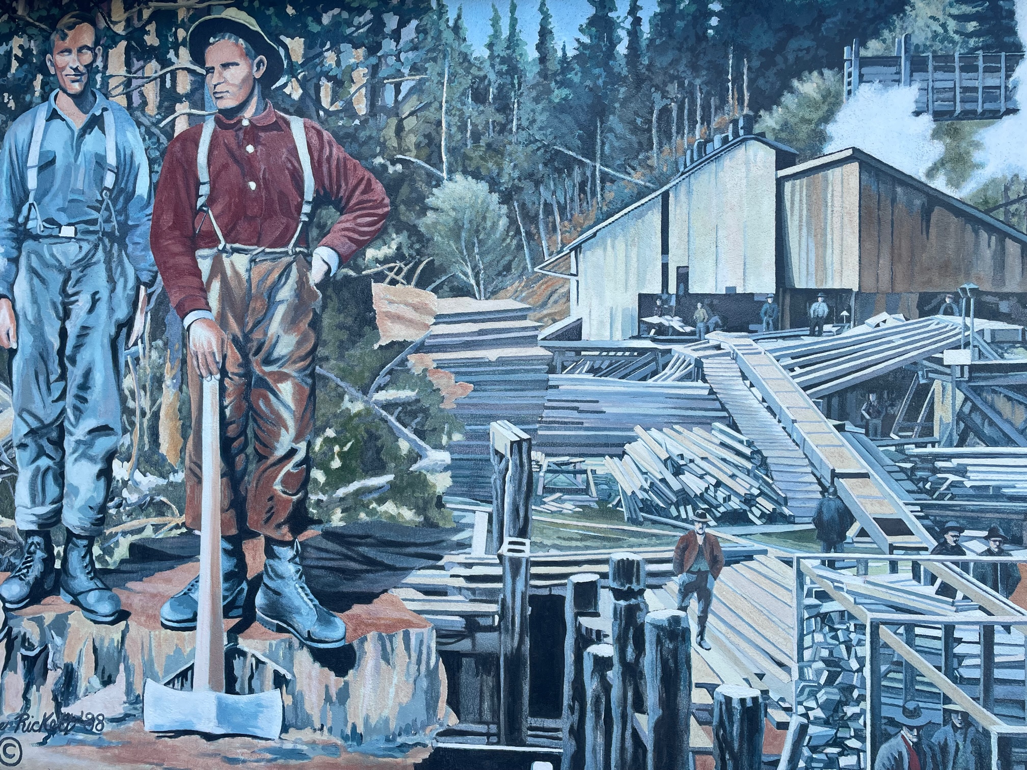
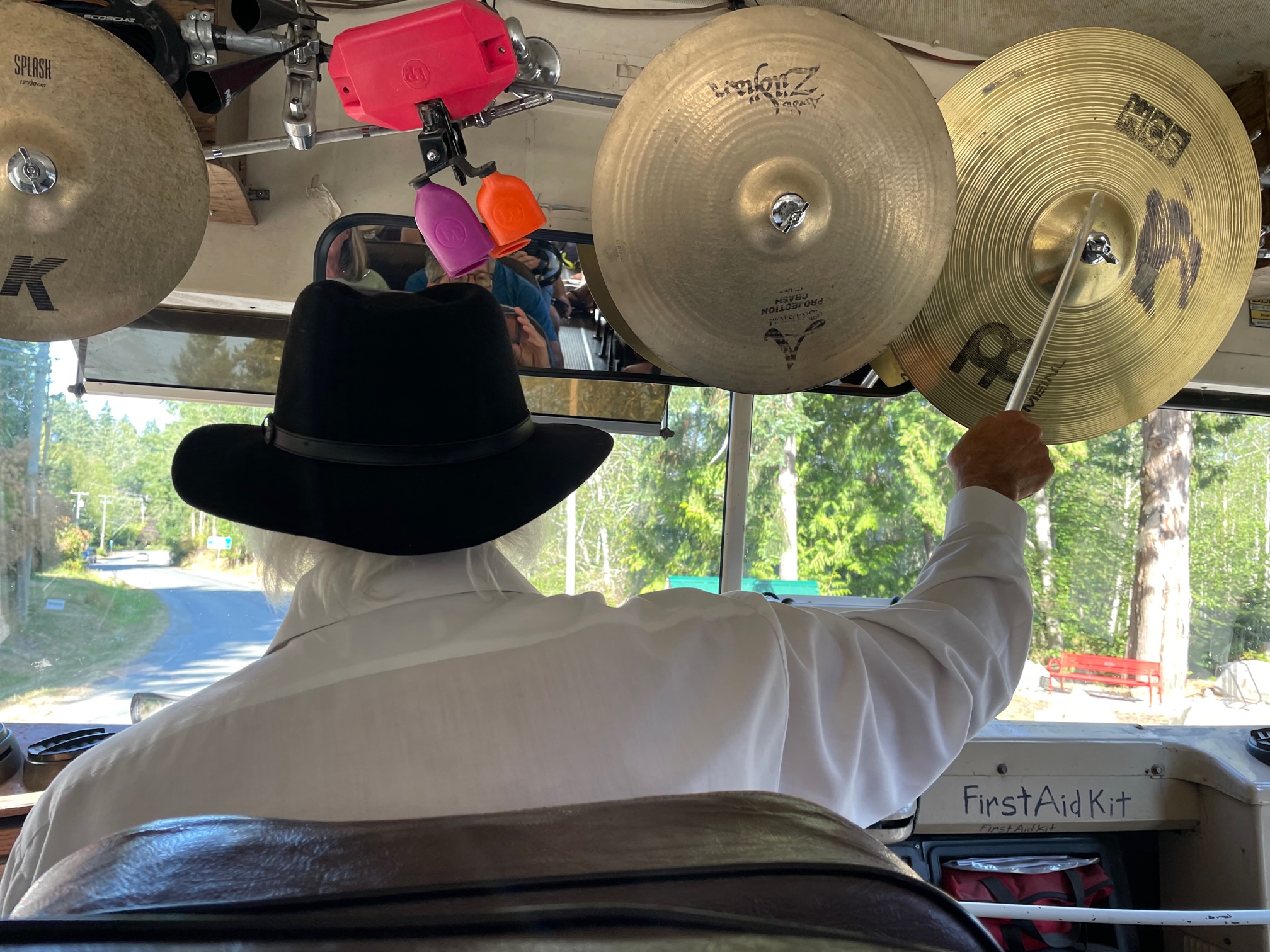
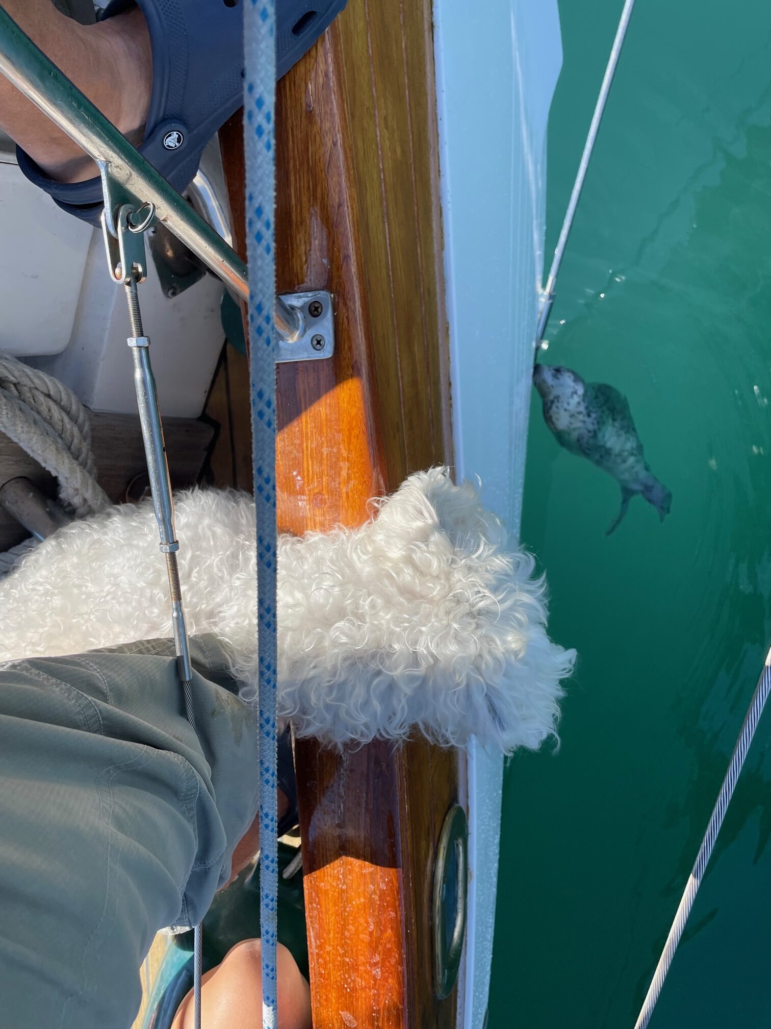
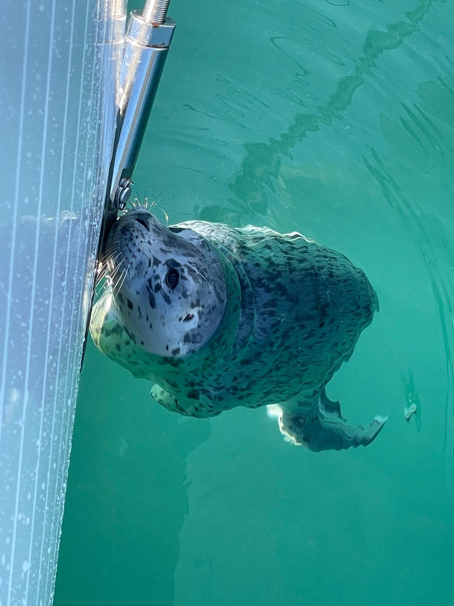
Ganges Harbor on Salt Spring IslandFull Moon at AnchorageChamp RelaxingNorth Pender Island AnchorageSailing Down Salish SeaSculptor Park near Roche HarborRelaxing at Westcott Bay, San Juan IslandButchart Gardens, Vancouver IslandButchart GardensChemainus Wall Mural on Vancouver IslandBus to Hummingbird Cafe on Galiano IslandStuart Island AnchorageCurious Seal in Prevost Harbor AnchorageChamp
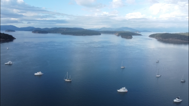
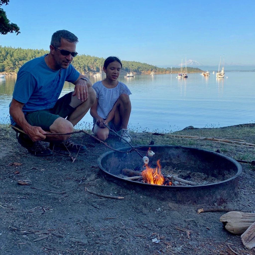
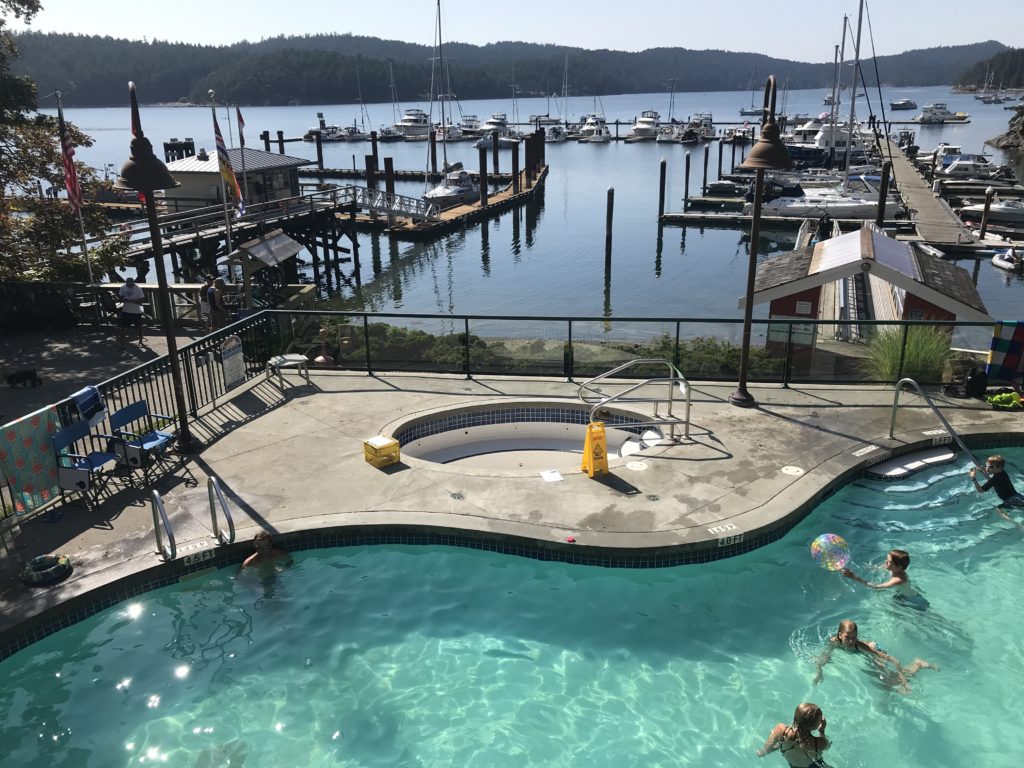
We had 2 full weeks for out boat trip this year, and decided to spend it in the beautiful San Juan Islands. Normally we’d go further north with that much time, but due to Covid-19 border closures, we decided to slow down and visit some new anchorages and stay longer in some places.
During the trip, we anchored at James Island, Sucia Island, San Juan Island (Roche Harbor, Wescott Bay, and Friday Harbor), Stuart Island, Shaw Island (Blind Bay), and Lopez Island (Hunter Bay). On the way to and from the San Juan’s, we anchored at Port Townsend and Kingston. Overall, the anchorages were pretty crowded due to the Canadian border closure.
Here are some pictures:
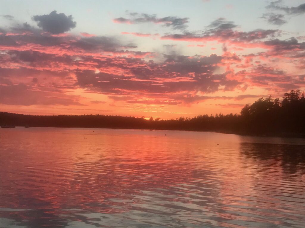
Sunset from Wescott Bay
At Port Townsend
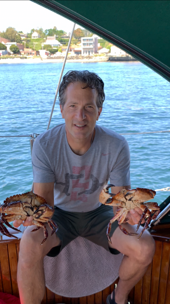
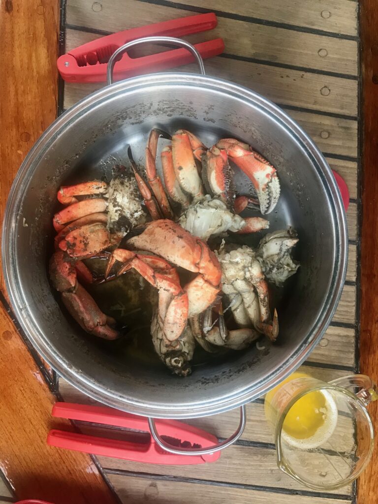
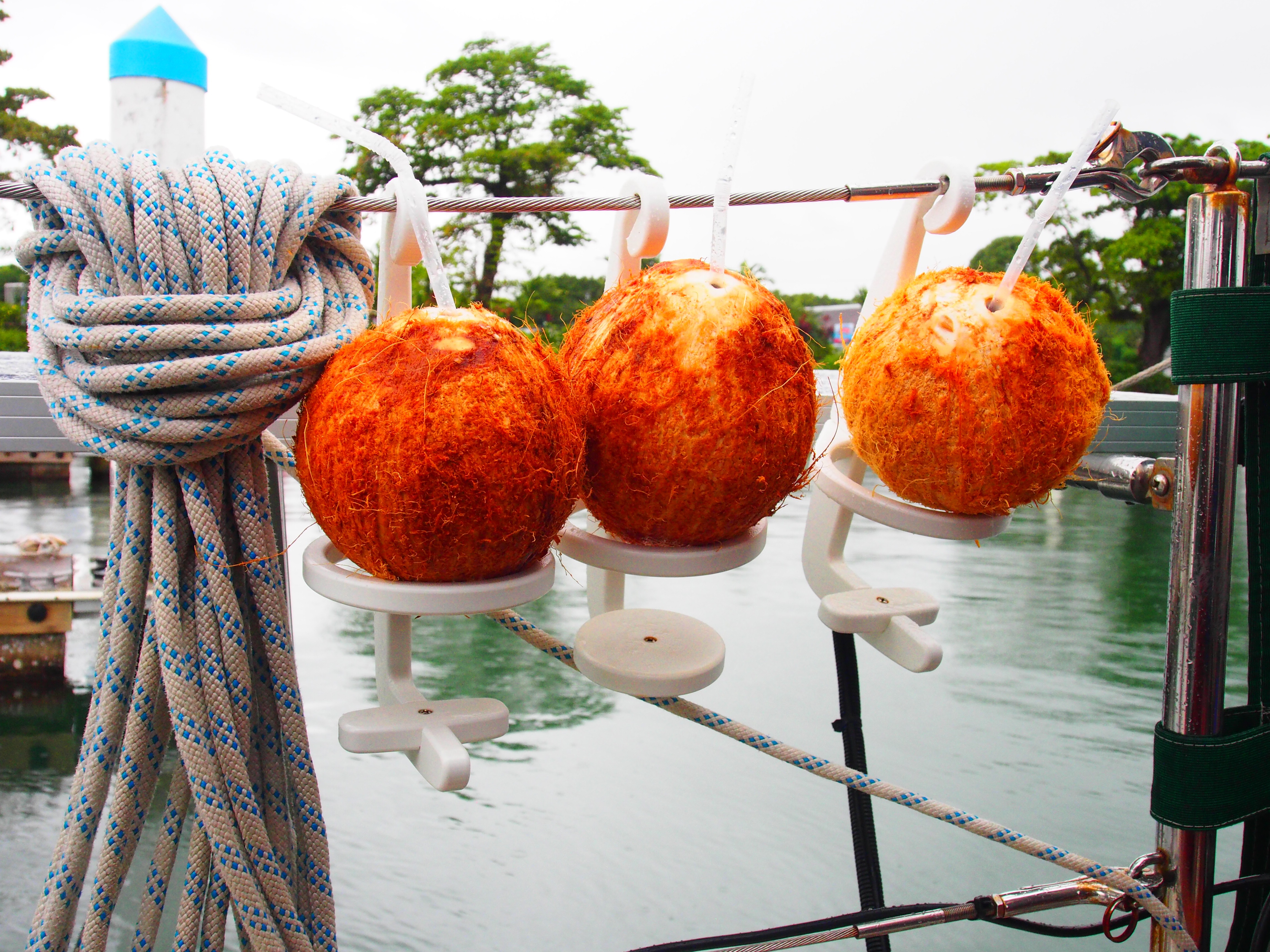
Fresh Dungeness crab
Walking around Blind Island
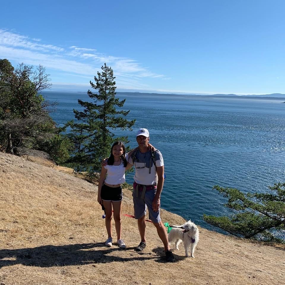
Hiking on Stuart Island
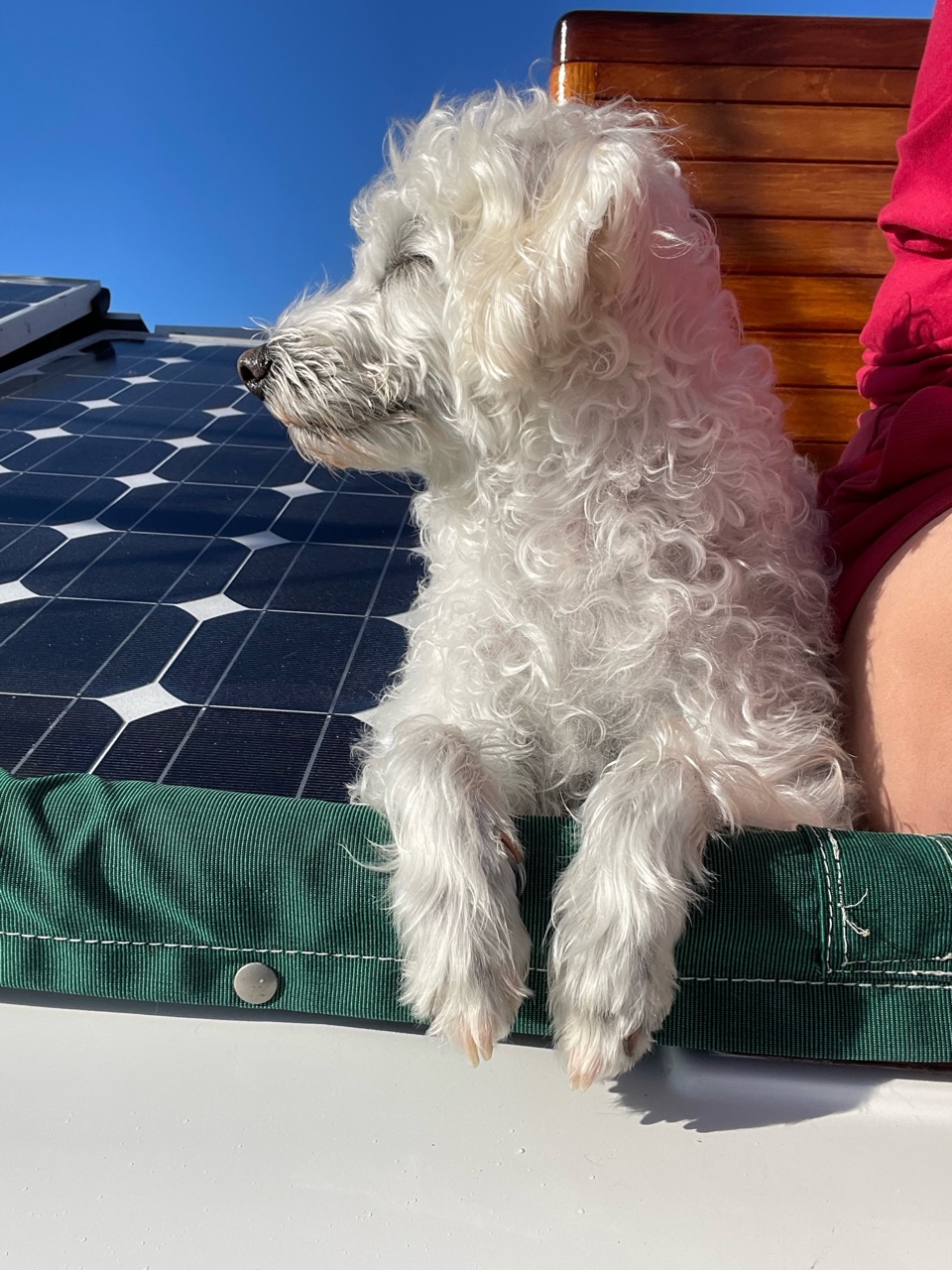
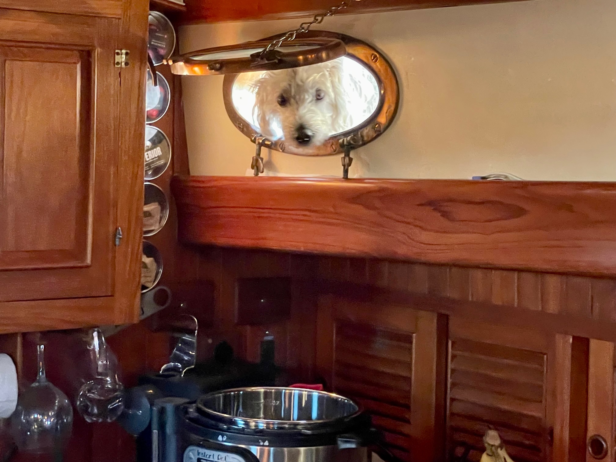
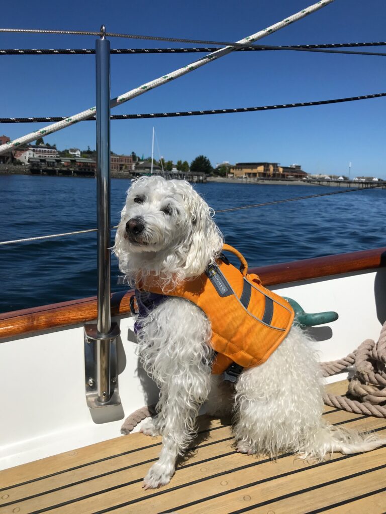
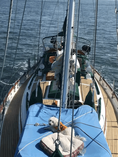
Boat dog Champ
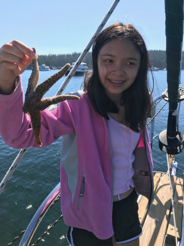
Starfish
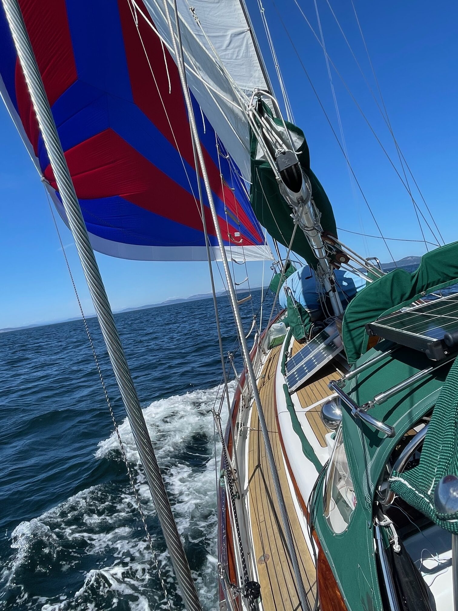
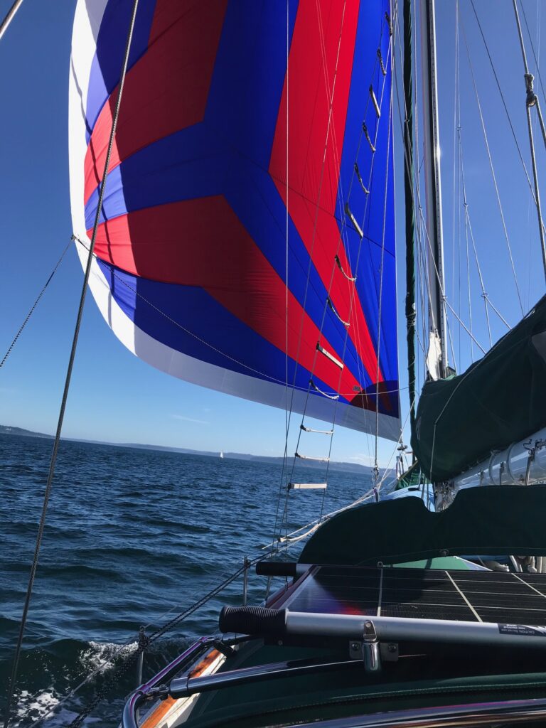
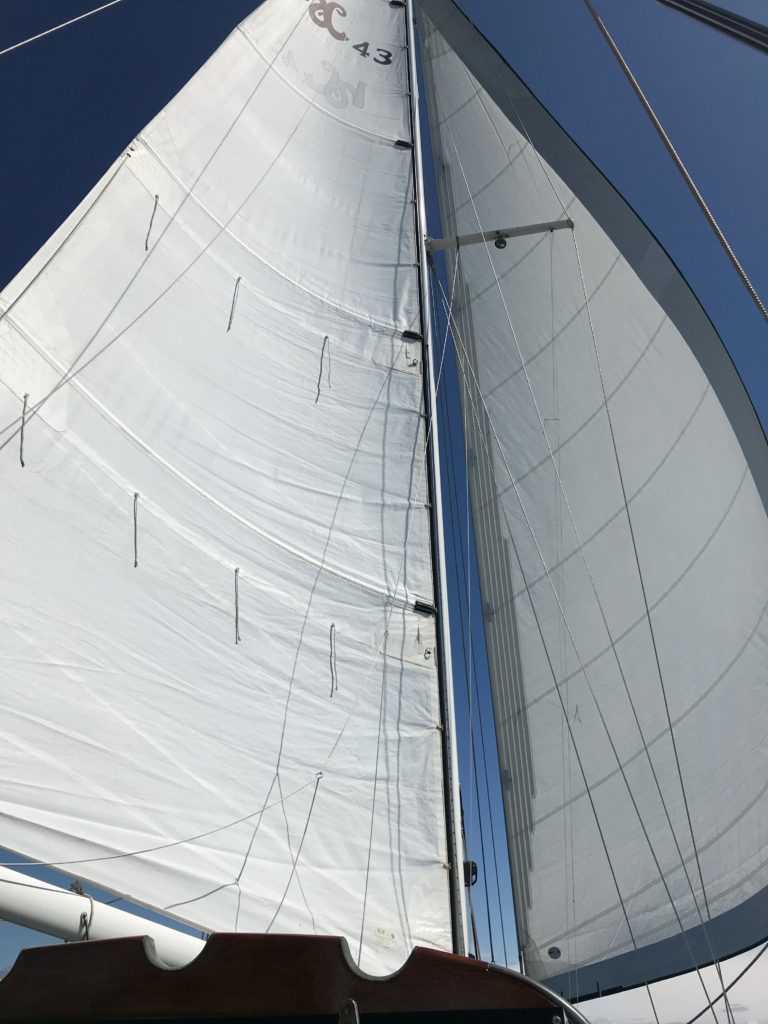
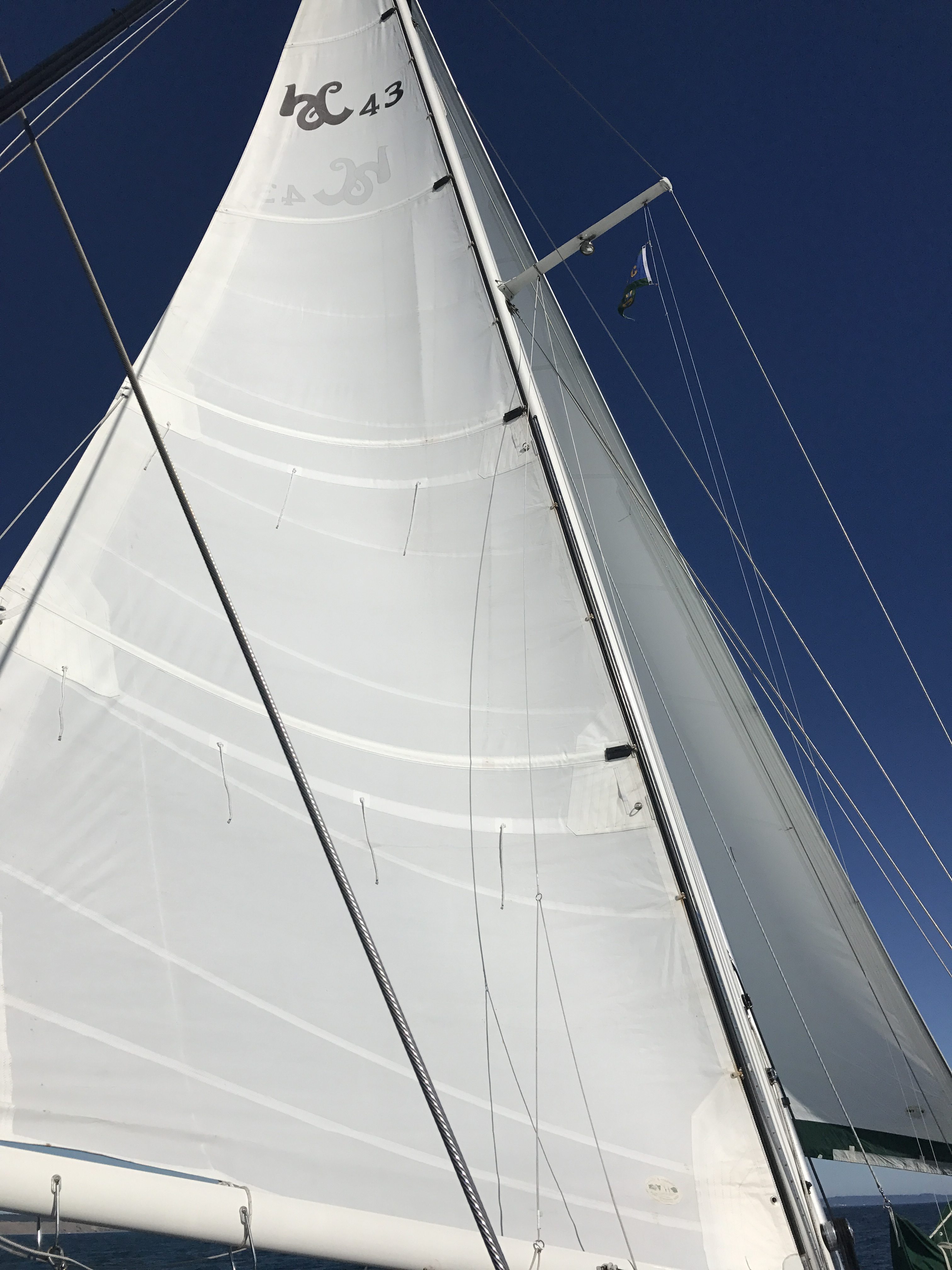
Code Zero sail
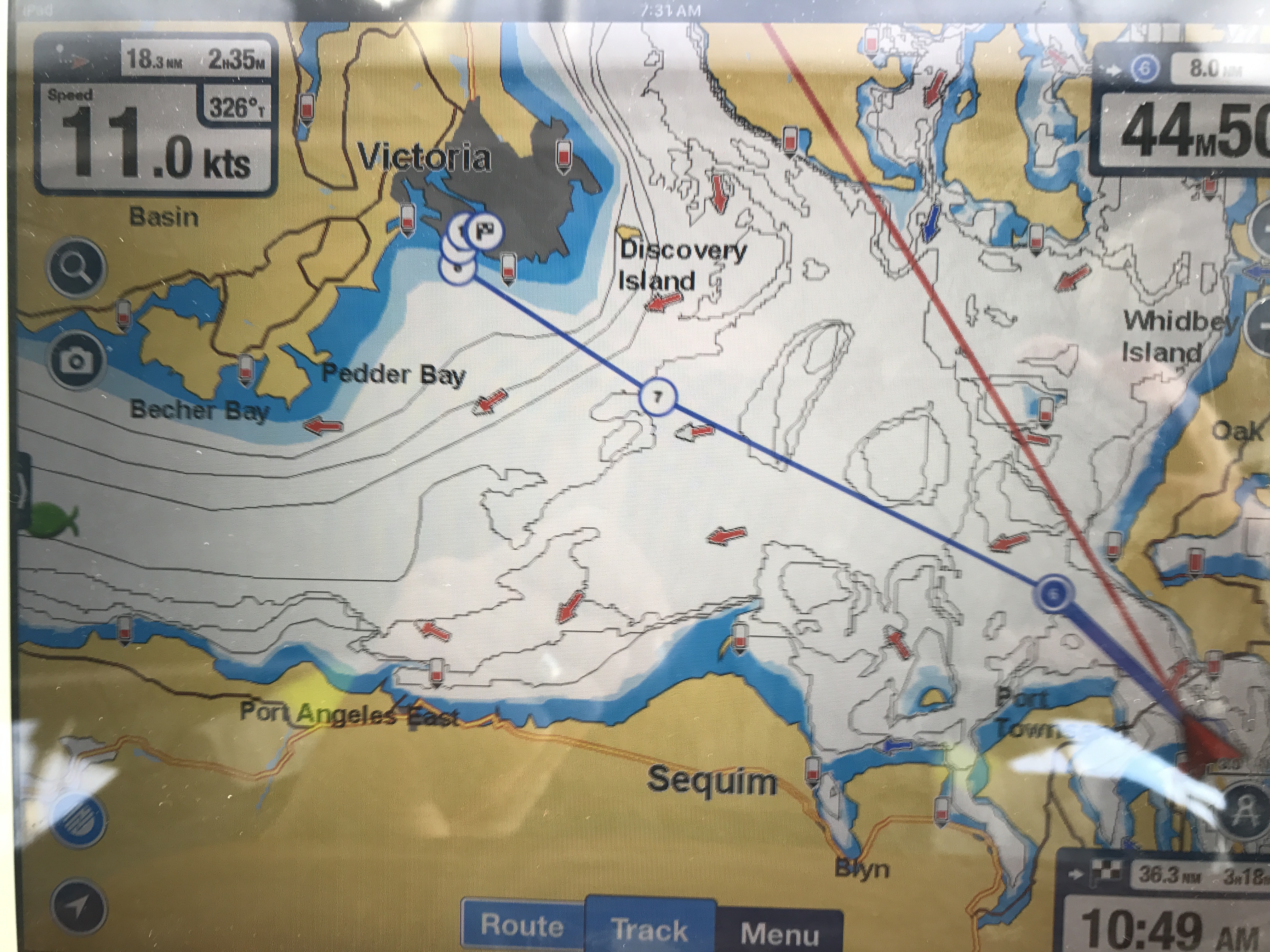
10 knots!
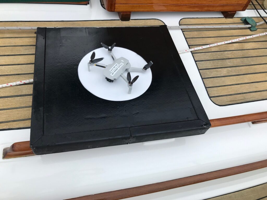
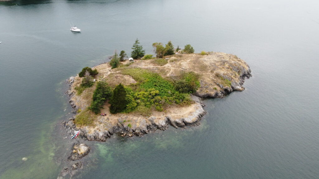
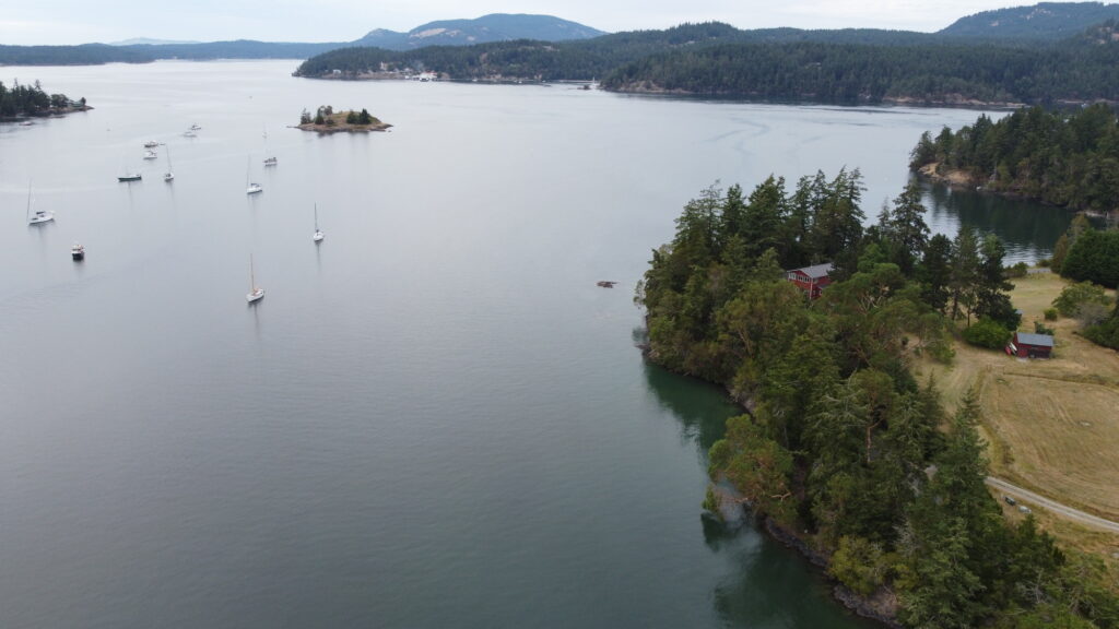
I flew my Mavic drone at some of the anchorages for a different view from the air:
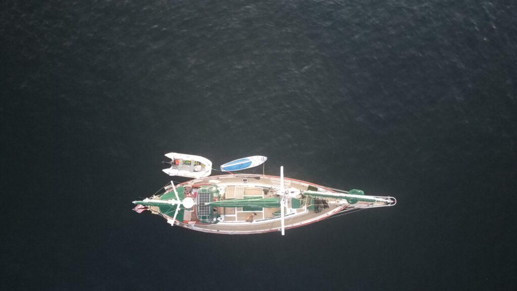
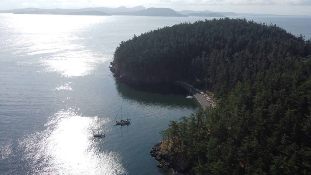
Mavic Mini droneWescott Bay anchorageHunter Bay anchorageBlind Island (off Shaw Island)Blind Bay looking towards Blind IslandDinghy and SUP alongside Apropos James Island anchorage
Here’s a video I put together from drone video and pictures:
We’ve been cruising the San Juan Islands for 15 years, and usually go to the same 5 or 6 places. Having more time, this trip allowed us to explore new anchorages and we found some (Hunter Bay, Wescott Bay, James Island) that we really liked and will return to. The slow pace was good for a change and I enjoyed getting up early, making coffee, and reading in the swing chair for a few hours in the morning. Crabbing was pretty good and we caught 9 Red Rock and Dungeness crabs at various anchorages. They made for some delicious meals. Our dog Champ finally learned that it was ok to relieve himself on the green grass carpet we bring along. On previous trips we would have to go ashore for those tasks, sometimes at odd hours. The weather was great–mostly sunny and warm. There were only 2 days that were cloudy with some rain.
The Bad:
Well, there were a few things that went wrong. The biggest was that we discovered our house AGM battery bank was toast. This went unnoticed during day trips throughout the summer, but when your anchoring for 2 weeks (we plugged in only once while at Roche Harbor), you quickly uncover problems like that. We coped by using the solar panels during the day (and adjusting them to keep them in the sun), and, when needed, using our Honda generator at anchorage. This also forced us to be very frugal with power, so instead of microwave popcorn, we made stove-top popcorn! We also turned off refrigeration during the night-time. I figured we had only about 30 AHrs of usable charge out of our 672 AHr battery bank! Another winter project added to my list…
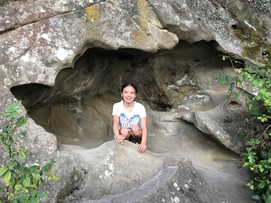
Pictures from an 8-day (3oo nautical miles round trip) sail to the San Juan and Gulf Islands. An overnight stop at Port Townsend was followed by mostly motoring across a flat Strait of Juan de Fuca. We did a big counter clockwise loop with stops in Sucia Island, South Pender Island, Piers Island, and San Juan Island. We made the return trip from Roche Harbor to Lake Union in 14 hours by waking up at 5am to ride an ebb tide down Haro Strait and into Jaun de Fuca Strait, then hitting Port Townsend and Admiralty Inlet at max flood. We reached Kingston at 4pm so decided to keep going since we had 3 sails up on a broad reach, sailing wing on wing with the Genoa and Mizzen sails to starboard, and Mains’l to port.
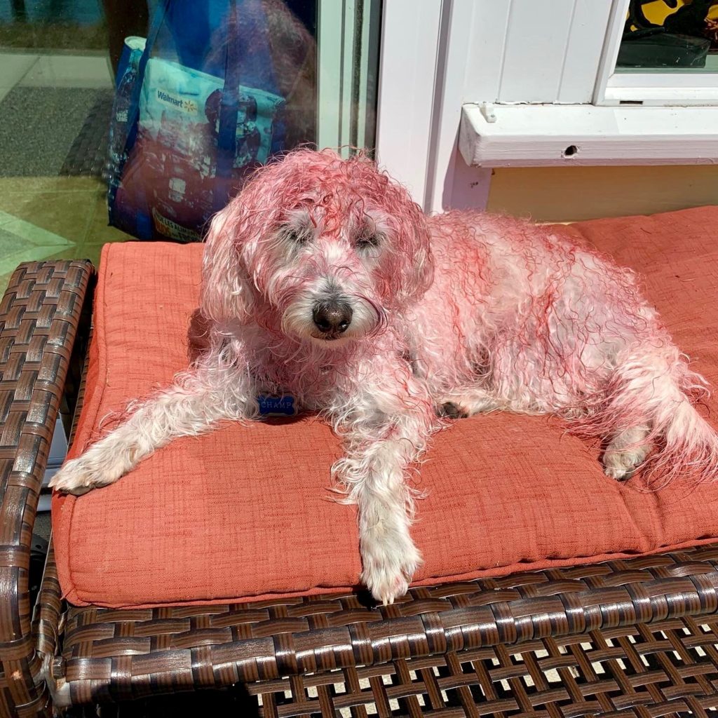
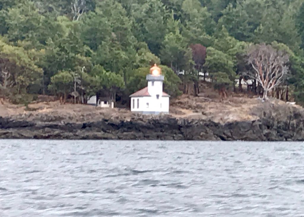
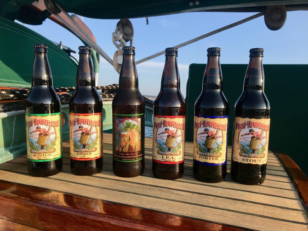
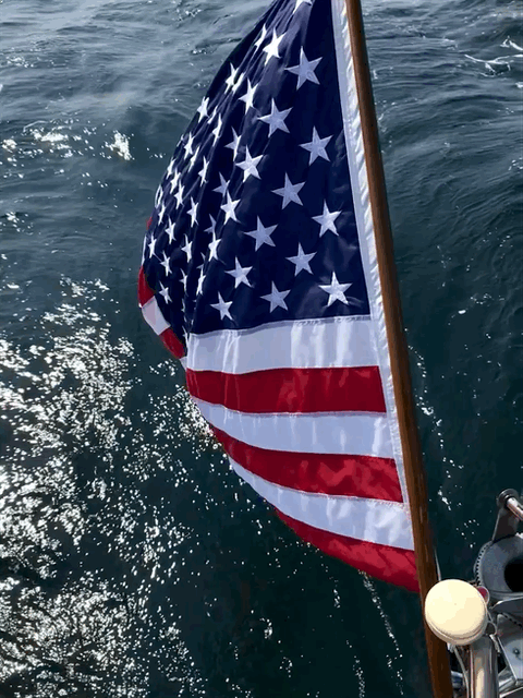
Anchored at Port TownsendMt. Baker from Rosario StraitSucia Island anchorageToasting marshmallows on Sucia IslandChamps favorite place on passagesExploring limestone caves on Sucia IslandUsing the pool at Poet’s Cove (South Pender Island, BC)Champ got dyed with blackberry juice while on Piers Island, BC (credit Jacintha, Billy, and Gracie)Roche Harbor, San Juan IslandLighthouse on San Juan IslandSailing wing-on-wingPort Townsend BreweryStern flag
We took a 1-week trip up to the Canadian Gulf Islands earlier this summer. An early morning (4am) departure from Kingston marina put us at Admiralty Inlet at max ebb under motor, so we were getting a 5 knot boost from the current and moving at 10-12 knots. That was great until we entered the straits, where the wind picked up to about 10 knots out of the north. Even a light wind blowing against a 5 knot current can create short-period, extremely steep waves. We went from a smooth 10 knots to a very uncomfortable 5 knots bucking into 10′ waves. After about 30 minutes of this (enough time for some crew seasickness to set it), we got far enough into the Strait of Juan de Fuca (living up to it’s nickname Strait of Wanna Puke-up) for the ebb current to subside and the wind shifted enough to the west that we sailed most of the way to Victoria.
Sailing in the Strait of Juan de Fuca
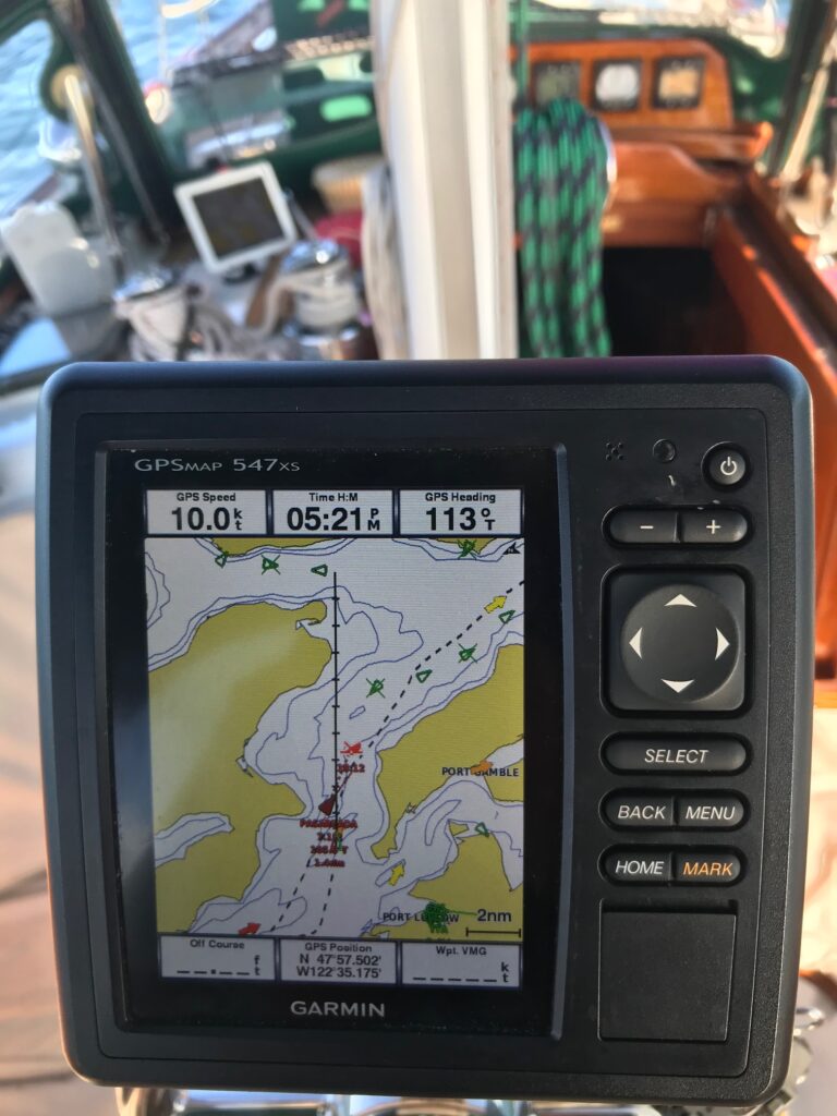
Chartplotter showing 11 knot speed in Admiralty Inlet
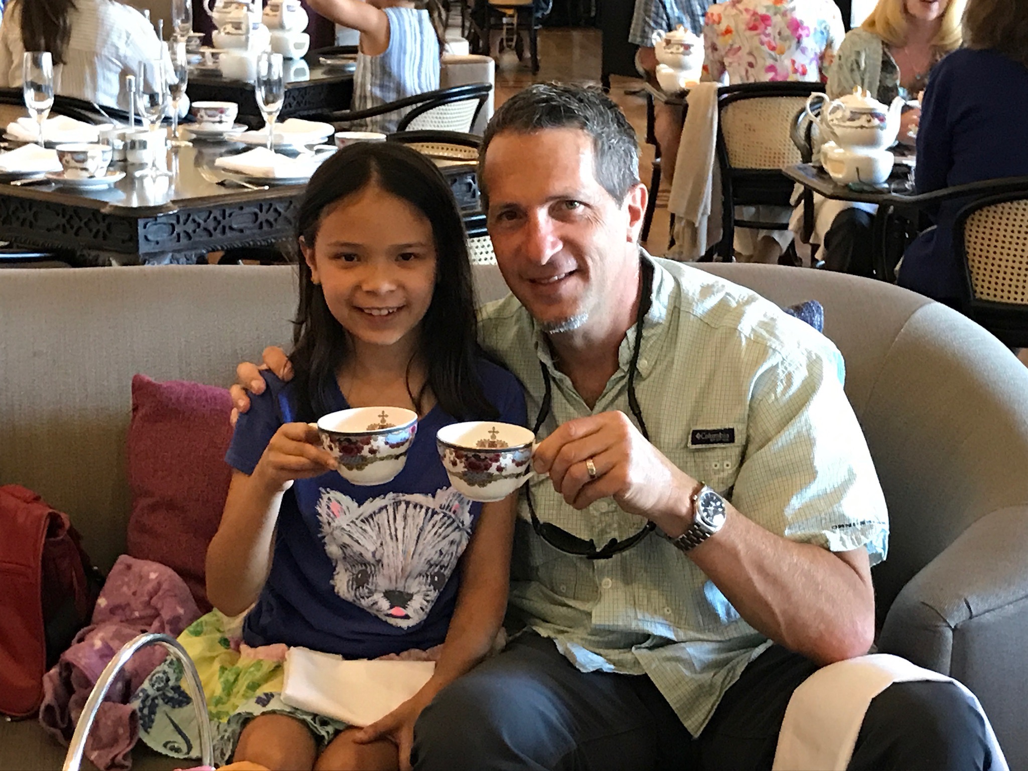
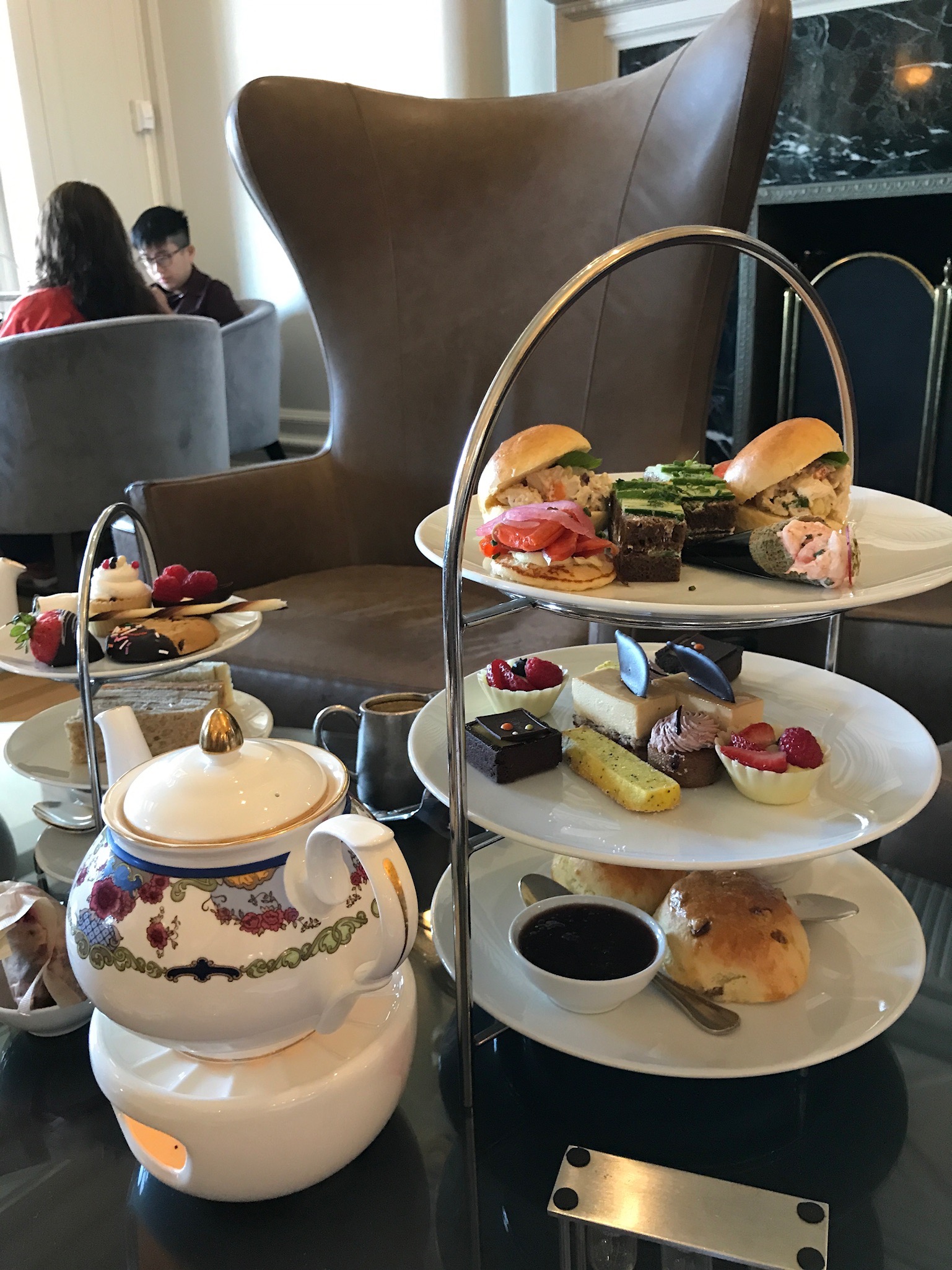
Clearing into Victoria was easier than last time we were here (over 5 years ago). The new customs dock is located in a nice area away from the busy east bay where it used to be. The dock is now much bigger and has enough room for several big boats to tie up. The phone check-in took 15 minutes, then we were on our way to tie up to the outer side of a long dock just north of the Empress Hotel. Our 2 days in Victoria were spent visiting our friends and fellow Hans Christian owners Lance and Carol, having afternoon tea at the Empress, and eating at some nice waterfront restaurants. Top on our list was a Fish -n Chips stand next to the marina that seemed to have an hour-long line any time of day, and it was well worth the wait.
Afternoon Tea at The Empress Hotel
Tea, Scones, and Sandwiches
Downtown Victoria
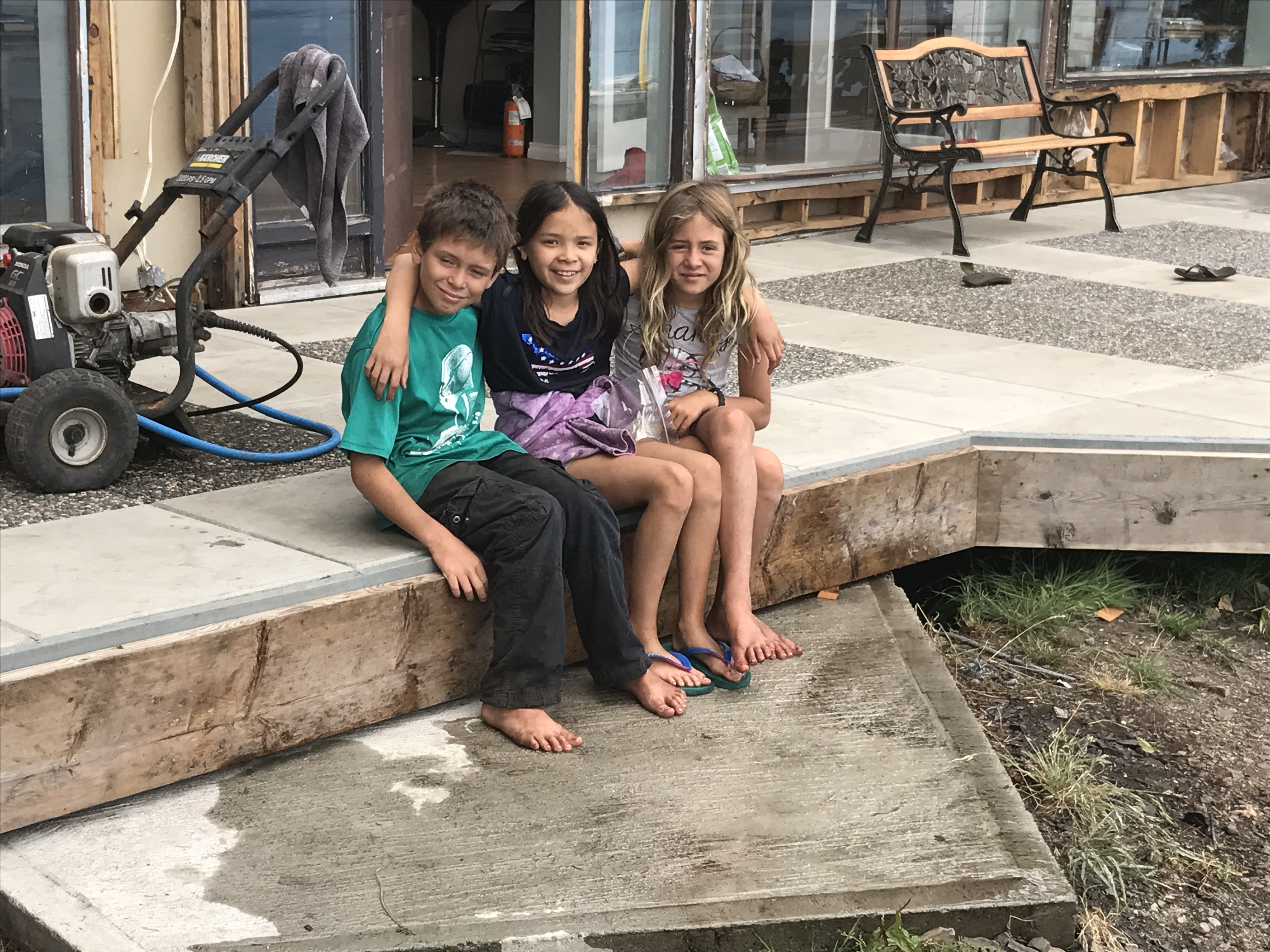
Our next stop was a short 3 hour sail north to Piers Island to visit the crew of Seahorse V, a cruising family we first met during the Baja-Haha rally in 2015, and shared a few anchorages with in various Mexico harbors. We tied Apropos up to their private dock with a nice aluminum ramp leading to their waterfront house. Jacintha was happy to see Billy and Gracie, and it was great to catch up with Cap’n Steve and Tina, whose boat is currently in the Caribbean (just outside the hurricane belt, thankfully).
Hanging out with friends on Piers Island
Cap’n Steve built his own dock ramp in front of his house on Piers Island
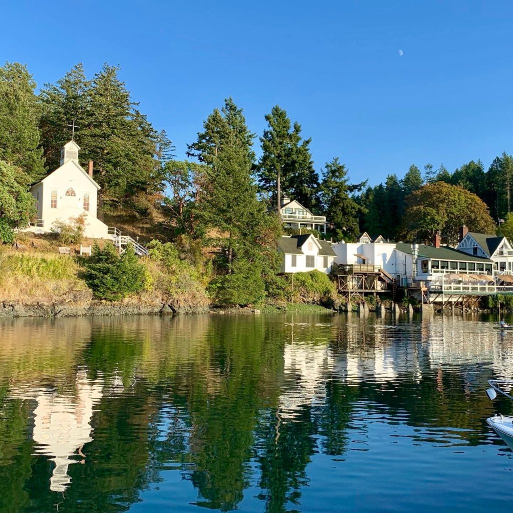
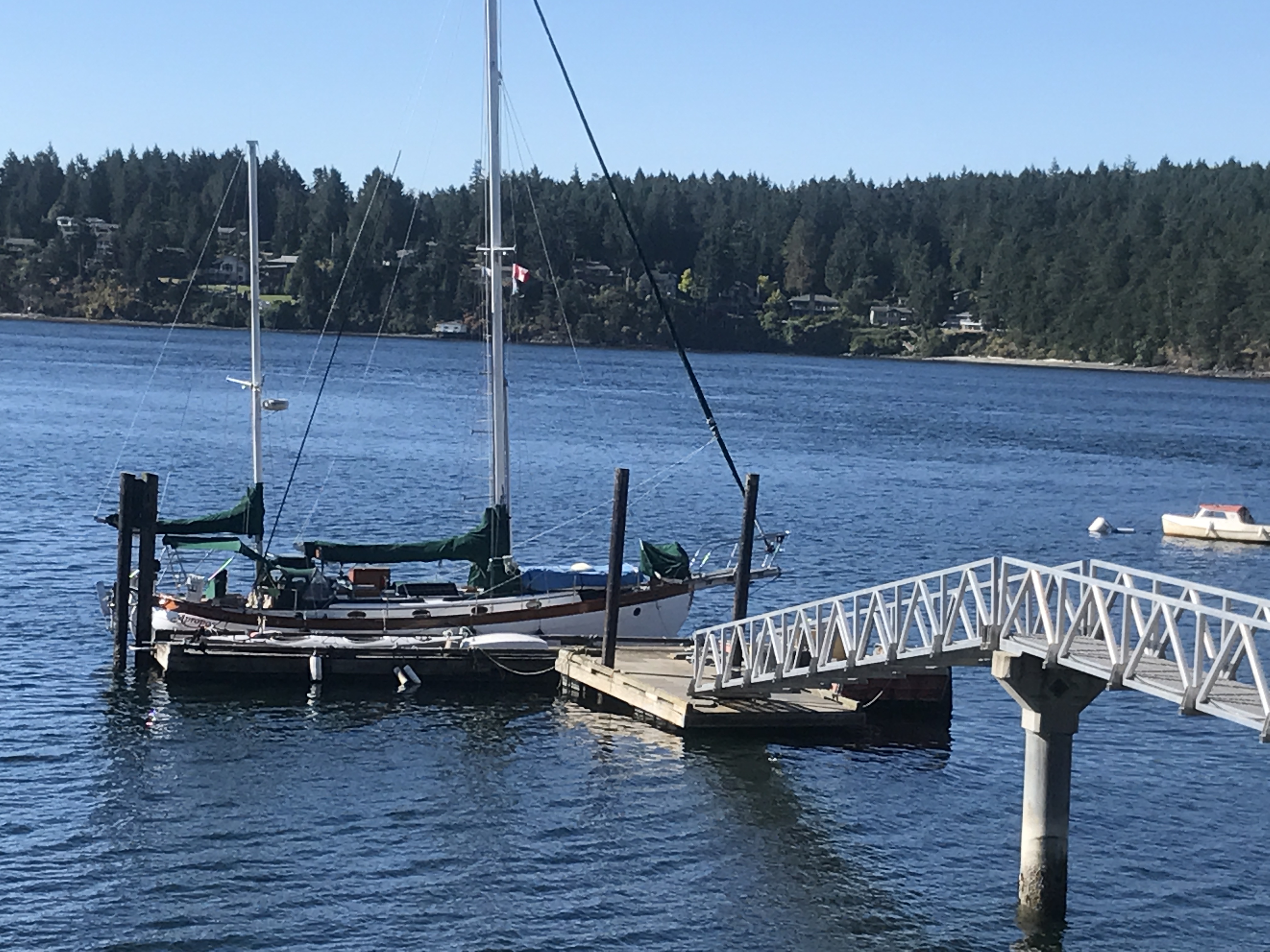
Our next stop was another short sail north to Saltspring Island and the harbor of Ganges. This was our 3rd visit to Ganges and is one of our favorite Gulf islands. We spent a relaxing 2 days there reading, playing ukulele, and visiting coffee shops, restaurants, bookstores, etc. I also managed to tear into the dinghy engine that was having problems starting. The last time I took apart and cleaned the carburetor was in French Polynesia, so lots of varnish from gas had built up in the float bowl and clogged the small openings inside the throttle body.
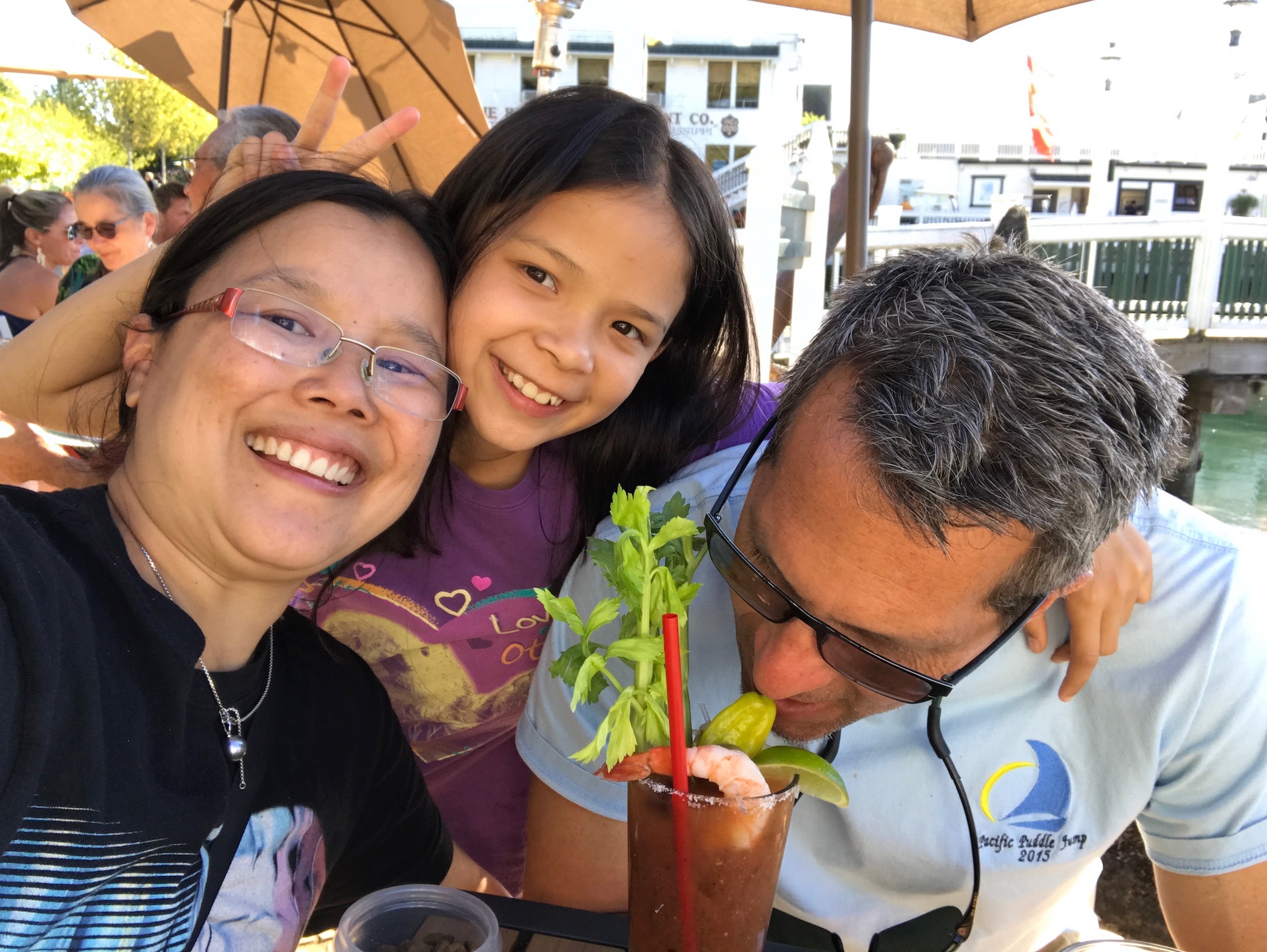
We cleared back into the US at Roche Harbor on San Juan Island, and anchored overnight in the bay. This was the first real need for the dingy and the engine started right up, but ran poorly at higher rpms, so I suspect the inline fuel filter needs replaced. It worked well enough to get us back and forth from the anchorage, so that was good. The highlights were visiting the outdoor sculpture park a short walk from the marina, and having bloody mary’s and french dip at our favorite cafe. Jacintha talked us into spending a few hours at the outdoor pool with Karen, while Champ (more on him later) and I relaxed under a shade tree near the pool.
Limekiln Cafe Bloody Mary
Sculpture Park near Roche Harbor
The trip back to Seattle went well as far as timing the tides. We sailed the entire way from Roche Harbor to Kingston, getting in just after dark and anchoring near the ferry landing outside the marina. We made it back to Lake Union the following day to complete an 8-day cruise that covered about 200 nm.
Champ (our newest crew)
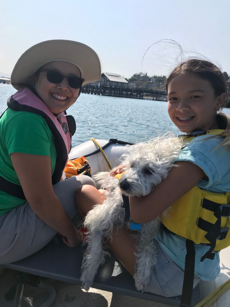
Champ is our dog we’ve had for almost a year now. He’s a mixed breed (mini poodle & terrier) rescue dog who came to the the US from Tijuana, MX. This was Champ’s first sailing trip so he deserves his own section in this post. He did extremely well and makes a great boat dog. The biggest challenge was to figure out how and when to get him off the boat for potty breaks. Before we departed Kingston marina at 4am, we took him for a quick walk. Good thing he peed because we wouldn’t be on land again for 12 hours. After we were in Canadian waters, the passages were shorter and it wasn’t a problem. He had a lot of fun running around Piers Island with another dog and when he returned he was a black dog. We hosed him down before getting back on the boat. He’s quite comfortable on the boat and likes to be in the sun sitting in the cockpit. The trip from San Juan Island to Kingston took about 12 hours, then we dropped anchor and spent the night. We tried to get him to use a 2’x2′ square turf that’s made for dogs, but he just wanted to sit on it. In the morning, we motored into the marina to fuel up and let Champ go to the bathroom. Yes, Champ has great control of his bladder (although he seems to eat/drink less while we are sailing underway)!
The 60nm passage from Port Angeles to Seattle began with a careful study of the tides and currents. Timing is important and can shave hours off this passage if done right. In the summer, this passage almost always requires motoring, and after 20 days of mostly sailing from Hawaii, I looked forward to relaxing with the autopilot doing the steering. We departed at 09:30 so that we would hit Dungeness Spit around slack, and Admiralty Inlet at mid-flood. This meant departing against an ebb tide, but by staying close to shore between Port Angeles and Dungeness, we actually had a slight positive current from back-eddies. We were also helped by a light westerly wind that gave us an extra half-knot by motor sailing with the Genoa. We passed Dungeness Spit moving at 8 knots, and were going 8-10 knots through Admiralty Inlet.
It had been 2 years since Apropos was in the Salish Sea. As we motored-sailed south towards Seattle, it was great seeing all the familiar landmarks–Dungeness Lighthouse, Port Townsend, Point No Point Lighthouse, the Edmonds-Kingston ferries, the cruise ships headed to Alaska, and finally, the Seattle skyline and Shilshole marina. Our trip to the South Pacific was amazing, but some of the best cruising grounds anywhere are in the Pacific Northwest.
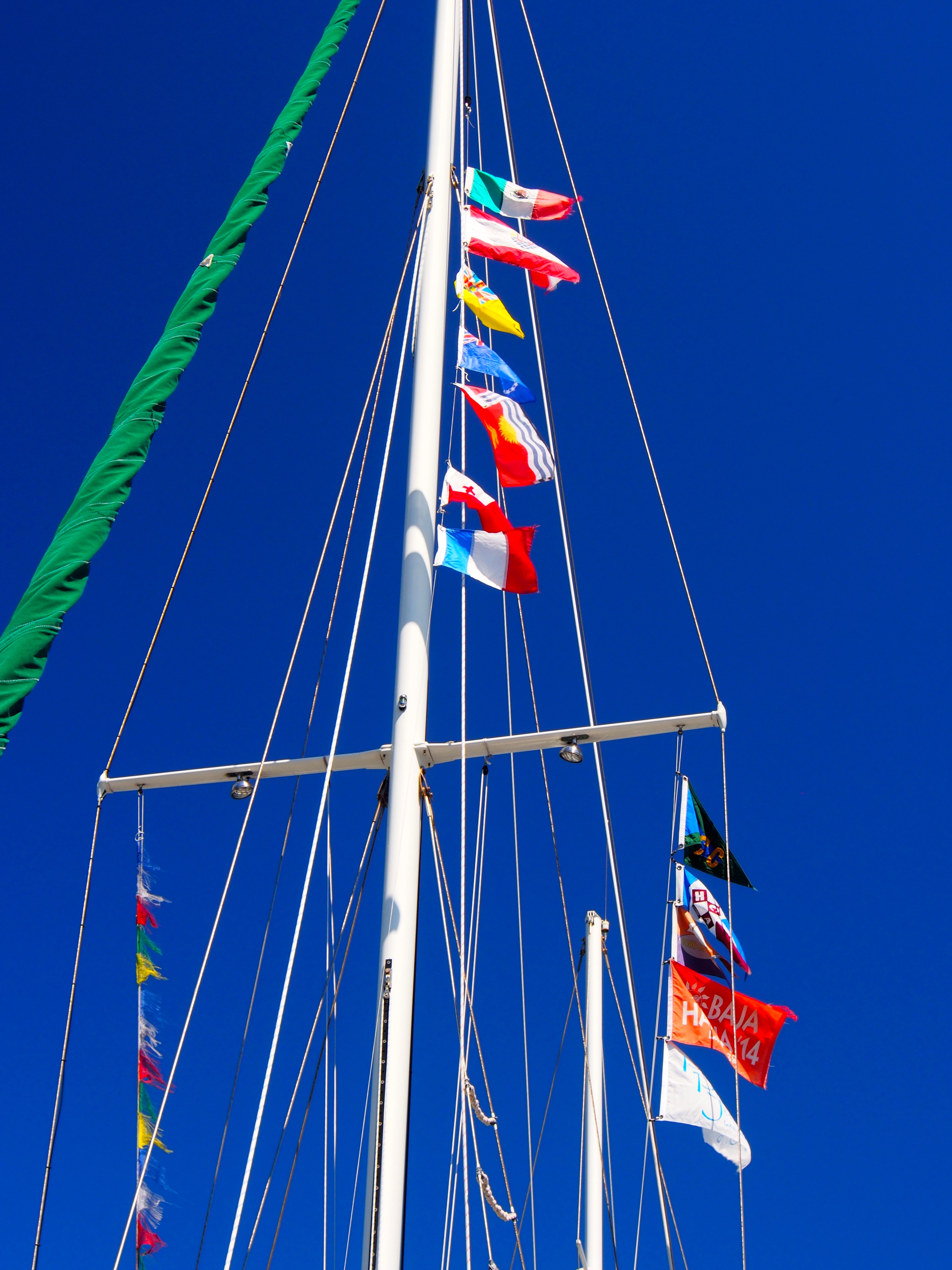
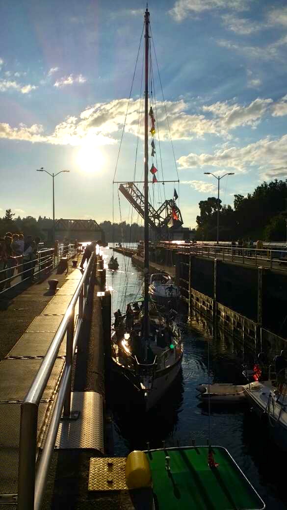
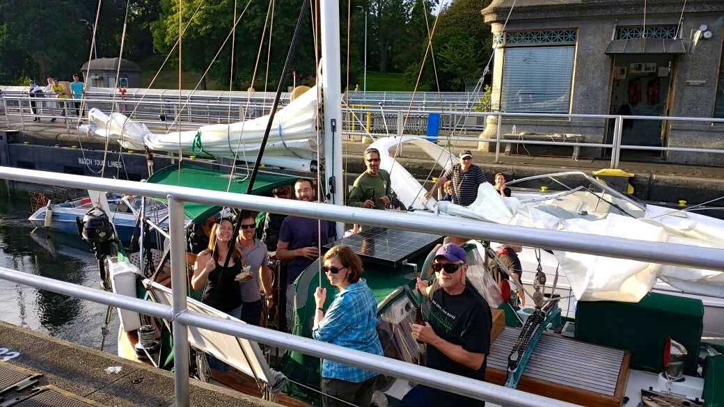
Anna Maria, who we hung out with when we were in Zihuatanejo, Mexico, joined us in Port Angeles for the final passage to Seattle. We reached Seattle by 7pm and pulled into Shilshole marina to pick up some of the crew from the Fiji, Samoa, and Christmas Island passages for the final 3 miles to Lake Union. Doug, Dave, Denise, Justin, and Adrea came aboard and we motored to the Ballard Locks, then through the canal to Lake Union. This completed a nearly 2-year, 16,000 nautical mile Pacific Ocean voyage with stops in 8 countries–Mexico, French Polynesia, Cook Islands, Nuie, Tonga, Fiji, Samoa, and Kiribati.
Country Courtesy Flags (top), Rally Flags (right), and what’s left of the Tibetan Prayer Flags (left)
Inside the Ballard Locks
Some of the crew joined us for the last 3 miles to Lake Union
Christmas Island to Hilo, Hawaii is a 1080nm passage (direct line) on a 9 degree heading. The predominant wind is NE, making it another close-hauled slog. Our plan was to sail 2-1/2 degrees of longitude (150nm) further east from the direct path in the first half of the passage to set us up for the stronger NE trades further north. We figured that we could always make landfall in Maui or Oahu if the wind shifted more north. In the end, we decided on Oahu due to the schedule and convenience of flights for crew. Since we went went so far east earlier, this added about 300 miles to the direct path to Honolulu.
Justin, Andi, and Cap’n
Here are 2 blog updates from sea on day 5 and day 9:
Update from Sea–17deg N, 156deg W
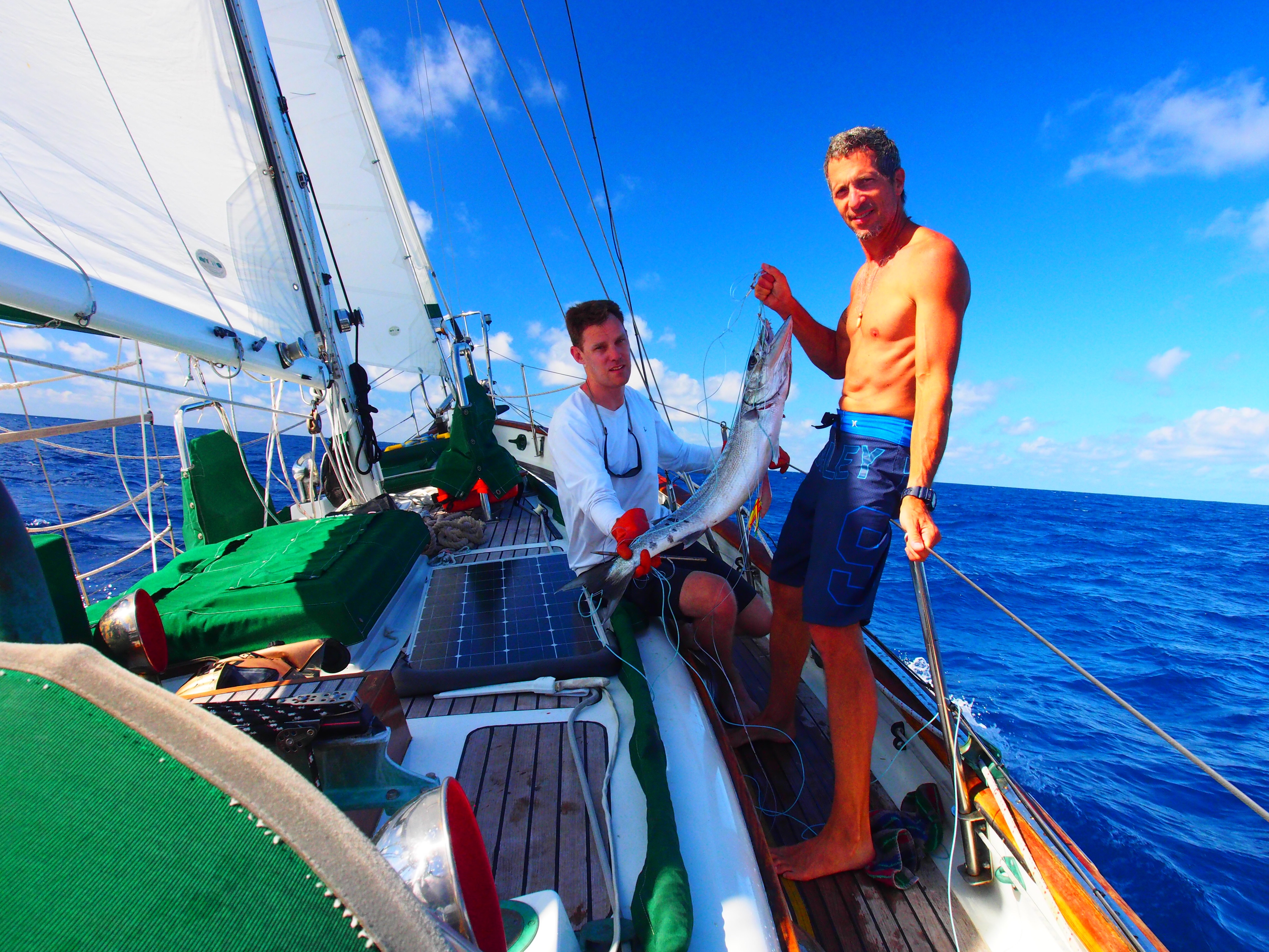
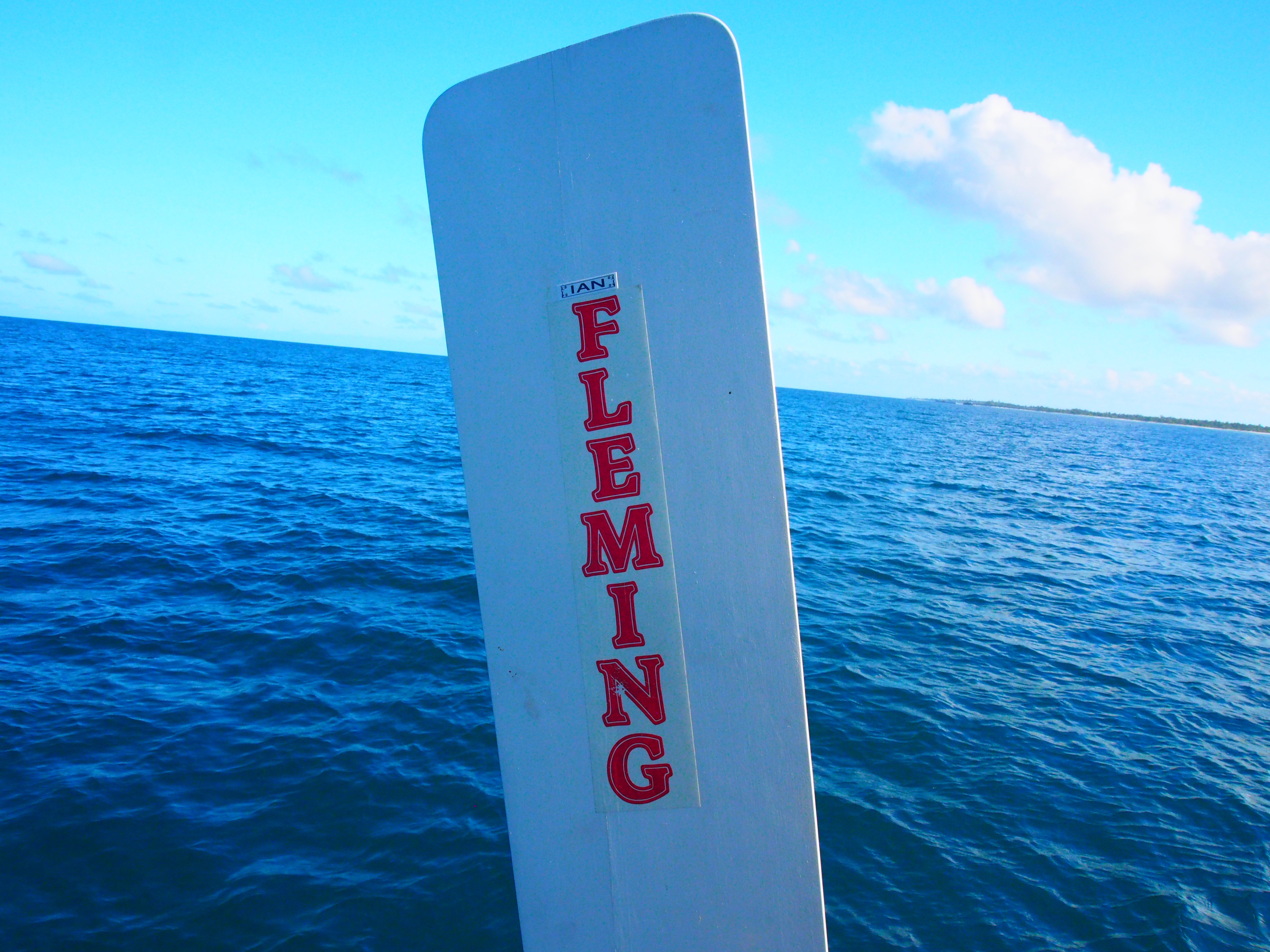
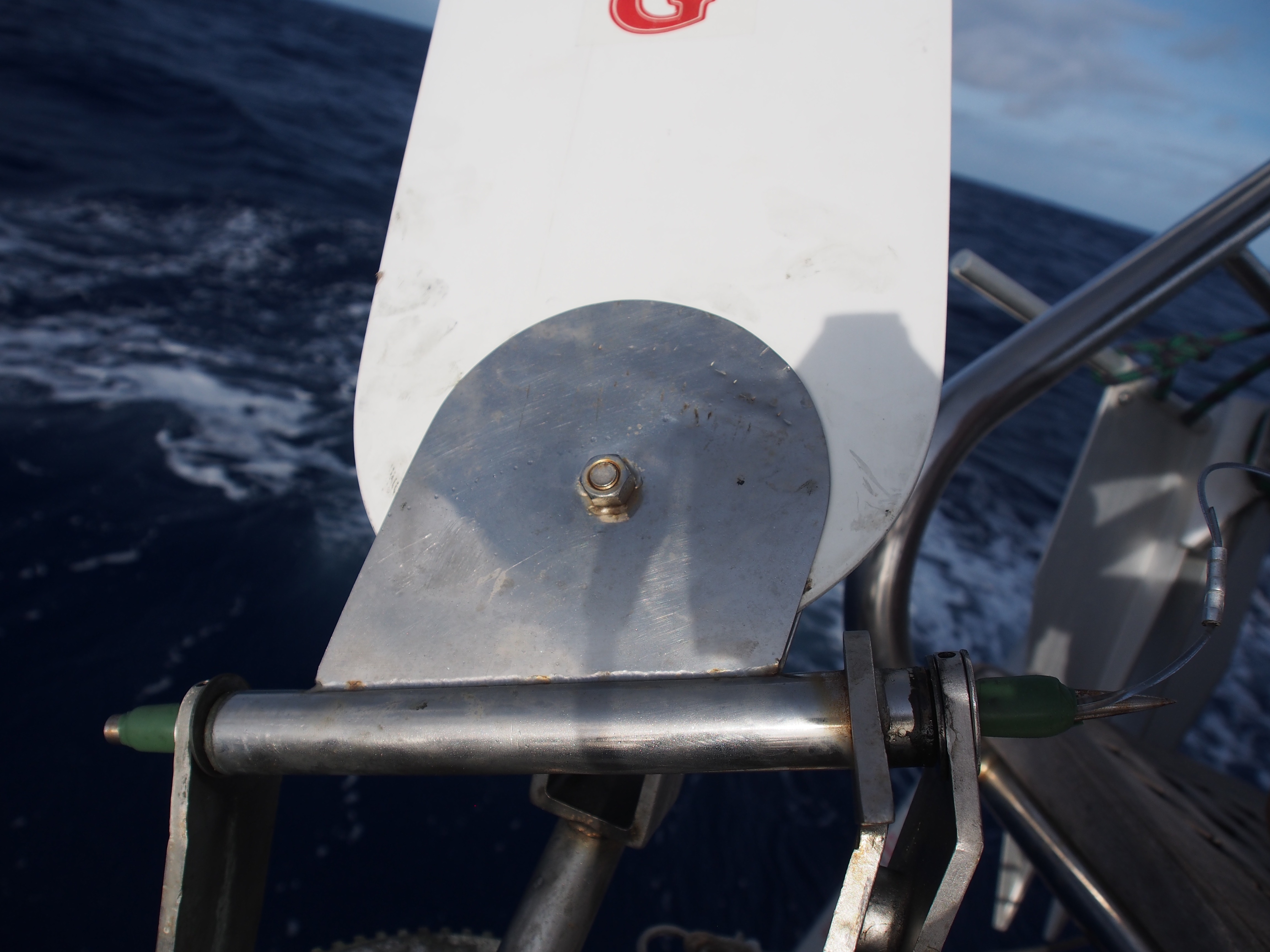
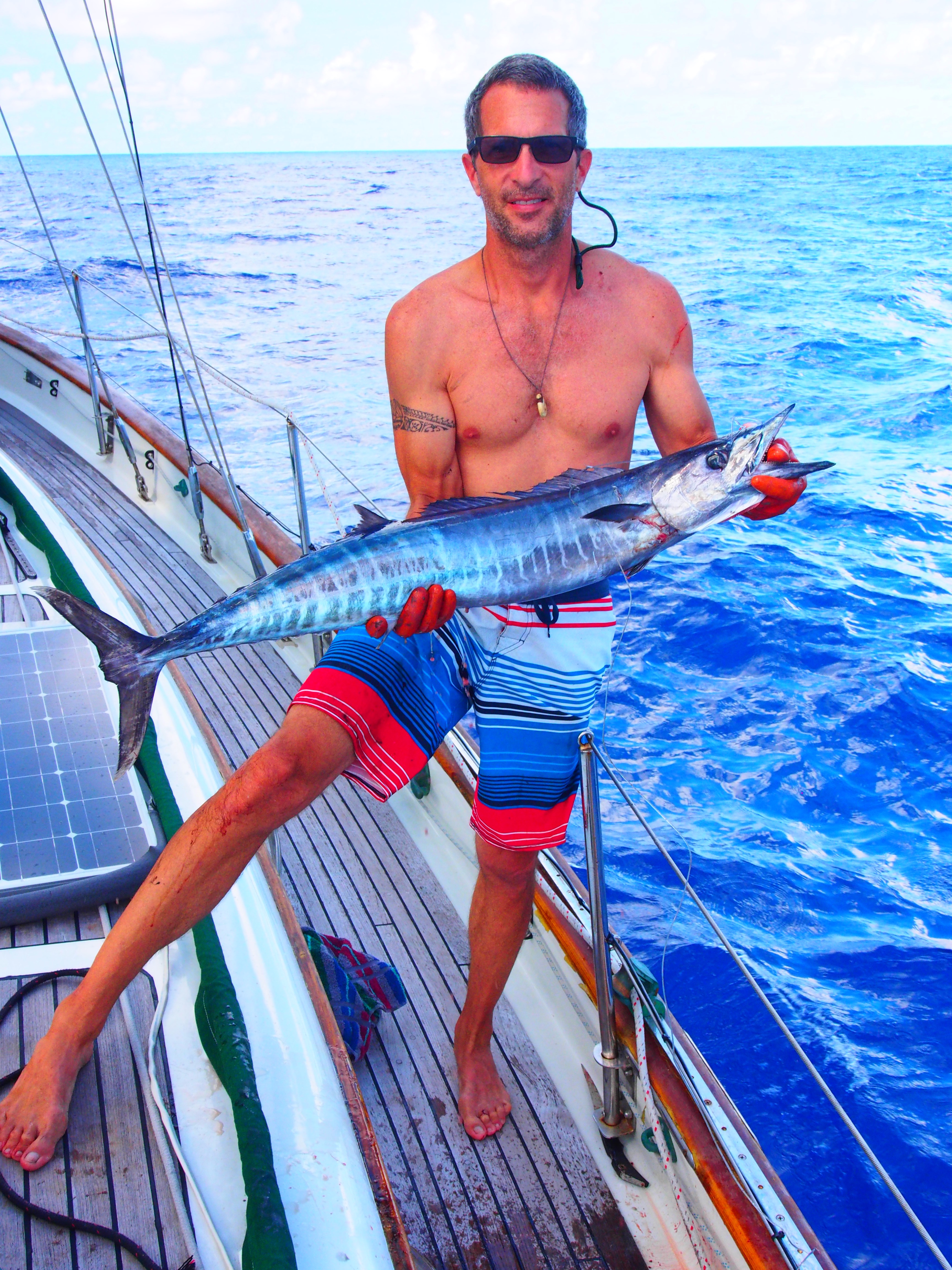
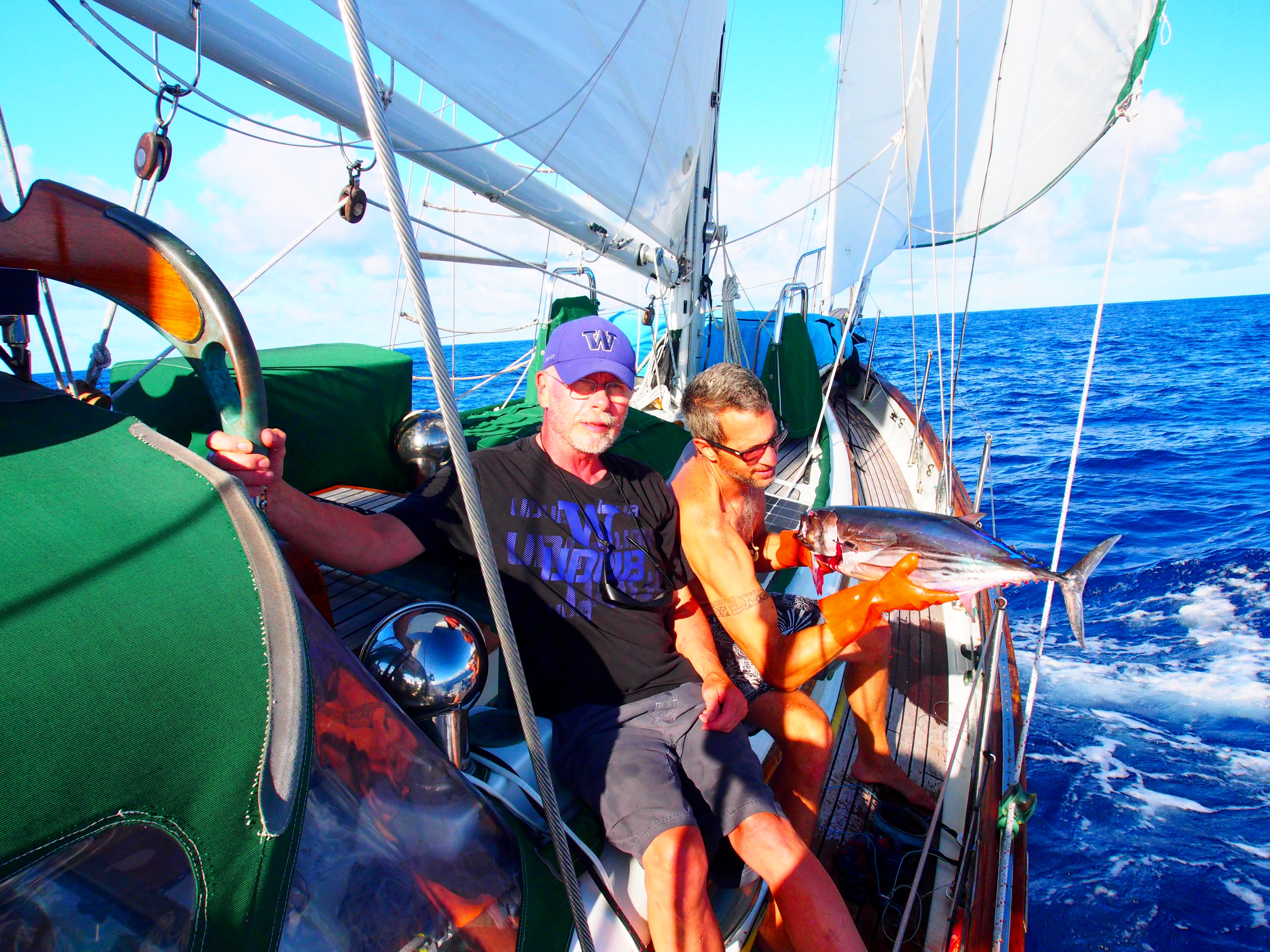
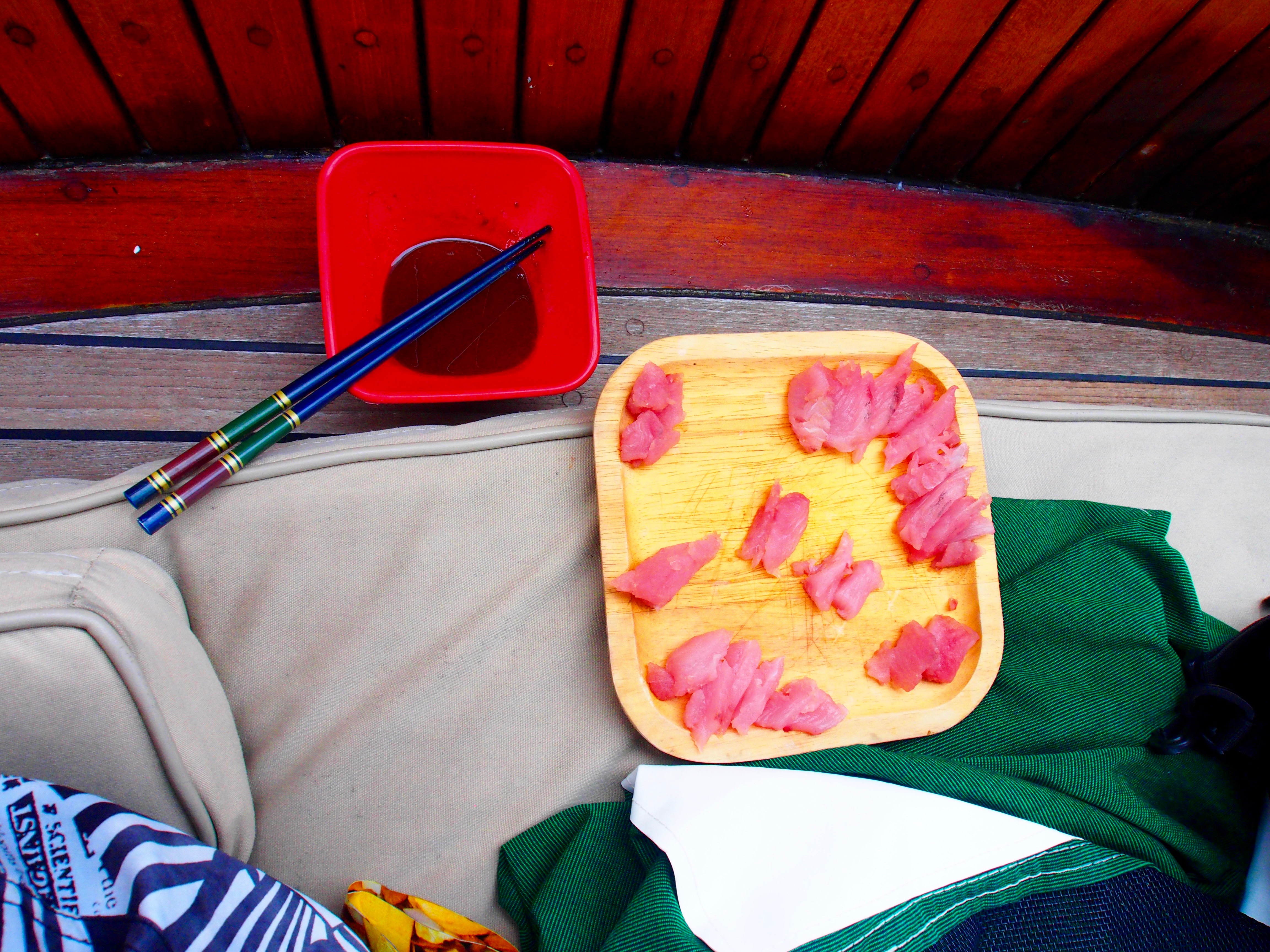
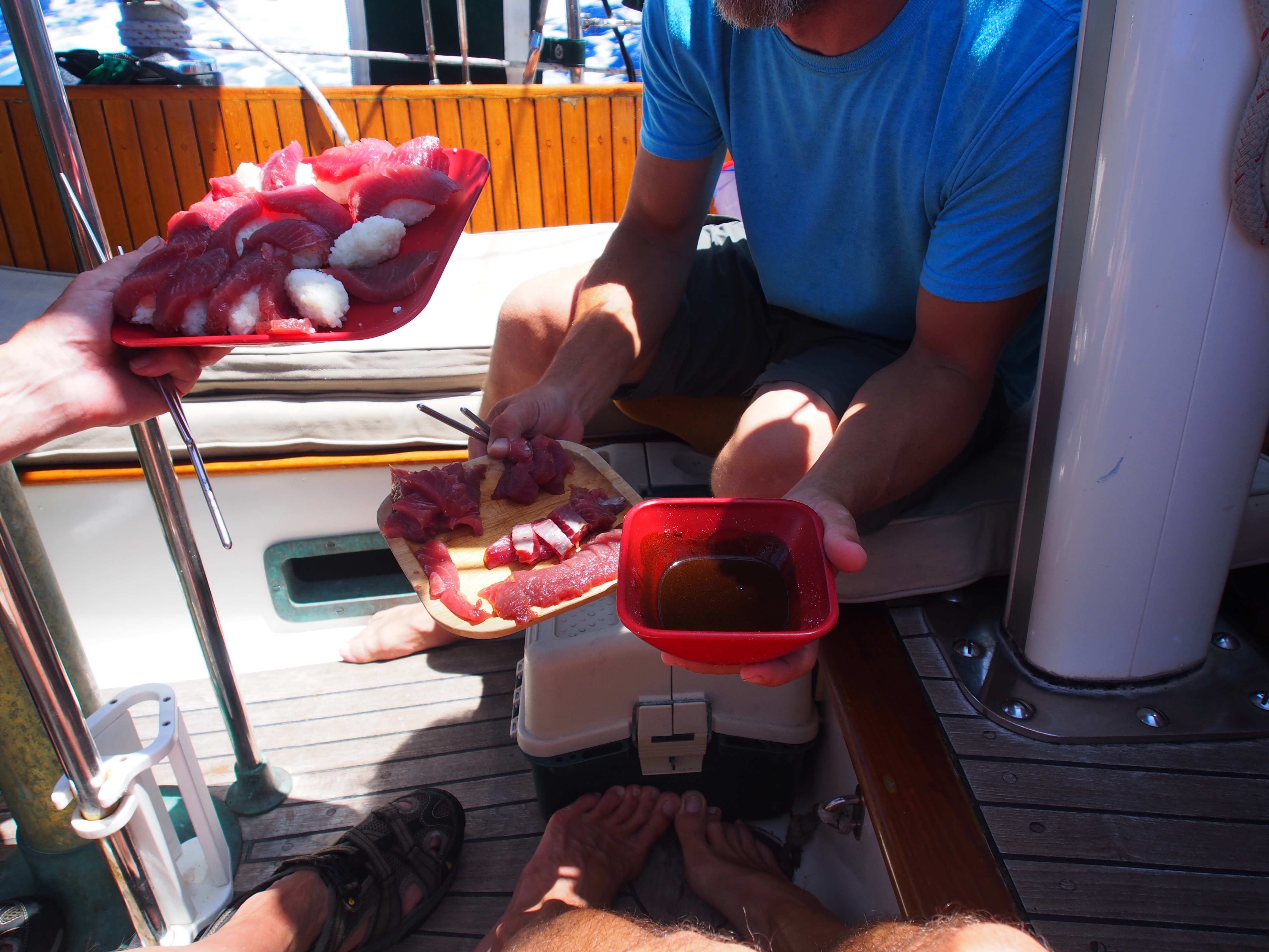
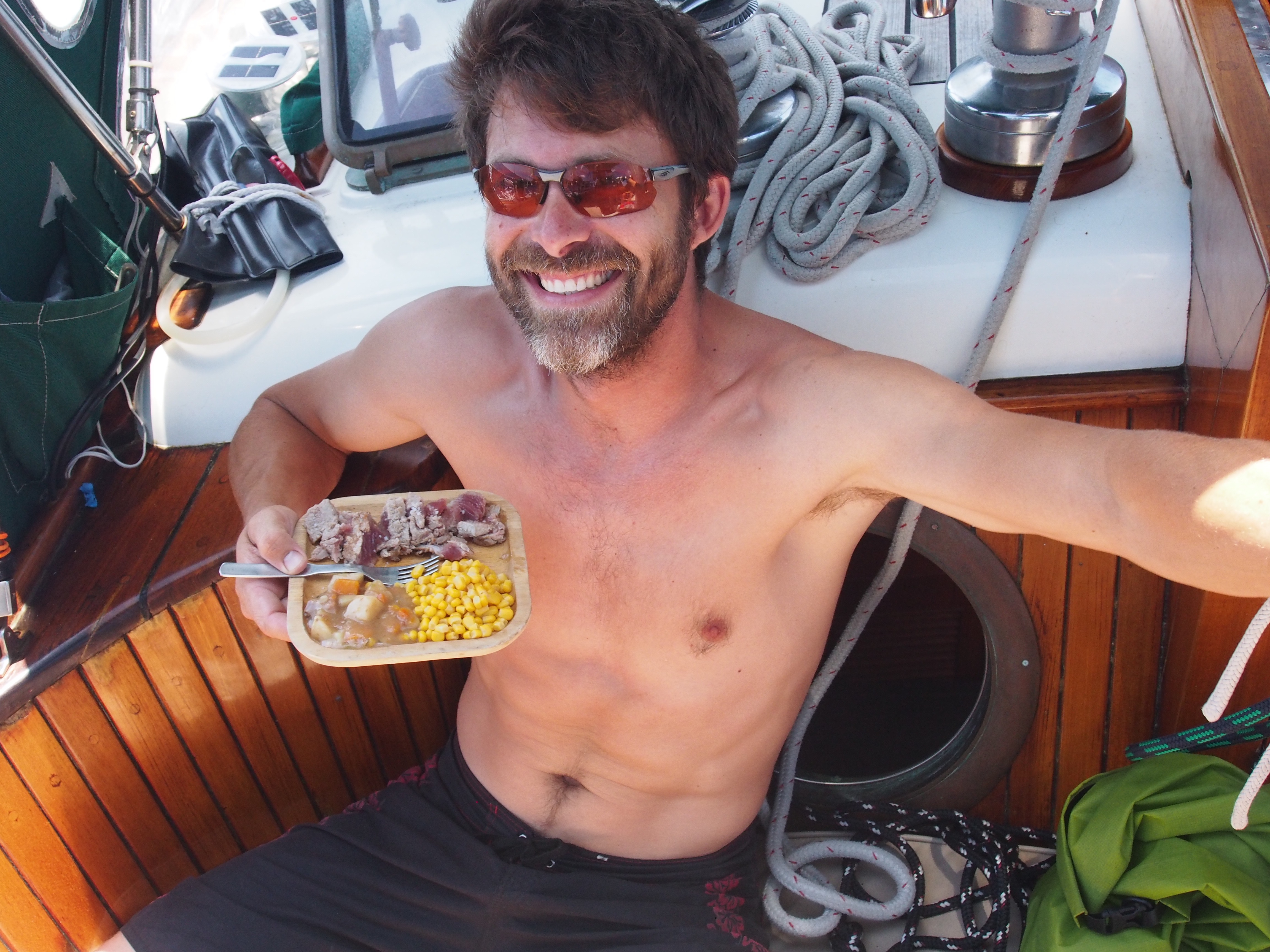
Today begins our 5th day at sea on the Christmas Island to Hawaii passage. We’ve seen everything from doldrums to squalls, but light air the majority of the time. And no sea-sickness among the crew for a change! Justin and Andi are doing great at picking up all the things required for passagemaking–sail trim & reefing, weather watching, boat maintenance, etc. They are also amazing in the galley and are avid “birders”, so I’m learning a lot about the different sea birds flying around us. We pulled in a large Wahoo on our 2nd day out and just finished eating it yesterday. It had some large upper teeth (like a small dog) and mostly small, sharp lowers, so we were careful handling it! The Hawaiian name for Wahoo is Ono, which means “delicious”. I think we drug it on the handline awhile since it was tired when we finally pulled it on deck. Justin and Andi made fish tacos, seared fish with couscous, and seared Mediterranean-style. We covered about 210 nm of easting during the first 4 days to set us up with a straight-line route into Hilo. If things change, we could check in at Maui or even Honolulu. We expect to reach the half-way point sometime tomorrow. Fuel is always a concern on long passages and so far we used up 48 out of 130 gallons. There was some remaining issues with bottom of the tank dirt clogging up the diesel filters, but seems to be better now after numerous filter bowl cleanings and filter changes. We pass time during the day with crossword puzzles, fishing, bird watching, eating, and resting. We have a special treat at Captains Hour when time allows and we’re not fighting squalls. We lost a critical part from Ian, the Fleming self-steering windvane. During the night, a 6 inch stainless steel rod that allows the vane to pivot on the servo arm disappeared into the deep, dark blue. I was surprised when I saw it since we count on Ian to keep us from hand-steering all the time. I was able to jury-rig a fix using a 10″ ss rod (fishing gear) that is slightly smaller in diameter. It’s held in place with 2 small set-screws, but for added insurance I used rescue tape on both ends to keep the pin from sliding out. So far it is working! After Samoa and especially Christmas Island, I’m really looking forward to landfall in Hawaii and being able to buy food and supplies just like in the rest of the states!
Wahoo caught on day 2
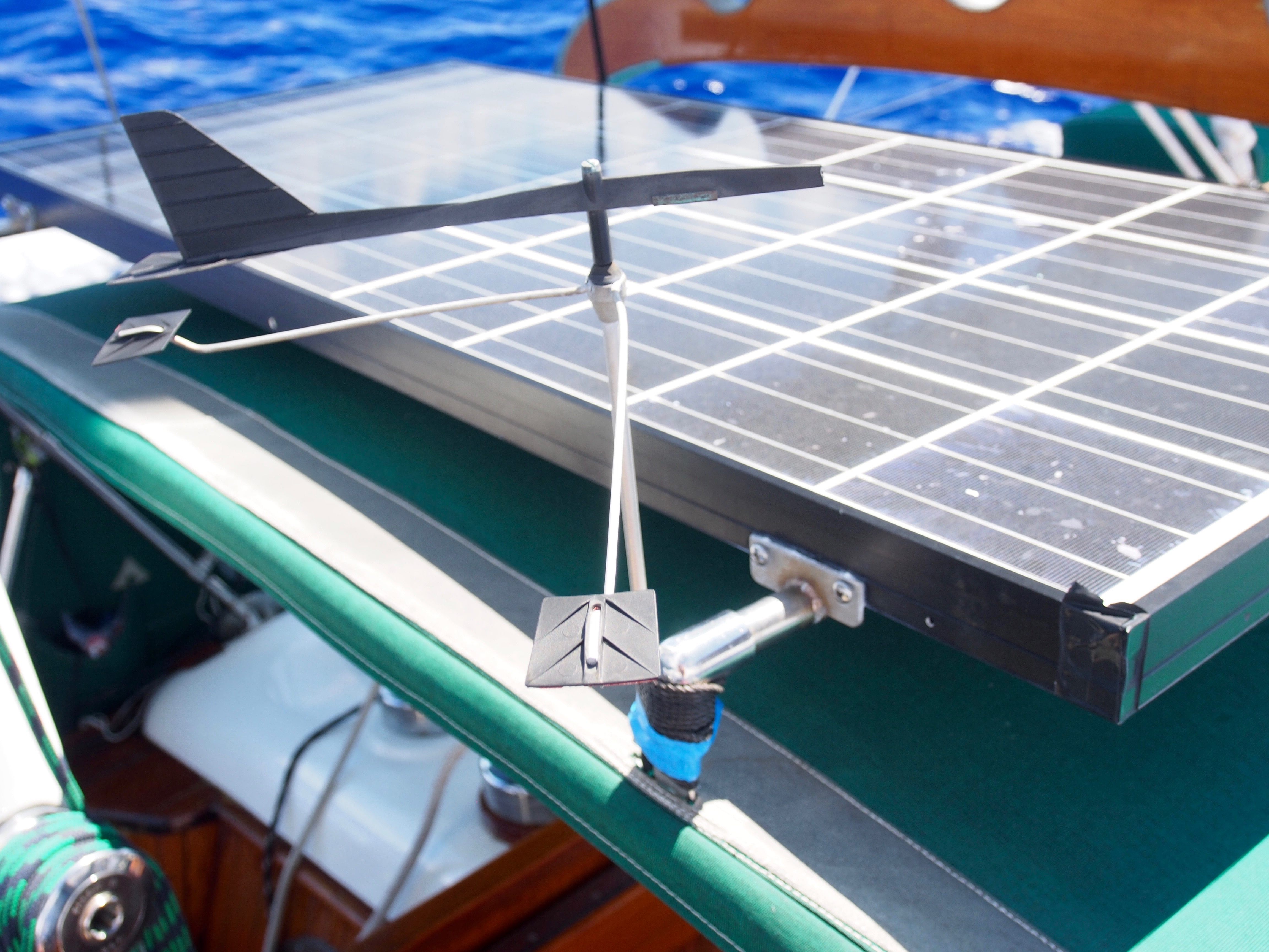
Ian finally got his name put on the vane
The fix that kept Ian working (pin with green tape on ends)
Update from Sea–8deg28min N, 154deg01min W
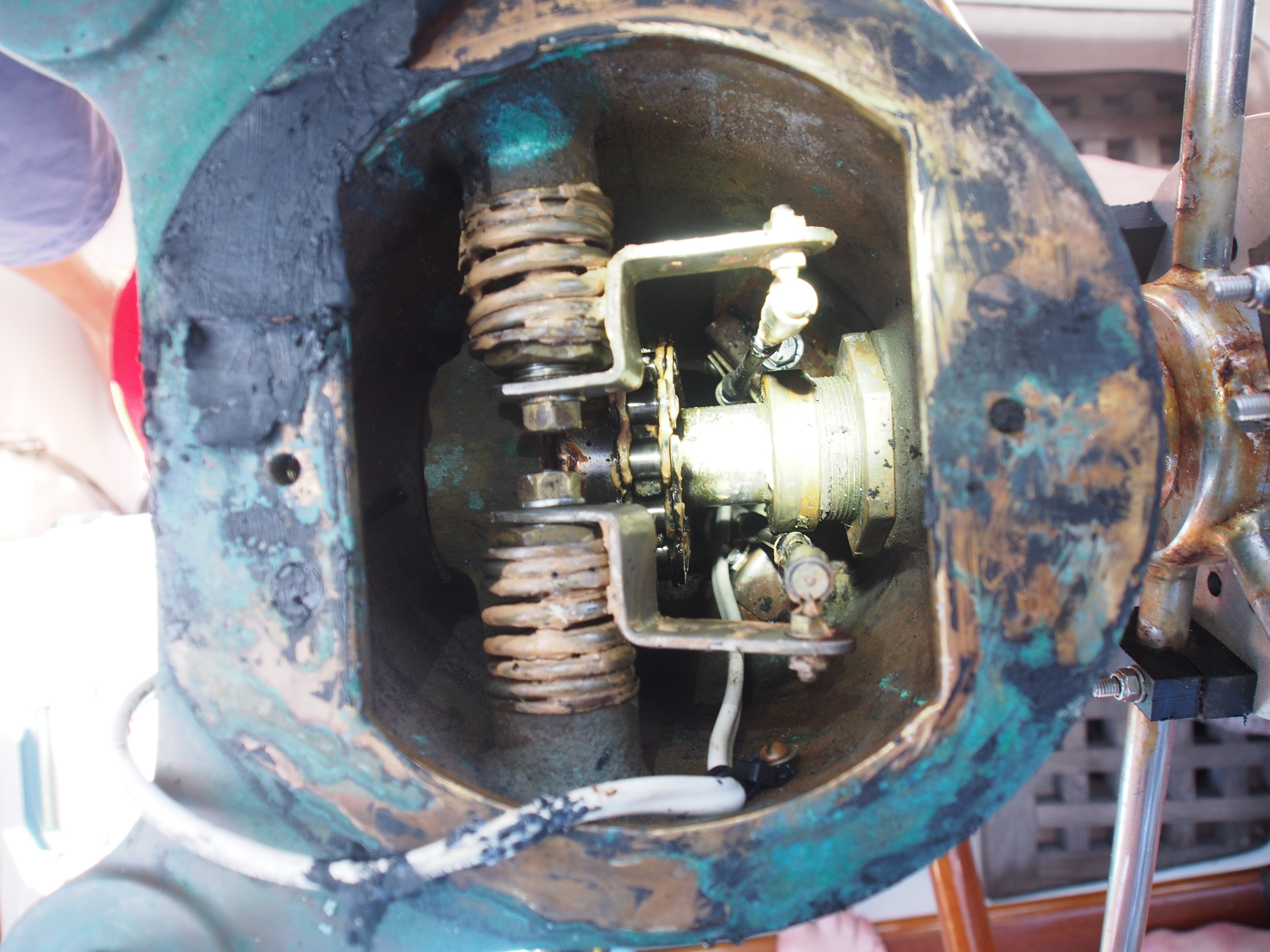
Today we are in day 9 of the passage from Christmas Island to Hawaii. We’re currently 260nm from Honolulu. We decided not to go to Hilo for check-in to make it easier and quicker for the Justin and Andi to get to Maui for their flight back to Seattle. Another unexpected and unfortunate thing happened to Ian, our self-steering wind vane. After loosing the pivot pin a few days ago, a more serious break happened–the wind vane rudder vanished into the deep, dark blue! It looks like a weld broke and a tether, whose purpose was to pull and pivot the rudder up and out of the water when not in use, was no match for dragging something that big in the water at 6 knots. This rendered the wind vane completely useless, so good thing we were only about 4 days from landfall. We used a combination of hand-steering and balancing the boat via the 4 sails so she would steer herself on a constant course. I contacted the wind vane manufacturer (Fleming from Australia) and will have a new rudder shipped to Hawaii. Brian, who is crewing from Hawaii to Seattle, is machining a pin to match the one that fell out, so Ian should be back to working condition when we depart from Hawaii. After getting through the doldrums and a huge, half-day rain storm, we finally broke out into the trade winds. We’ve now been sailing for the past 6 days covering 24-hour distances of 109, 94, 119, 116, 140, and 143nm. With 2 days left, we should pull into Honolulu with almost 3/4ths of the fuel still in the tanks. The past few nights have been moonless so the stars have been amazing. We finally spotted Ursa Minor about 2 nights ago and Polaris has been rising higher by about 2 degrees (angular height above the horizon) each night, since we cover about 2 deg of latitude (120nm) daily. We are on a 0 deg. true heading, so Polaris is straight ahead and we can still see the Southern Cross at 180 deg. getting lower and lower. Last night we used an iPad app. to identify Mars, Saturn, Jupiter, and bright stars and constellations in the dark sky. Another repair at sea involved the steering system after I noticed there was about a 1″ play in the wheel. I had visions of the wheel coming completely off the binnacle. To gain access to the upper steering connection, we had to remove the compass and mounting board. Then it was obvious that all that was needed was to tighten the large nut threaded onto the steering axle.
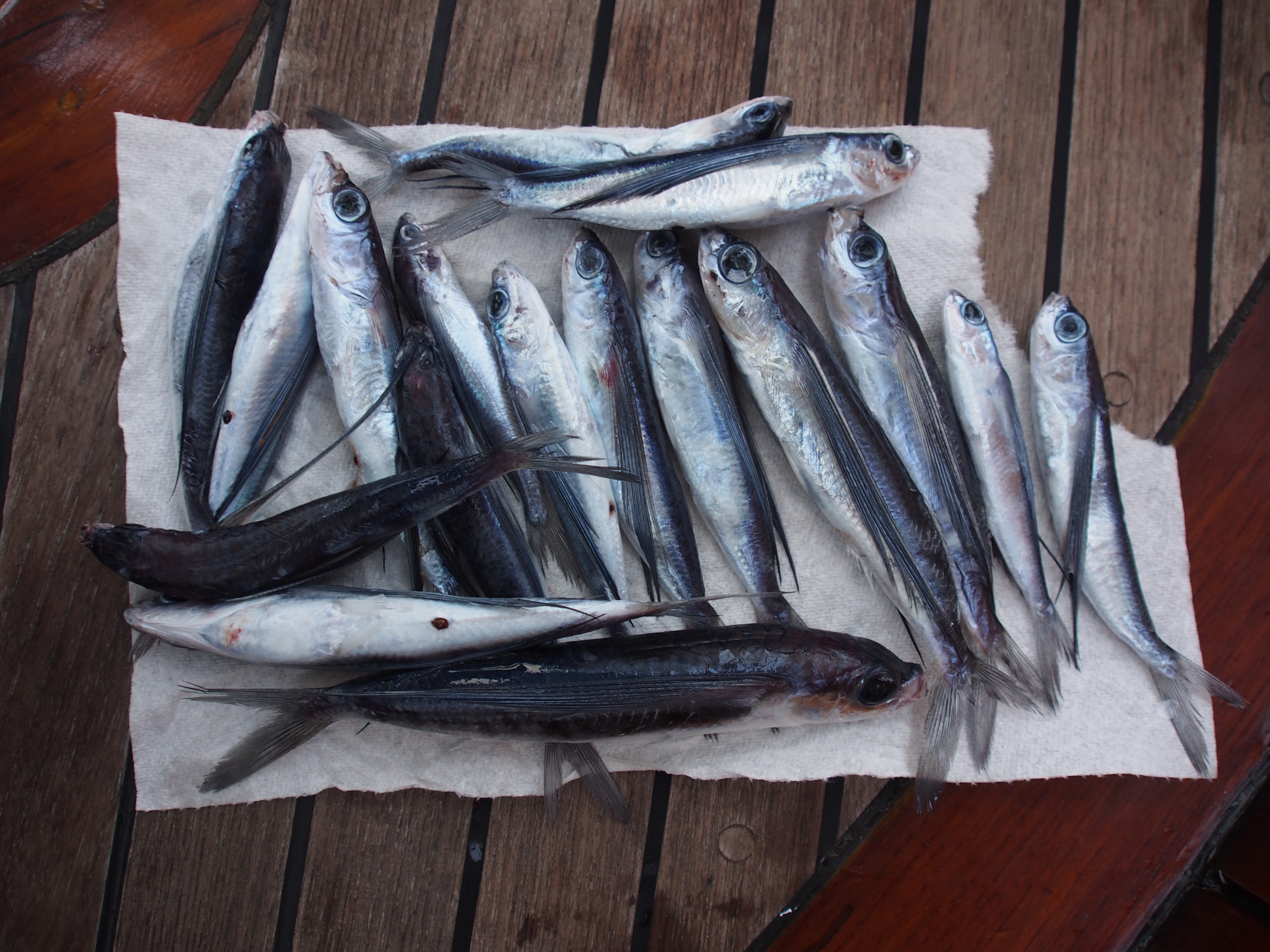
17 Flying Fish landed on deck overnight
Wind vane shaft showing where rudder broke off
Looking down at the binnacle with compass removed to show throttle, gear, and steering chain (the bronze nut to the right was loose)
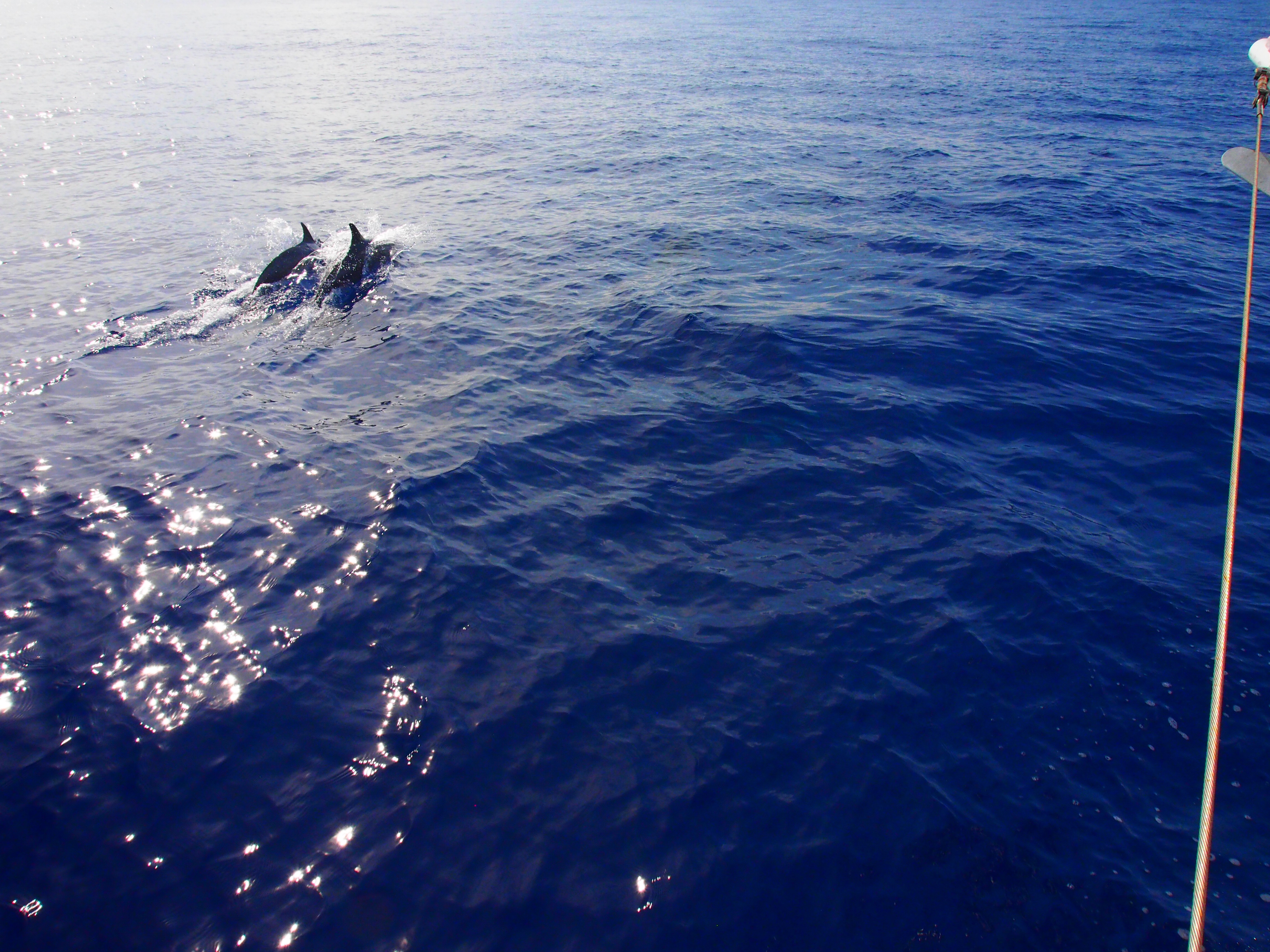
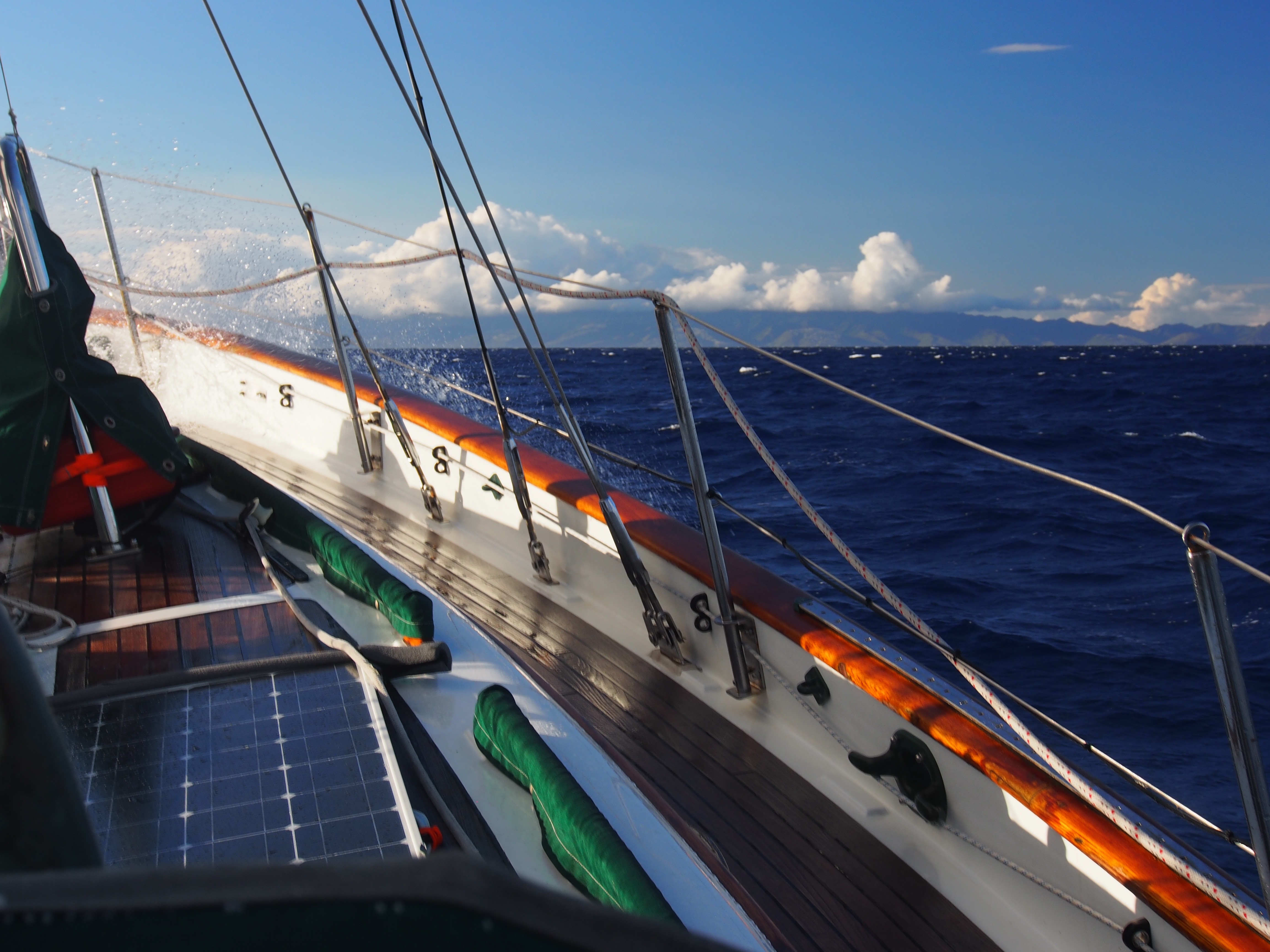
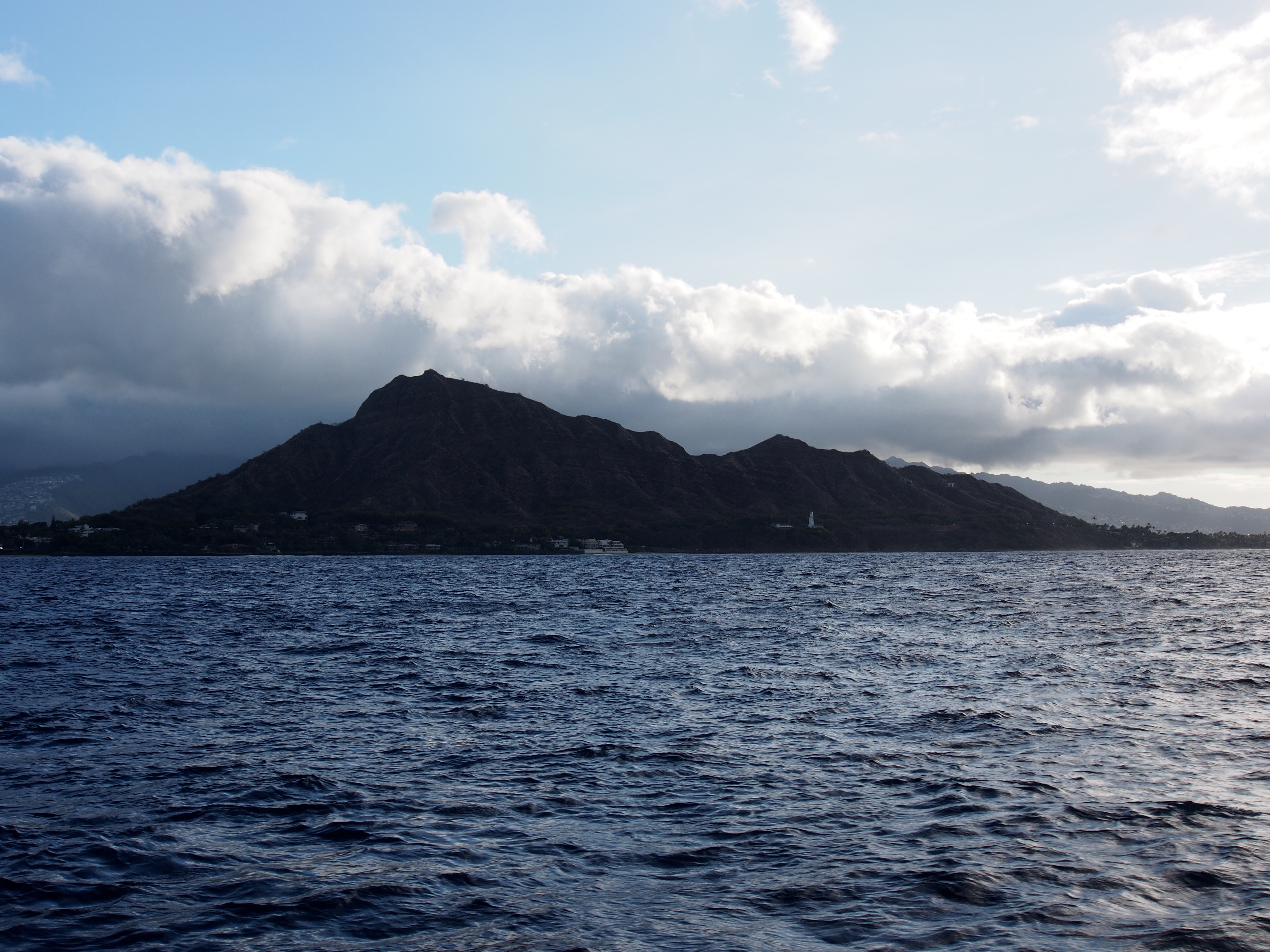
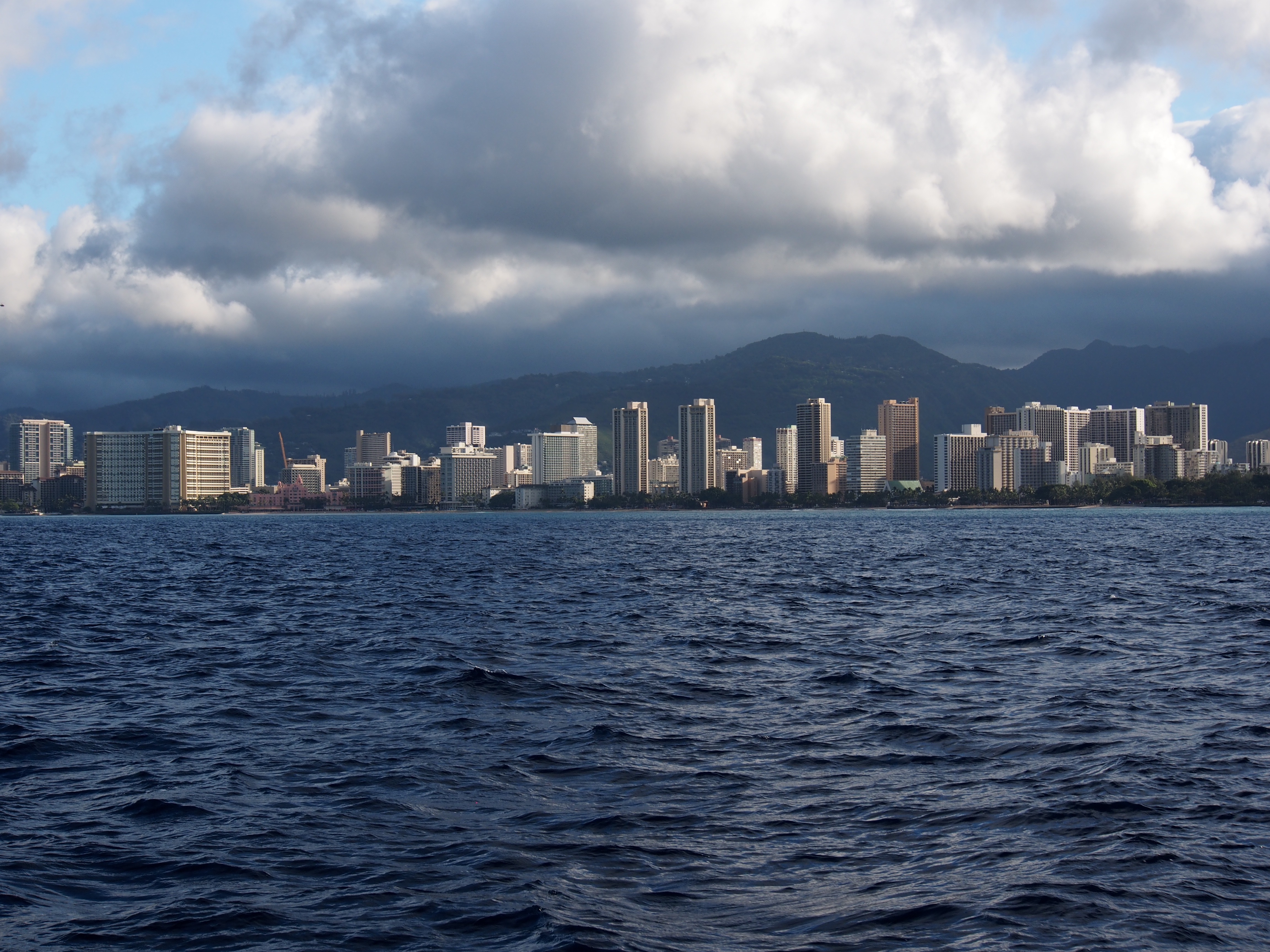
In the final day and a half, we saw both extremes of wind. Once we got in the lee of the big island of Hawaii with its tall volcanoes, there was no wind at all and we motored for about 12 hours. I never realized how big the island was until we had to motor along it. From tip to tip, it stretches about 80 miles, the same distance from Seattle to the Canadian border! At the closest, we were just 40 miles off the south-west coast, yet we never once spotted it due to the haze. We finally broke out of the wind shadow as we got closer to Maui, which was the first land we spotted. From there to Oahu, we had plenty of wind and had to reduce sail to keep the boat from heeling so much. We pulled in a small bluefin tuna as the hotels of Honolulu and Waikiki got closer. Right after that a group of about 20 dolphins swam beside us, giving us a fantastic show. Some were obviously showing off as they lept completely out of the water. Our arrival after dark forced us to hove-to (with stays’l and main) until dawn, since we would be tying Tahitian-style to a dock and mooring buoy at the Ala Wai marina. When I got up at 5am, I pulled out the genoa and sailed east past Waikiki and Diamond Head for some photos.
We spent 10 days of Christmas Island (Kiritimati Island) while waiting for new crew to fly in. We arrived on a Monday and flights only come in once a week on Wednesdays, but we had to wait for the following week for the crew exchange (Doug and Adam flew out the same day Andi and Justin flew in). London is the main village on the island and consists of a few small grocery stores (with very limited food), 2 gas stations, a bank, a school, and not much more. At 2 degrees north of the equator, it was very hot and mostly dry. Here are some pictures taken during our stay:
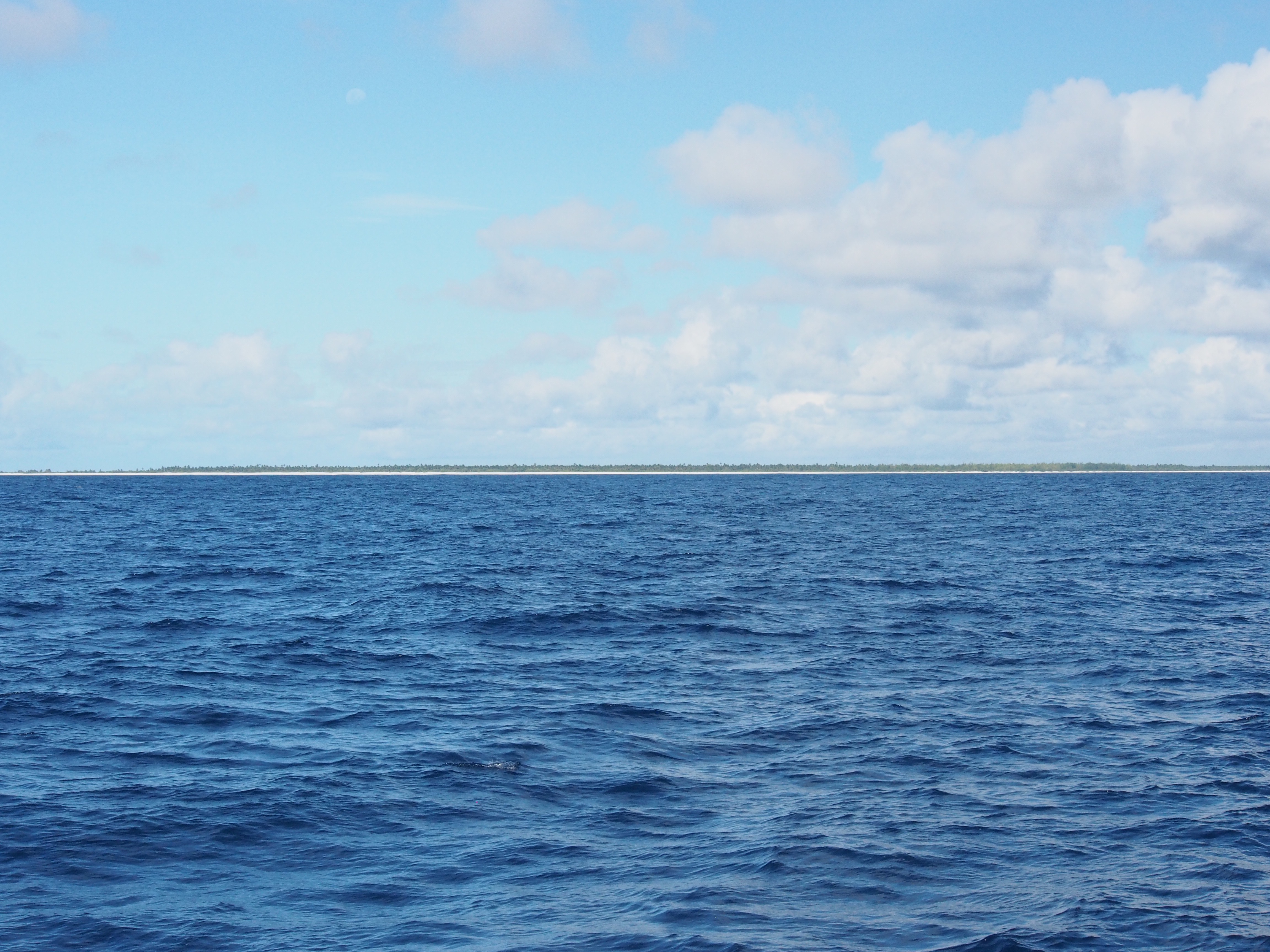
Spotting Christmas Island atoll from a few miles out
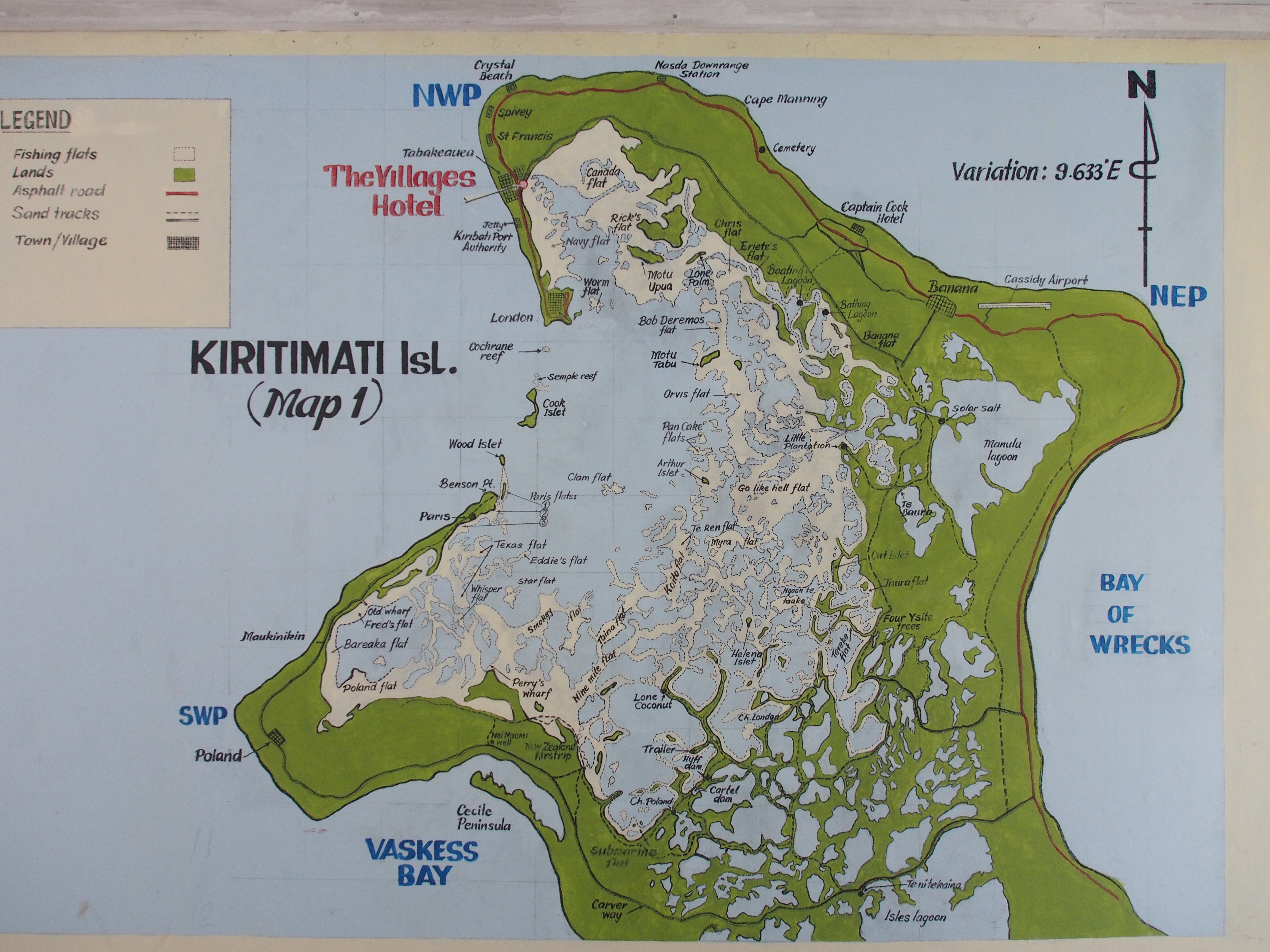
Kiritimati Island (Christmas Island) map
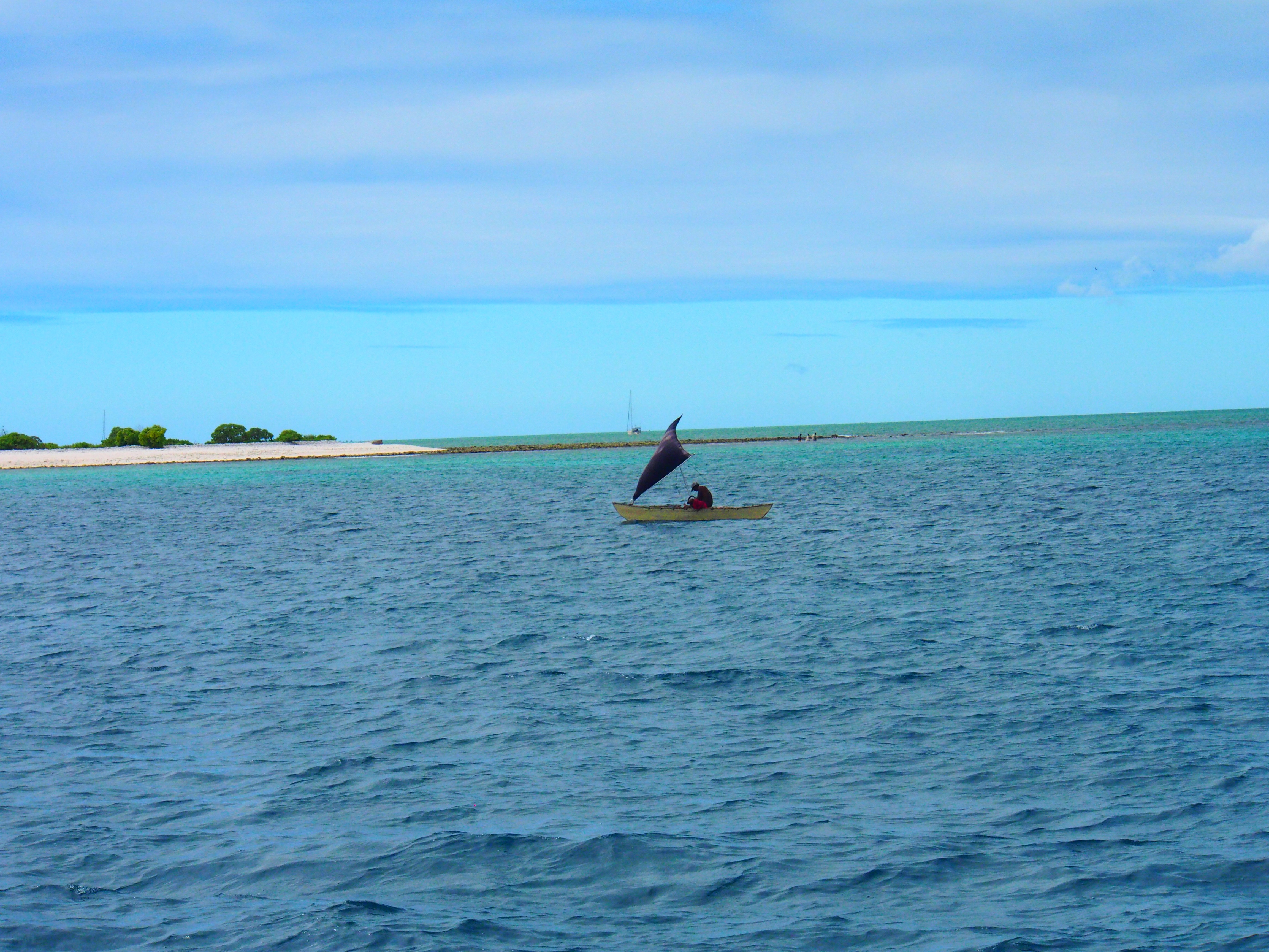
Local fisherman in a sailing dinghy near our anchorage
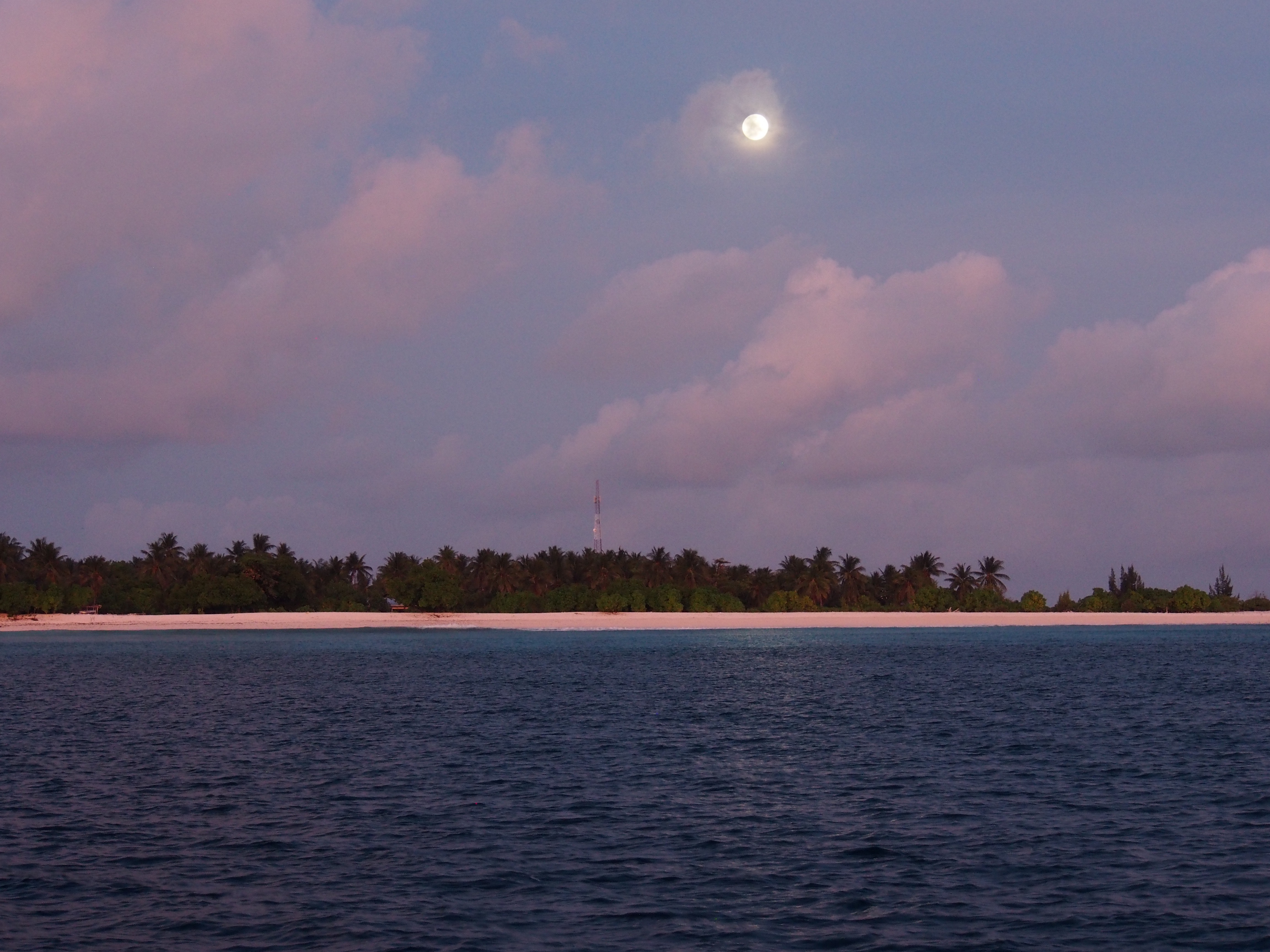
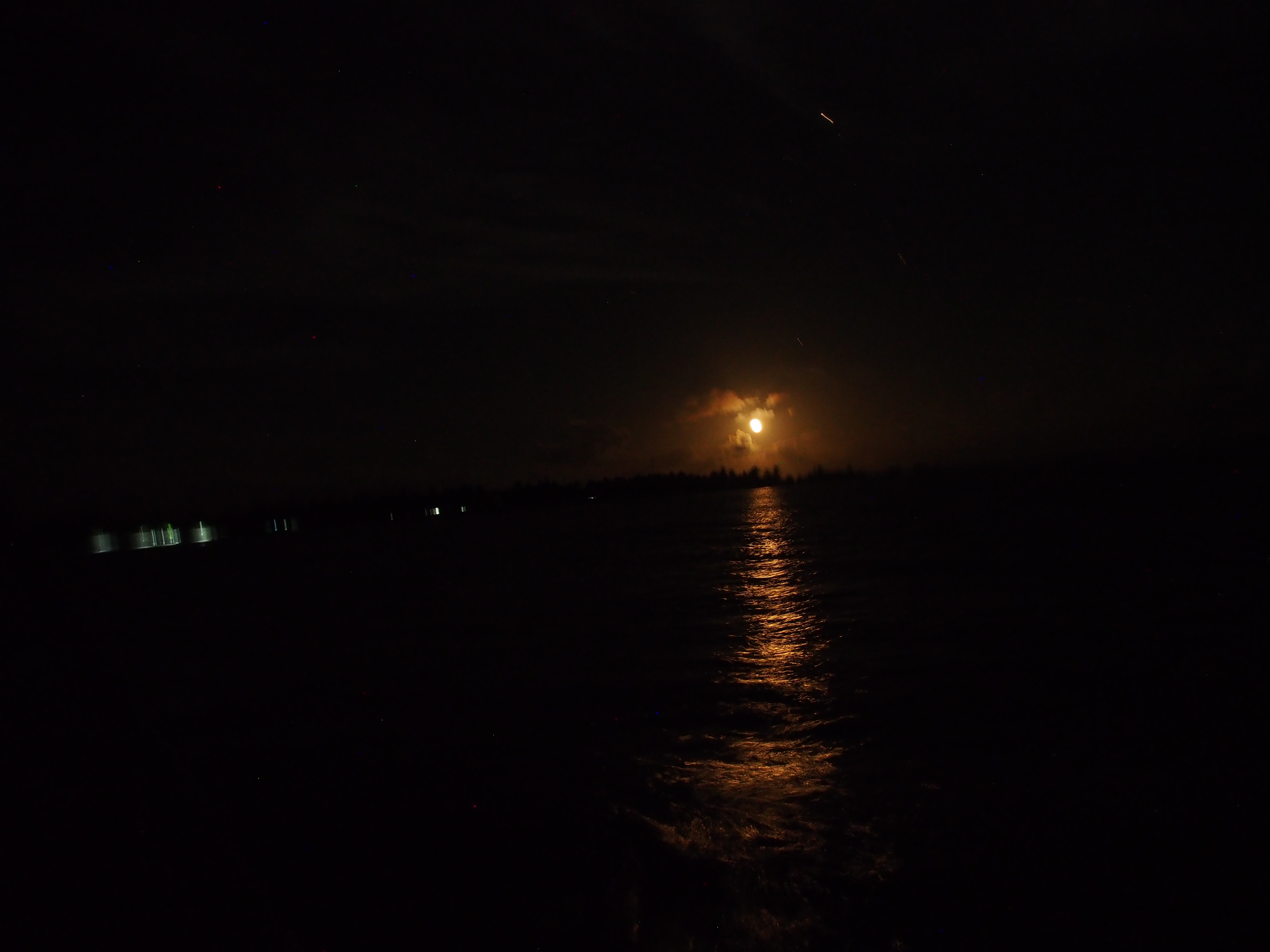
Moonrise at anchorage
Moonrise at anchorage (a week later)
Taken in London (village on Christmas Island)
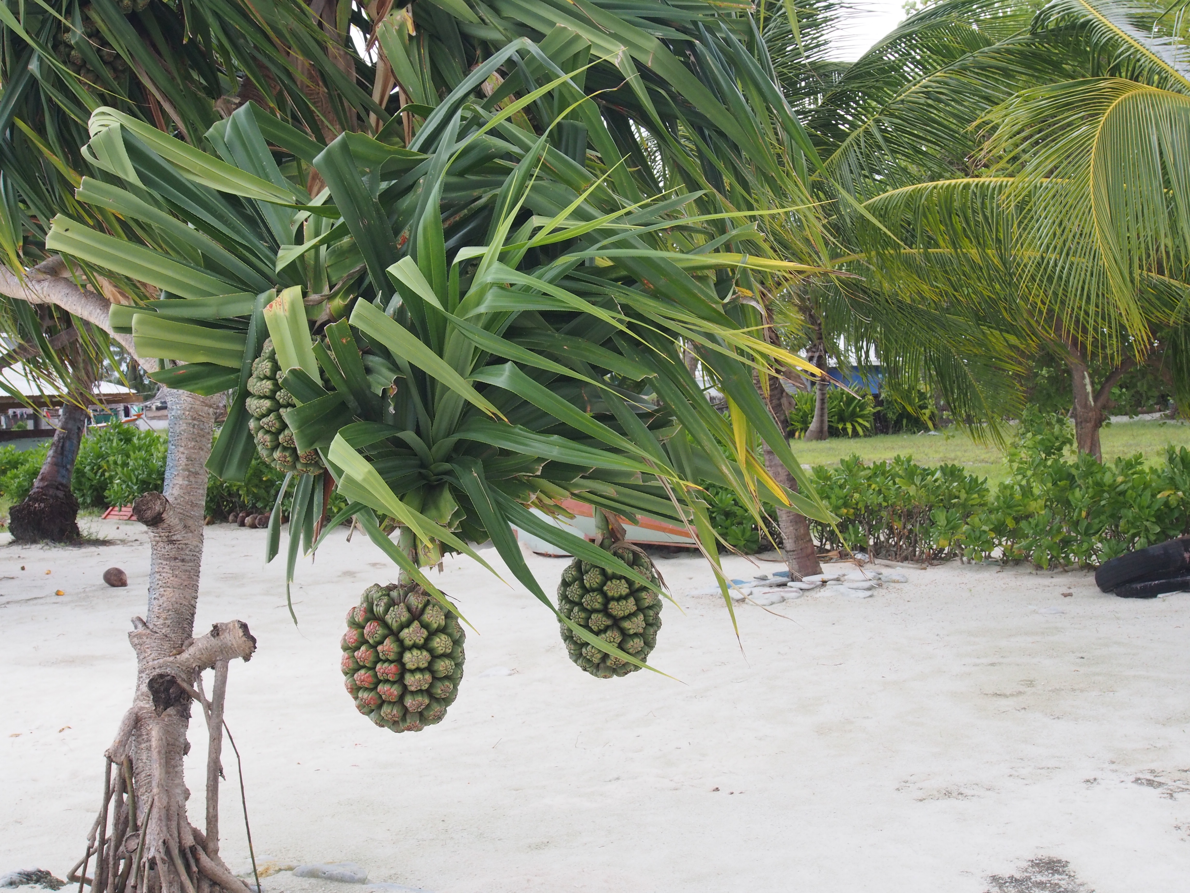
Local plant (not sure what it is)
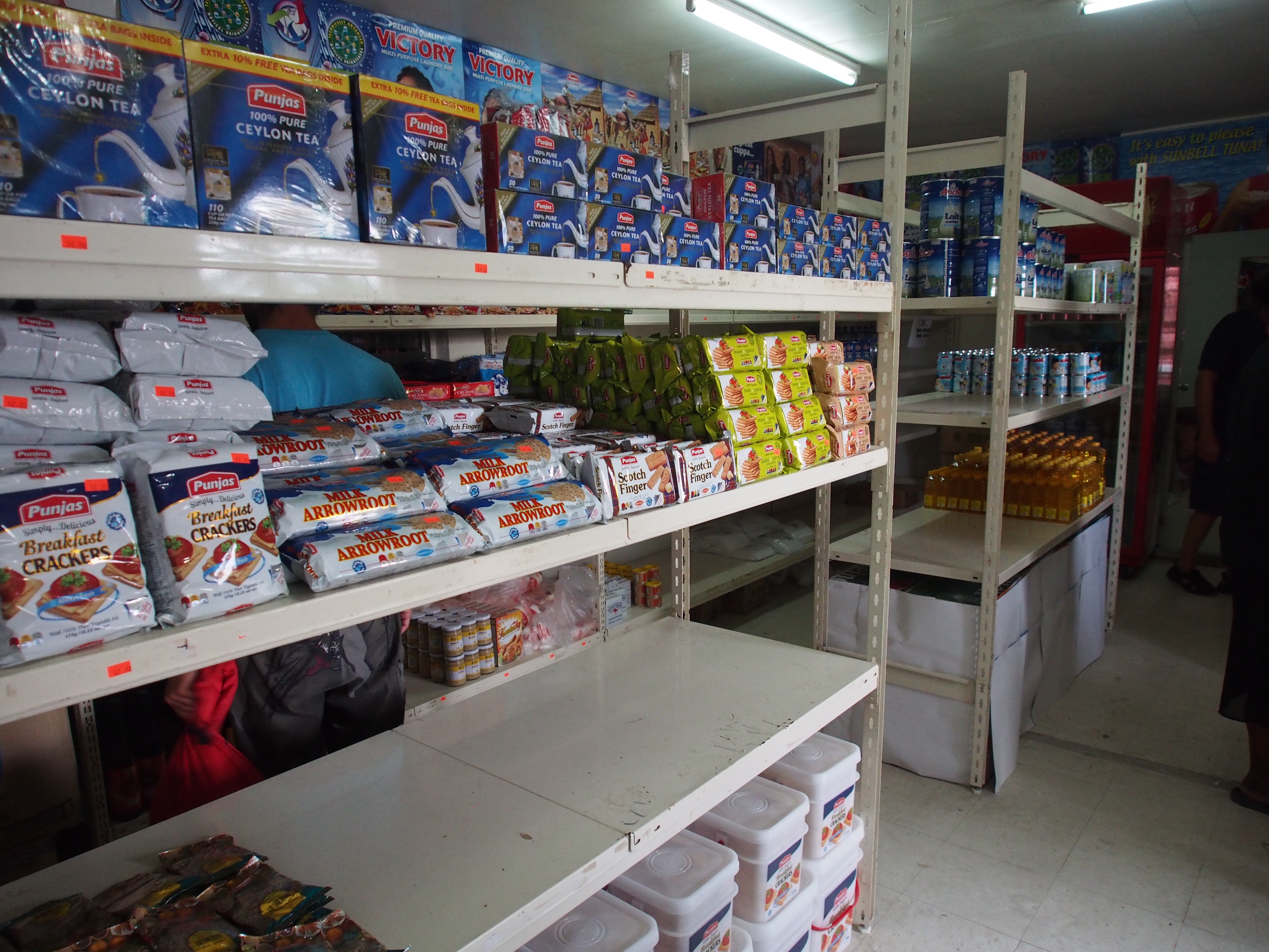
Typical store in London village
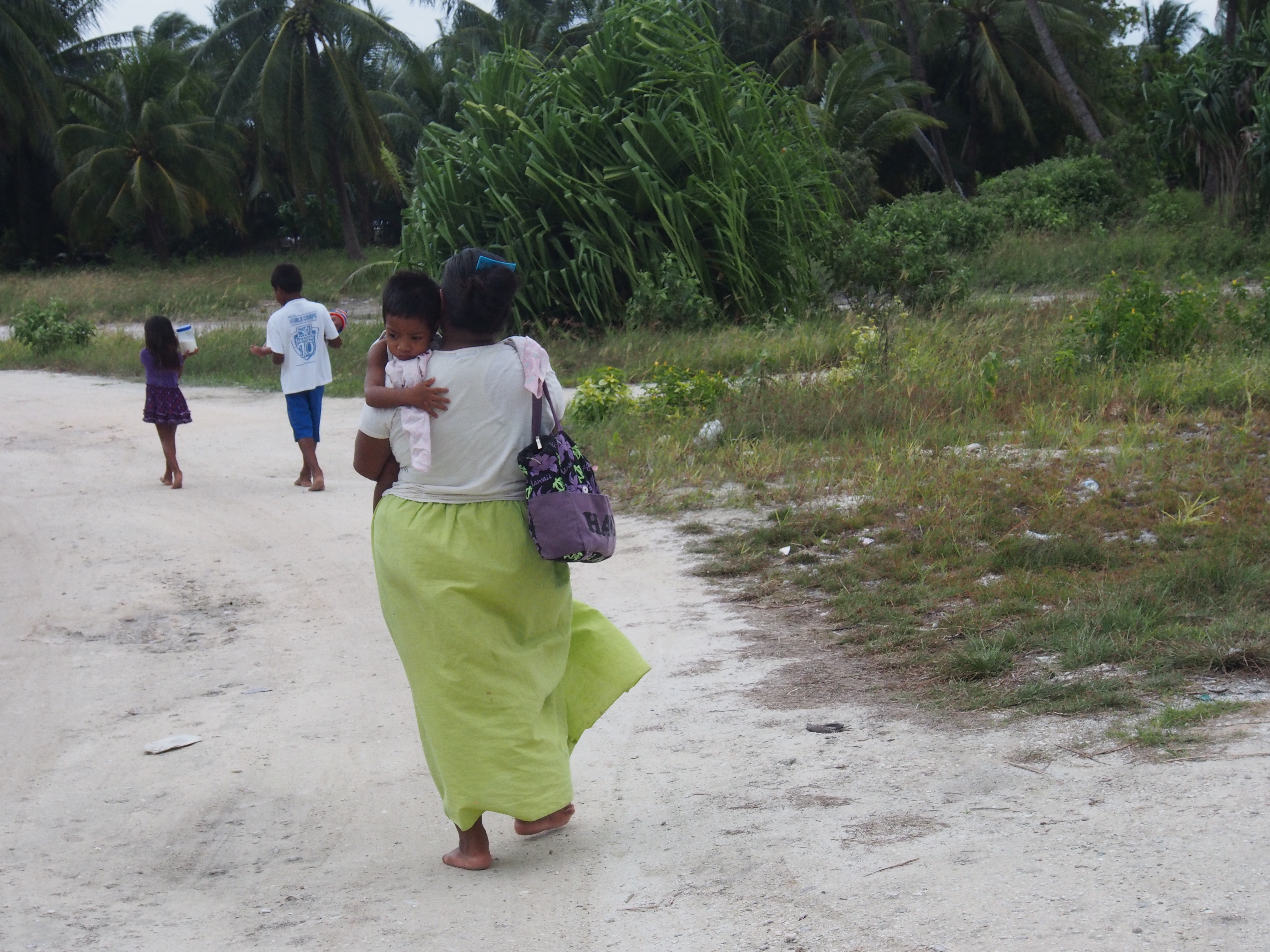
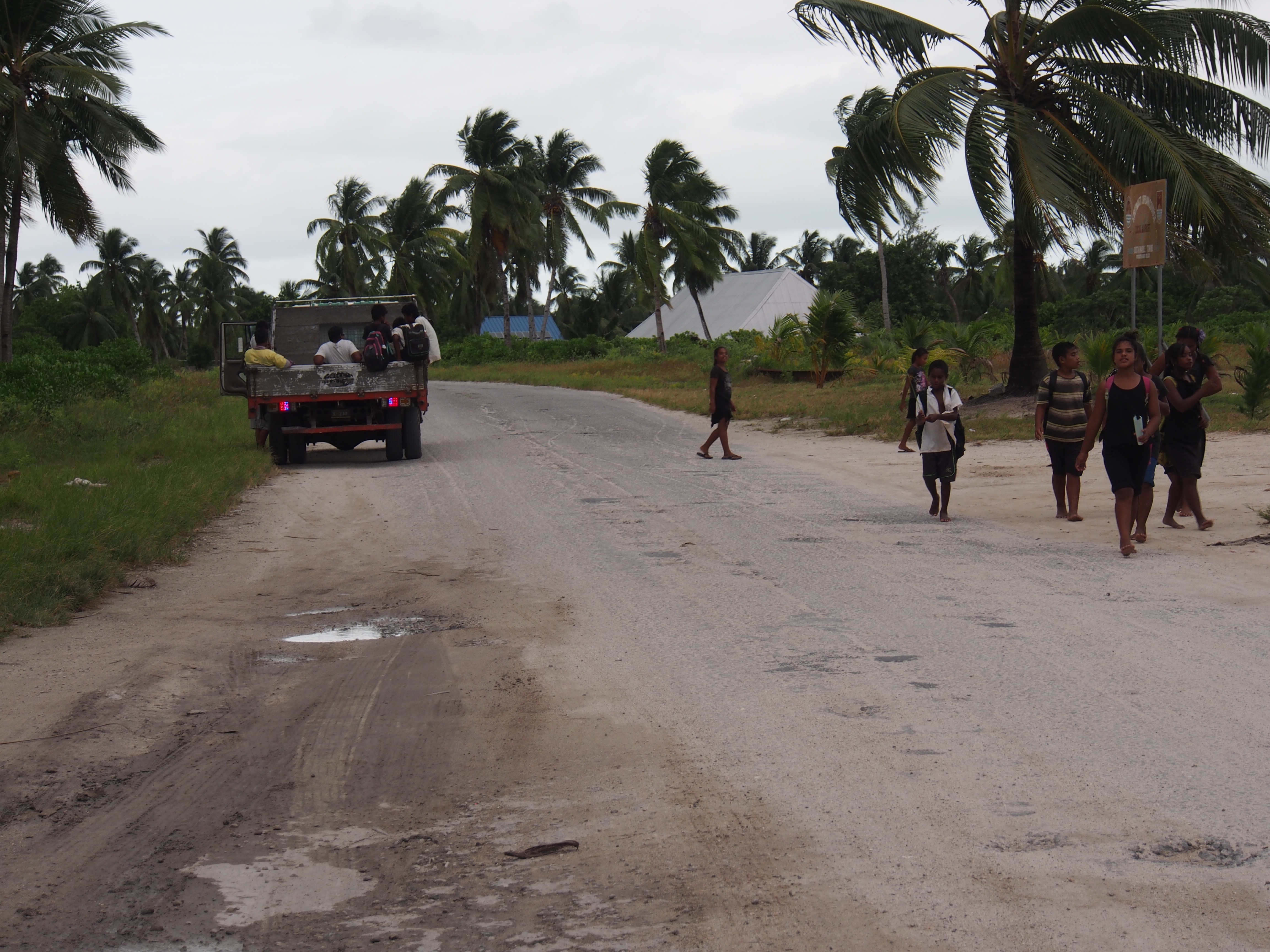
Kids walking home from school
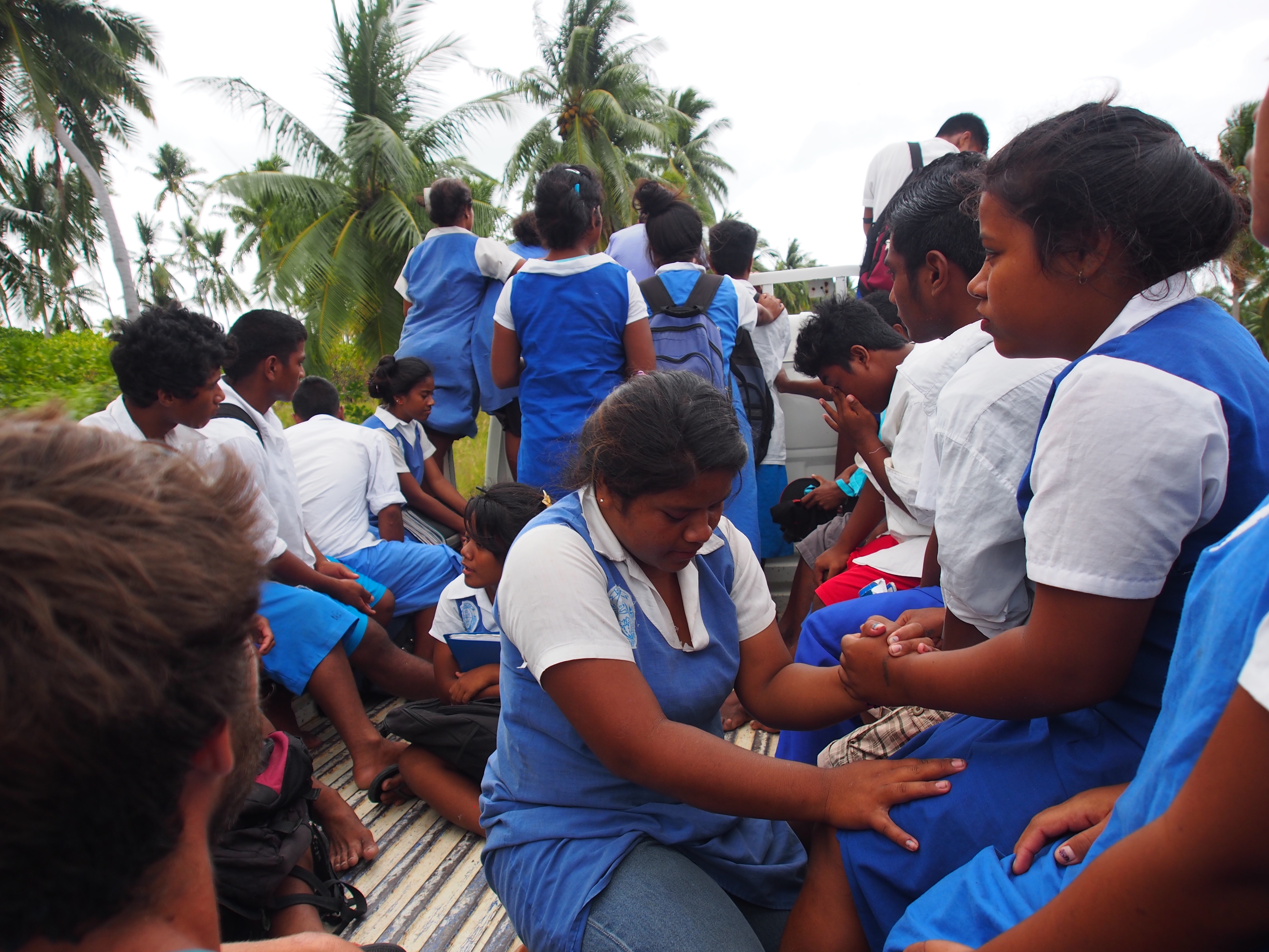
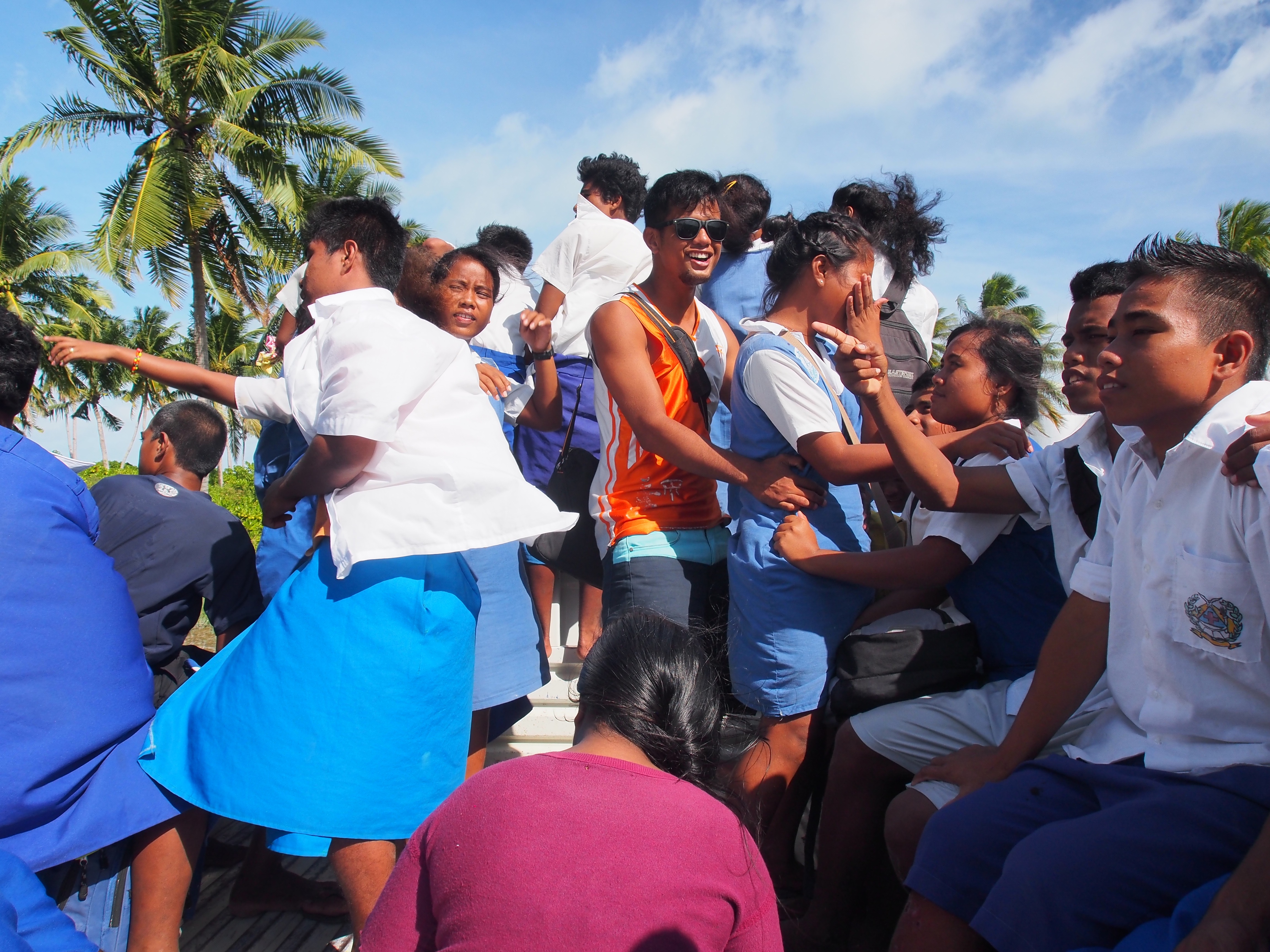
We hitched rides from trucks carrying students from school
Another “school bus” ride to get back to London village
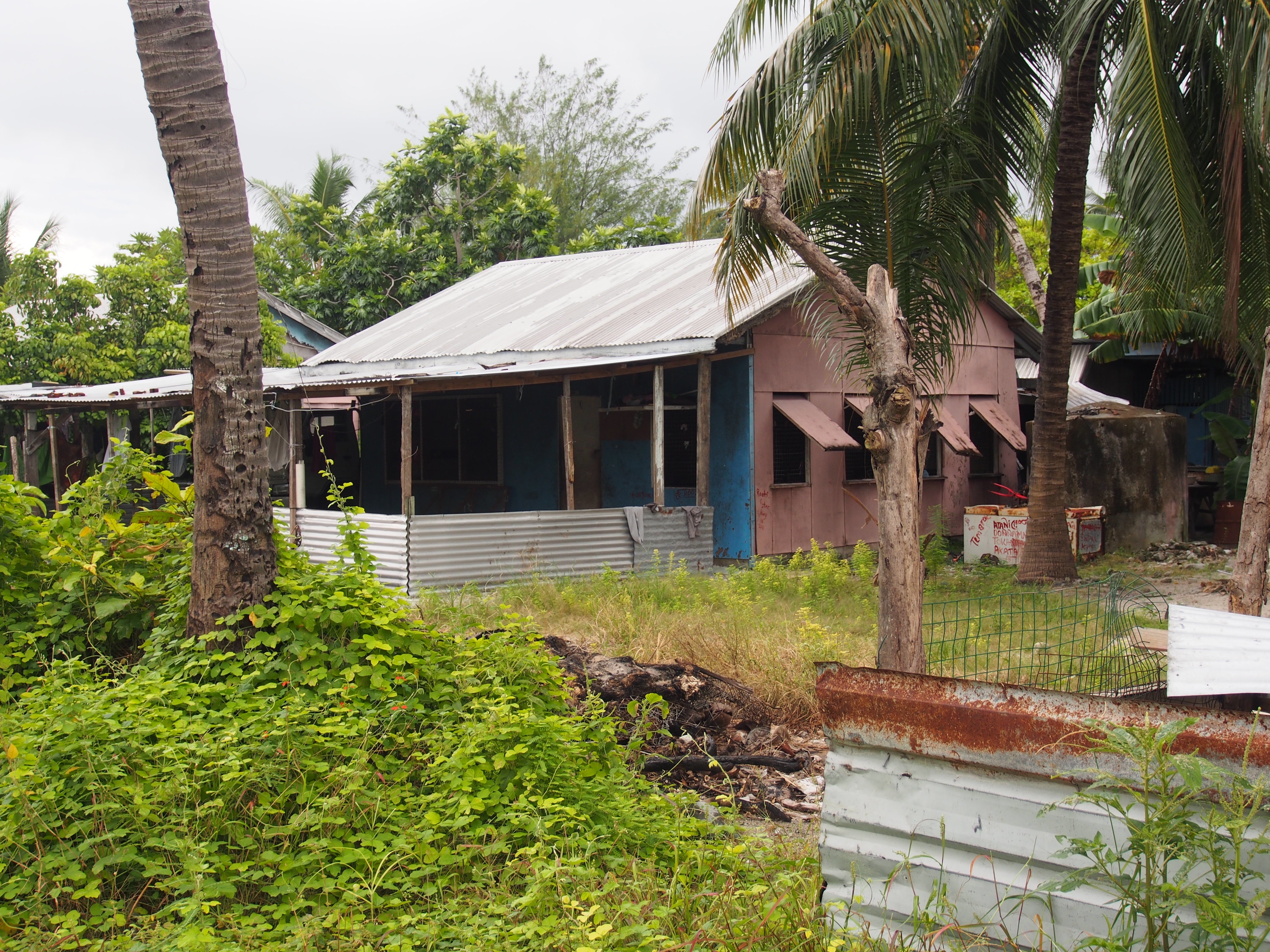
Typical house on Christmas Island
Celebrating our 2 week passage to Kiritimati Island
Kiritimati (‘ti’ is pronounced as an ‘s’ so it sounds like Christmas) is one of the largest atolls in the world and has a population of about 4000. It’s part of the Line Islands in the country of Kiribati. Fishing and very limited tourism, mostly from sports-fishermen, are the main sources of income. We anchored in 35′ of water just off the village of London, on the north-west side of Kiritimati. The entrance to the lagoon is too shallow for Apropos to safely transit, but the anchorage has been calm for the past 7 days. A nice breeze and frequent dips in the water helps with the intense heat at 2 degrees north of the equator. A 15 minute dinghy ride takes us to a central location in London that’s within walking distance to a few small stores, a bank with an ATM, a gas station with diesel, and the customs & immigration offices. The stores have limited groceries such as rice, canned goods (vegetables, soup, spam), limited snacks, beer, soda, and produce such as potatoes, oranges, apples, onions, and garlic. We hitchhiked most of the time to get to where we were going. Several times we jumped in the back of a big flatbed truck that was transporting kids home from school. The kids seemed amused at 3 white men hanging on for the bumpy ride along the partially paved roads. There are no restaurants in London, but a hotel about 4 miles north has a limited menu with cheap and tasty fish and chicken dishes. We hitchhiked there several times.
We made 6 trips over the course of 3 days to the gas station to re-fuel the boat (65 gallons). An option was to have a 200 liter barrel delivered to the commercial pier, but organizing the barrel delivery, transferring it to jerry cans, lowering it down 40 feet into the dinghy, then ferrying it to the boat seemed like too much trouble. Both tanks are now full with an additional 10 gallons in jerry cans, so that should be more than enough to get us through the windless days between here and Hawaii.
I found most of the adults on the island to be polite but not overly-friendly like they were in Samoa, Tonga, and Fiji. Only a few sailboats stop here each year so they are probably not accustomed to yachties. Most are very limited with English, so communicating is difficult. We radioed customs the morning after our arrival and were told to stand by for boarding instructions, then they didn’t respond until the following day. I was then instructed to pick up 7 officials in my dinghy and transport them back to the boat. In the end, only 3 officials returned with me to the boat, and nobody even went below deck to inspect before clearing us in! I think some decided not to come because of the long dinghy ride in the rain! The only other boat here has been anchored for 3 months and is in trouble for bringing pot into Kiritimati (the Portugeese owners are in Hawaii preparing for their legal case).
Getting anything done here has been difficult. I wanted to top off the propane tank and after asking several people, we were told that the KOIL (Kiribati Oil Co) could do it. We ferried the propane tank in the dinghy to shore, then tried to hitch a ride since it was a couple of miles away and the tank was heavy. A motorcycle offered to take me and the tank, so I hopped on the back and held on for dear life. When we got there, it was 1pm and they were closed for lunch until 1:30. By then, Doug and Adam arrived and soon the workers returned. Actually, they were there all the time but closed the door to the office. When they opened, there were 10 people sitting on the floor playing something that looked like bingo but there seemed to be betting involved. They didn’t move when they saw me and had me wait until the end of the round, then told me they only exchange tanks, no refills! I then decided we would have enough propane to get to Hawaii since we have a reserve tank that lasts a few weeks.
Doug and Adam checked into the only hotel in London for their final night since their flight leaves early in the morning, and the airport is on the north side of the atoll. The hotel hosts mostly fishermen and transports them to the airport on Wednesdays, the only day flights arrive and depart from Kiritimati. We found out they have a big farewell dinner and party for the fishermen on Tuesday nights, so I joined Doug and Adam at the hotel. We enjoyed a leisurely day at the hotel/beach overlooking Captain Cook’s Island. The sports-fishermen arrived in the late afternoon with stories of their catch of Wahoo, Grouper, Tuna, Bonefish, Travalli, etc. The dinner was quite the feast–salad, potatoes, fresh Wahoo, lobster, ceviche, and dessert. Entertainment included a girl dancing and a group of about 20 men and women singing. They placed a flowered headband on everyone’s head prior to the meal as a way of welcoming us to their feast. Afterwards I said goodbye to my Samoa to Kiritimati crew and dinghy’d back to the boat in the dark. Getting the engine and dinghy on deck is normally a 2-person job, but I had prepared a 4:1 block & tackle to hoist the engine, and a halyard to raise the dinghy, so all went well.
Tomorrow my new crew flies in from Hawaii and lands at 3:15pm. They’ll be on the same airplane that my old crew takes to Hawaii, so maybe they will see each other at the airport.
Only 1 flight per week comes to Kiritimati (Andi and Justin were on this flight)